Summary
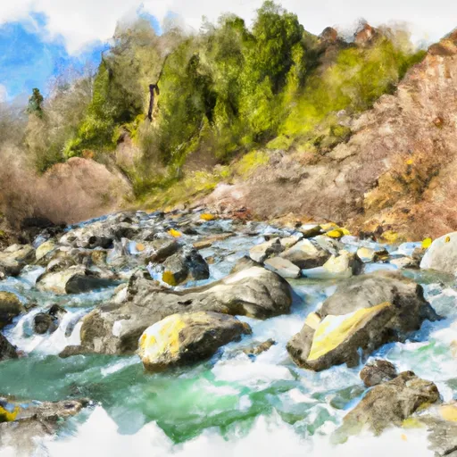
It is approximately 14 feet wide and services the Pilchuck River, which flows into the Snohomish River. The boat ramp is suitable for small boats, canoes, and kayaks. There are no specific restrictions on the types of watercraft that are permitted, but users should exercise caution and follow all rules and regulations for safe boating. Overall, the Snohomish County boat ramp provides a convenient and accessible location for recreational boating and fishing in the area.
°F
°F
mph
Wind
%
Humidity

 Snohomish County
 Canyon Creek To Confluence With North Fork Stillaguamish River
 Headwaters In Ne1/4 Of Sec 14, T29N, R10E To Confluence With Canyon Creek