2026-02-20T04:00:00-08:00
...A SERIES OF SYSTEMS WILL BRING WIDESPREAD SNOW TO THE NORTHERN OREGON AND SOUTHERN WASHINGTON COAST AND CASCADE RANGES THROUGH AT LEAST THURSDAY NIGHT... .A broad area of low pressure will continue to bring widespread snow to elevations above 1500 ft through at least Thursday night. There still remains a lot of uncertainty as to the exact track of this system and is resulting in some variability in total snow fall accumulations through Thursday night. While the forecast remains on track for overall snowfall totals, where exactly the highest accumulations remain in flux. * WHAT...Snow. Additional snow accumulations of 4 to 9 inches through Wednesday night and another 3 to 6 inches of snow Thursday morning through Thursday night * WHERE...South Washington Cascades and the Northern and Central Cascades of Oregon. * WHEN...Until 4 AM PST Friday. * IMPACTS...Roads, and especially bridges and overpasses, will likely become slick and hazardous.
Headwaters In Sw1/4 Of Sec 13, T6n, R7e To Hemlock Road Bridge In Nw1/4 Of Sec 26, T4n, R7e Paddle Report
Last Updated: 2026-02-07
Get the latest Paddle Report, Streamflow Levels, and Weather Forecast for Headwaters In Sw1/4 Of Sec 13, T6n, R7e To Hemlock Road Bridge In Nw1/4 Of Sec 26, T4n, R7e in Washington. Washington Streamflow Levels and Weather Forecast
Summary
°F
°F
mph
Wind
%
Humidity
15-Day Weather Outlook
River Run Details
| Last Updated | 2026-02-07 |
| River Levels | 1200 cfs (4.28 ft) |
| Percent of Normal | 103% |
| Status | |
| Class Level | None |
| Elevation | ft |
| Streamflow Discharge | cfs |
| Gauge Height | ft |
| Reporting Streamgage | USGS 14123500 |
5-Day Hourly Forecast Detail
Nearby Streamflow Levels
Area Campgrounds
| Location | Reservations | Toilets |
|---|---|---|
 Campground: Panther Creek
|
||
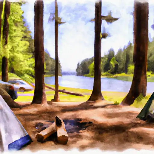 Panther Creek
|
||
 Beaver
|
||
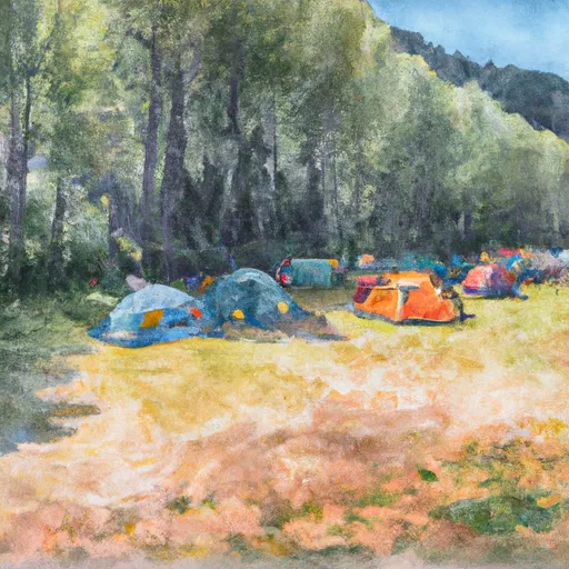 Beaver Campground
|
||
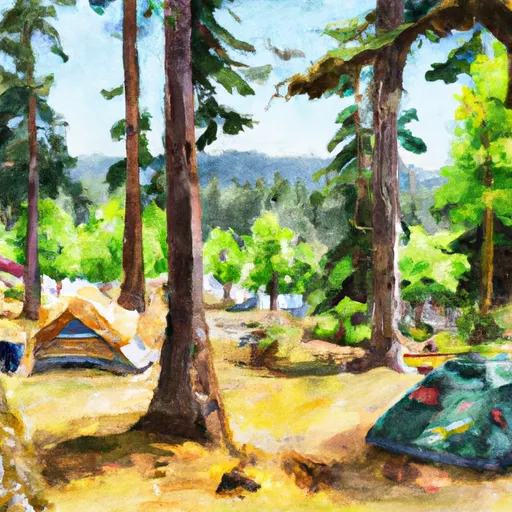 Campground: Beaver
|
||
 Recreation Rental: Gov. Mineral Springs Cabin
|


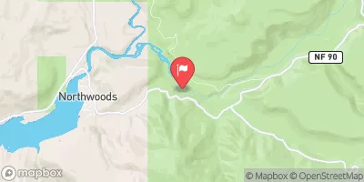
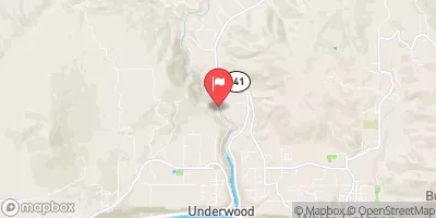
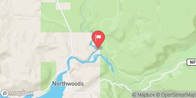
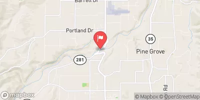
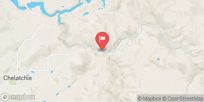
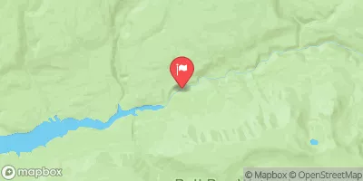
 Headwaters In Sw1/4 Of Sec 13, T6N, R7E To Hemlock Road Bridge In Nw1/4 Of Sec 26, T4N, R7E
 Hemlock Road Bridge To Gifford Pinchot Nf Boundary
 Lang Forest State Scenic Corridor
 Cascade Locks Marine Park
 Toll House Park
 Wilderness Indian Heaven
 Wyeth State Recreation Area