Summary
The ideal streamflow range for this river is between 500 and 1500 cfs, and it has a class rating of III-IV. The segment mileage for this river run is approximately 5.5 miles, stretching from the wilderness boundary to the confluence with the Tye River.
Some of the notable rapids and obstacles on this river run include the "Meatgrinder," "Stinkbug," and "Boulder Drop." The Meatgrinder is a rapid that requires precise navigation through a narrow channel, while the Stinkbug is a technical and steep drop. The Boulder Drop is a class IV rapid with a large boulder in the middle of the river that requires careful maneuvering.
There are specific regulations in place for this area, including the prohibition of motorized watercraft and camping within 200 feet of the river. Additionally, a permit is required to enter the Alpine Lakes Wilderness area. It is important for river runners to be knowledgeable about the regulations and to practice Leave No Trace principles to minimize their impact on the environment.
°F
°F
mph
Wind
%
Humidity
15-Day Weather Outlook
River Run Details
| Last Updated | 2026-02-07 |
| River Levels | 939 cfs (5.99 ft) |
| Percent of Normal | 119% |
| Status | |
| Class Level | iv |
| Elevation | ft |
| Streamflow Discharge | cfs |
| Gauge Height | ft |
| Reporting Streamgage | USGS 12458000 |
5-Day Hourly Forecast Detail
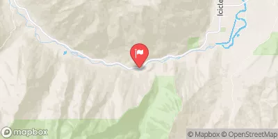
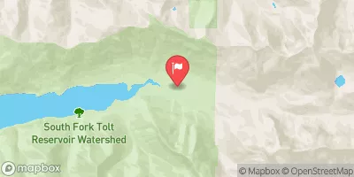
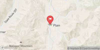
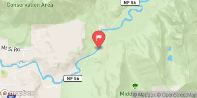
Nearby Streamflow Levels
Area Campgrounds
| Location | Reservations | Toilets |
|---|---|---|
 Waptus Lake Camp
|
||
 Rock Island
|
||
 Rock Island Campground
|
||
 Pete Lake Backpacking Site
|
||
 Trout Lake Creek
|
||
 Chatter Creek Campground
|
River Runs
-
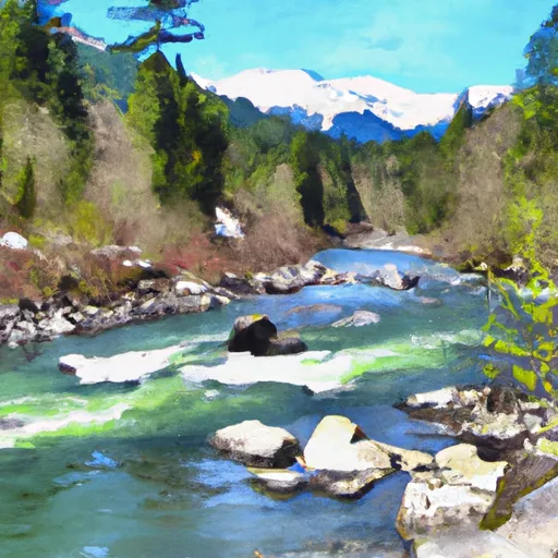 Alpine Lakes Wilderness Boundary To Confluence With Tye River
-
 Headwaters In Nw1/4 Of Sec 12, T24N, R13E To Alpine Lakes Wilderness Boundary
-
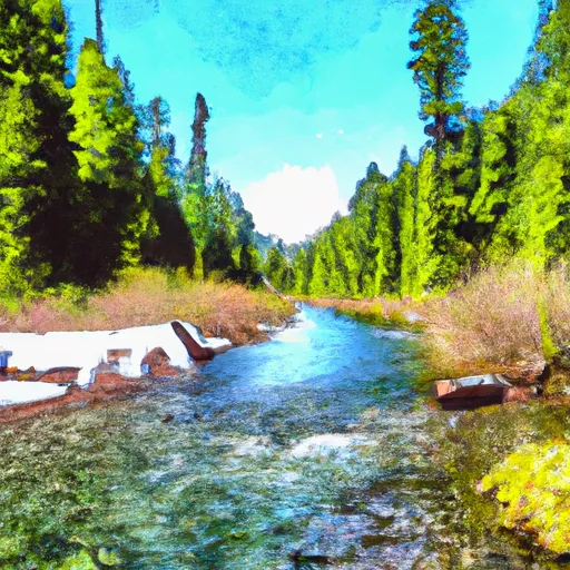 Alpine Lakes Wilderness Boundary To Private Land Boundary At North Section Line Of Sec 3, T23N, R14E
-
 Headwaters In Sw 1/4 Of Sec 11, T24N, R13E To Alpine Lakes Wilderness Boundary
-
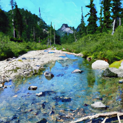 Headwaters At Josephine Lake To Alpine Lakes Wilderness Boundary
-
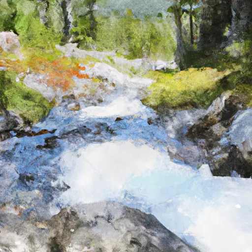 Headwaters At Outlet Of Trico Lake In Sw 1/4 Of Sec 5 T24N, R14E To Alpine Lakes Wilderness Boundary


