2026-02-17T17:00:00-07:00
* WHAT...Snow expected. Total snow accumulations between 3 and 6 inches across much of the area, with higher amounts 8 to 12 inches over Pitchstone Plateau of southwest Yellowstone. Accumulations up to 2 inches around Mammoth. Winds gusting as high as 45 mph. * WHERE...Yellowstone National Park. * WHEN...Until 5 PM MST this afternoon. * IMPACTS...Backcountry travel will be difficult.
Summary
The ideal streamflow range for this run is between 500 and 2,000 cfs, which typically occurs during the spring and early summer months.
The class rating for this run ranges from class II to class IV, with the most challenging rapids found in the last 6 miles of the run. The total segment mileage is approximately 20 miles, with the last 10 miles being the most challenging.
Some of the specific river rapids and obstacles on this run include the Pine Creek Rapid, which is a class IV rapid with a steep drop and a large boulder on the left side. Another challenging rapid is the Toilet Bowl, which is a class III/IV rapid with a tricky entrance and a large hole in the middle.
There are specific regulations to the area that must be followed. For example, all rafters must wear personal flotation devices and helmets, and no glass containers are allowed on the river. Additionally, all rafts must have a throwable flotation device and a whistle.
Overall, the Whitewater River Run is a thrilling and challenging adventure for experienced whitewater rafters who are prepared for the specific river rapids and obstacles that are present on this run.
°F
°F
mph
Wind
%
Humidity
15-Day Weather Outlook
River Run Details
| Last Updated | 2026-02-05 |
| River Levels | 2730 cfs (5.26 ft) |
| Percent of Normal | 89% |
| Status | |
| Class Level | ii-iv |
| Elevation | ft |
| Run Length | 29.0 Mi |
| Streamflow Discharge | cfs |
| Gauge Height | ft |
| Reporting Streamgage | USGS 13010065 |
5-Day Hourly Forecast Detail
Nearby Streamflow Levels
Area Campgrounds
| Location | Reservations | Toilets |
|---|---|---|
 Phantom
|
||
 Pitchstone
|
||
 Moose Creek Meadow
|
||
 8M2
8M2
|
||
 Gregg Fork
|
||
 Beula Lake
|


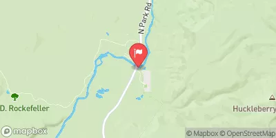
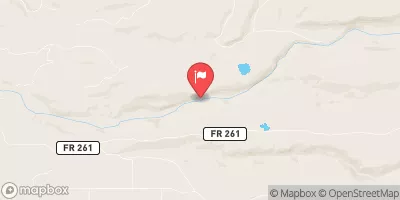
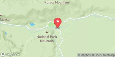
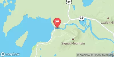
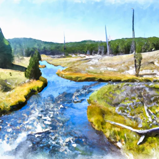 The Headwaters To The Southern Yellowstone National Park Boundary
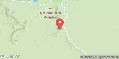
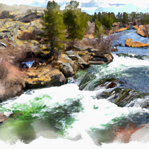 The Headwaters To The Confluence With Falls River
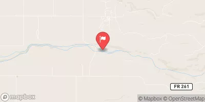
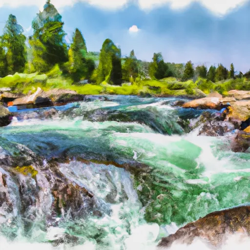 The Headwaters To Ends Approximately At Kepler Cascades