Summary
The ideal streamflow range for this run is between 500-1500 cfs, with higher flows providing significantly more challenging rapids. The class rating of this run ranges from Class II-IV.
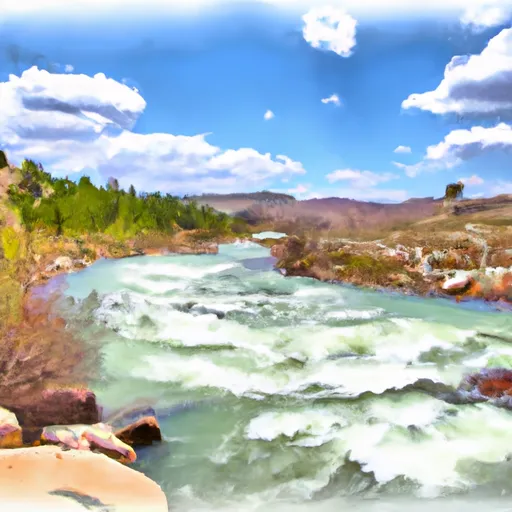
The segment mileage for the Whitewater river run is approximately 8.5 miles, starting at Johnson Creek and running down to the confluence with the North Fork Tongue River. This run features several exciting rapids, including "The Notch," a steep and narrow drop that requires precise navigation.
Regulations for this area include a limit on the number of permits issued each day, which helps to manage the impact of high usage on the environment. Additionally, boaters are required to wear personal flotation devices at all times while on the river, and pack out all trash and waste.
Overall, the Whitewater River run on the South Fork Tongue River provides a thrilling and challenging whitewater experience for experienced boaters who are comfortable with Class II-IV rapids. It is important to follow regulations and best practices to preserve this beautiful natural resource for future generations.
°F
°F
mph
Wind
%
Humidity
15-Day Weather Outlook
River Run Details
| Last Updated | 2021-09-30 |
| River Levels | 48 cfs (1.73 ft) |
| Percent of Normal | 55% |
| Status | |
| Class Level | ii-iv |
| Elevation | ft |
| Streamflow Discharge | cfs |
| Gauge Height | ft |
| Reporting Streamgage | USGS 06298000 |
5-Day Hourly Forecast Detail
Nearby Streamflow Levels
Area Campgrounds
| Location | Reservations | Toilets |
|---|---|---|
 Arrowhead Lodge
|
||
 Pine Island Group Campground
|
||
 Prune Creek
|
||
 Prune Creek Campground
|
||
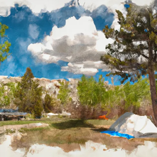 Sibley Lake Campground
|
||
 Sibley Lake
|


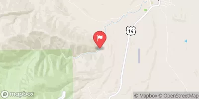
 Sf Tongue- Johnson Creek To Confluence With Nf Tongue
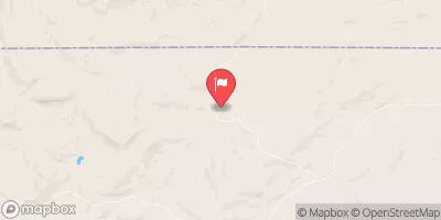
 Nf Tongue From Burgess Picnic Ground To Pole Creek
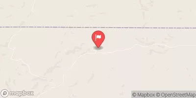
 Bridge At Tongue River Canyon To Burgess Picnic Grounds