Summary
The ideal streamflow range for this run is between 1,000-2,000 cubic feet per second (cfs). The river is rated as Class III-IV, meaning it has moderate to difficult rapids with irregular waves and obstacles that require maneuvering.
The segment mileage of this run is approximately 10 miles, starting at the headwaters of the Hoback River and ending at the Hoback River Campground. Along the way, there are several notable rapids and obstacles, including "The Slide," which is a steep, narrow chute that drops into a pool of swirling water. Other notable rapids include "Big Kahuna," "Dead Man's Corner," and "The Hoback Hilton."
There are specific regulations in place for this area to ensure safety and protect the environment. A permit is required to access the river, and all boaters must wear a personal flotation device (PFD) at all times. Additionally, the use of alcohol and drugs is prohibited on the river.
Overall, the Whitewater River Run from Source to End of Hoback Road is a challenging and exciting adventure for experienced kayakers and rafters. It is important to adhere to regulations and safety guidelines to ensure a safe and enjoyable experience.
°F
°F
mph
Wind
%
Humidity
15-Day Weather Outlook
River Run Details
| Last Updated | 2025-12-01 |
| River Levels | 1770 cfs (3.37 ft) |
| Percent of Normal | 88% |
| Status | |
| Class Level | iii-iv |
| Elevation | ft |
| Streamflow Discharge | cfs |
| Gauge Height | ft |
| Reporting Streamgage | USGS 09188500 |


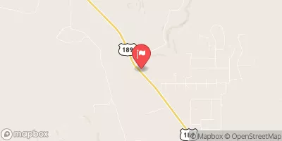
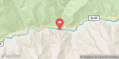
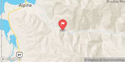



 Source To End Of Hoback Road
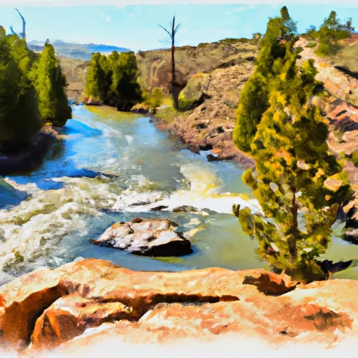 Source To Trailhead
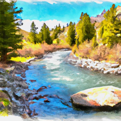 Source To Cliff Creek Trailhead
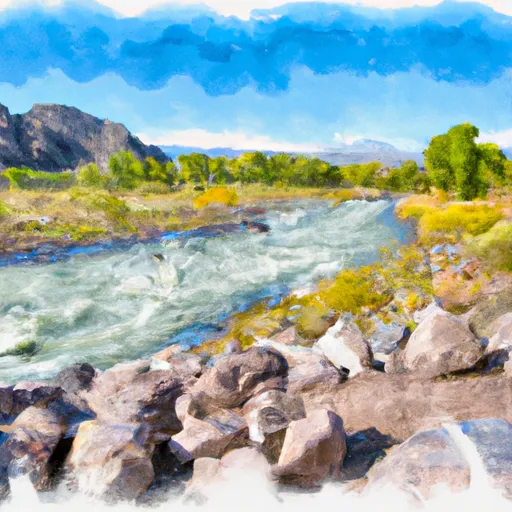 Trailhead To Confluence With Greys River
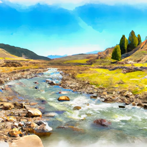 Source, Pickle Pass To Confluence With Hoback River