Summary
The ideal streamflow range for this run is between 400 and 1,000 cubic feet per second (cfs), which typically occurs during the months of May and June.
This river run is classified as Class III-V, with steep and technical rapids that require advanced paddling skills. The segment mileage for this run is approximately 10 miles, which can be completed in a full day of paddling.
There are several specific rapids and obstacles along this river run, including the Entrance Rapid, S-Turn Rapid, and Pinball Rapid. These rapids require precise maneuvering and careful navigation to avoid hazards such as rocks and logs.
There are specific regulations to be aware of when paddling this section of the Whitewater River. Permits are required for commercial outfitters, and visitors should be aware of private property boundaries along the river. Additionally, there are restrictions on camping and campfires in certain areas.
°F
°F
mph
Wind
%
Humidity
15-Day Weather Outlook
River Run Details
| Last Updated | 2020-07-13 |
| River Levels | 18 cfs (2.66 ft) |
| Percent of Normal | 15% |
| Status | |
| Class Level | iii-v |
| Elevation | ft |
| Streamflow Discharge | cfs |
| Gauge Height | ft |
| Reporting Streamgage | USGS 06622900 |


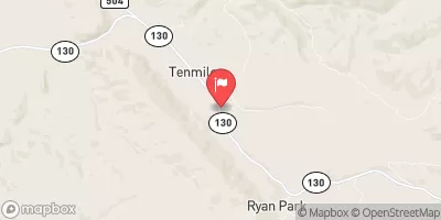
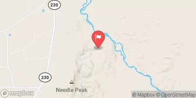
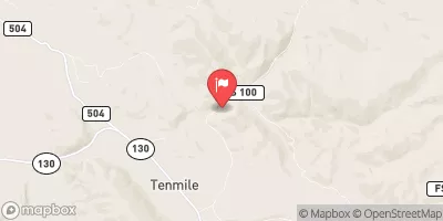
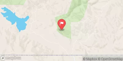

 Bennett Creek Campsite 6
 Bennett Creek Campsite 7
 Bennett Creek Campground
 Bennett Creek Campsite 8
 Bennett Creek Campsite 9
 Bennett Creek Campsite 10
 Confluence Withdouglas Creek To Bennett Peak
 North Platte River