Summary
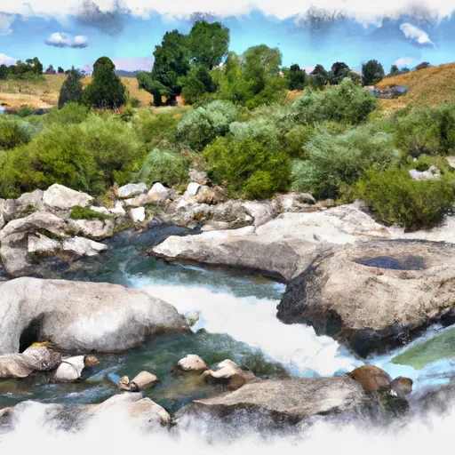
Badger Creek in Wyoming is a popular whitewater river run that attracts paddlers of different skill levels. The ideal streamflow range for Badger Creek is between 200 and 600 cfs. At low levels, the river can be challenging to navigate due to shallow rocks and boulders. At high levels, the rapids become more intense and require advanced skills.
The class rating for Badger Creek varies depending on the segment. The upper segment of the river is rated class III, while the lower segment is rated class II. The upper segment spans about 10 miles, while the lower segment is about 14 miles long.
Badger Creek features several rapids and obstacles that paddlers should be aware of. Some of the notable rapids include the Entrance, Pinball, and the Elevator. The Entrance is a class III rapid that features a steep drop followed by a technical maneuver through a narrow gap between rocks. Pinball is another class III rapid that features boulder gardens and tight channels. The Elevator is a class IV rapid that requires advanced skills and experience to navigate safely.
There are specific regulations that paddlers should adhere to when accessing Badger Creek. The area is managed by the Bureau of Land Management, and visitors are required to obtain a permit before entering the river. There are also restrictions on camping and fires, and visitors are advised to pack out all trash and waste.
In conclusion, Badger Creek is a scenic and exciting whitewater river run that offers a range of challenges for paddlers. With an ideal streamflow range of 200 to 600 cfs, class II to IV rapids, and specific regulations to the area, it is a popular destination for kayakers, rafters, and other water sports enthusiasts.
°F
°F
mph
Wind
%
Humidity
15-Day Weather Outlook
River Run Details
| Last Updated | 2025-06-28 |
| River Levels | 4490 cfs (10.8 ft) |
| Percent of Normal | 57% |
| Status | |
| Class Level | iii-ii |
| Elevation | ft |
| Streamflow Discharge | cfs |
| Gauge Height | ft |
| Reporting Streamgage | USGS 13013650 |
5-Day Hourly Forecast Detail
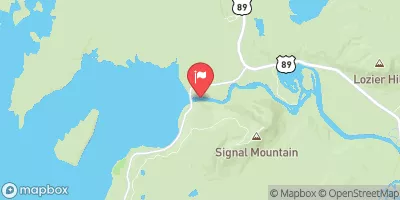
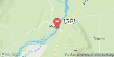
Nearby Streamflow Levels
Area Campgrounds
| Location | Reservations | Toilets |
|---|---|---|
 CMC Camp
|
||
 Holly Lake
|
||
 Outlier Site
|
||
 Bearpaw Lake 17A
|
||
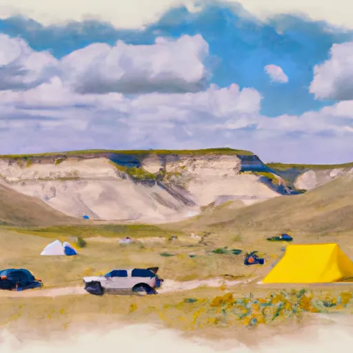 17B
17B
|
||
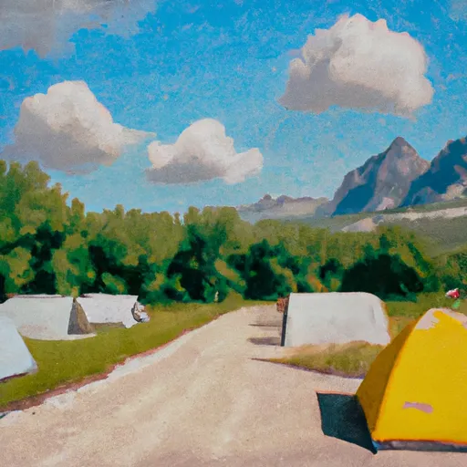 Teton Canyon Campground
|


 Badger Creek
 Headwaters Of South And Roaring Forks And Mainstem To Confluence With South Fork