
2025-12-20T05:00:00-07:00
* WHAT...Heavy snow. Additional snow accumulations of 10 to 20 inches with amounts of 1 to 2 feet in the highest elevations. 3 to 6 inches of additional snow is expected for South Pass. Winds could gust as high as 60 to 70 mph with locally stronger gusts possible. * WHERE...Wind River Mountains East and Wind River Mountains West. * WHEN...Until 5 AM MST Saturday. * IMPACTS...Travel could be very difficult. Blowing snow could significantly reduce visibility. The hazardous conditions could impact travel along South Pass. Backcountry travel is not advised.
Summary
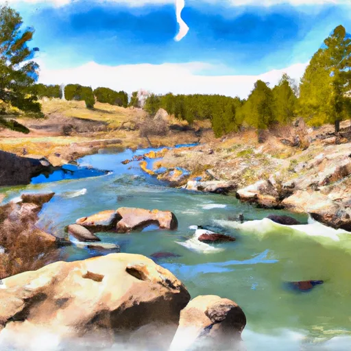
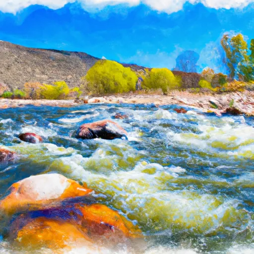
The ideal streamflow for this river ranges from 200-500 cfs, which is typically during the spring and early summer months. The river is rated as a Class III-IV, making it suitable for intermediate and advanced paddlers. The segment mileage for this river run is approximately 14 miles, and it is typically completed in one day.
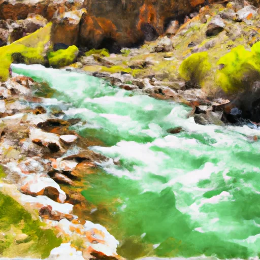
The East Fork River features several challenging rapids and obstacles, including "The Chute" and "Panther Creek Falls." The Chute is a Class IV rapid that requires precise navigation through a narrow channel filled with large boulders. Panther Creek Falls is a Class III+ rapid that requires precise navigation between two large rocks to avoid an 8-foot waterfall.
To ensure safety and preservation of the area, there are specific regulations that must be followed. All boaters must obtain a river permit from the Forest Service before accessing the river. Additionally, there are restrictions on camping and fires in the area. These regulations help to preserve the natural beauty of the area and ensure a safe and enjoyable experience for all.
Overall, the East Fork River offers a challenging and thrilling whitewater river run for experienced paddlers. With its ideal streamflow range, class rating, segment mileage, and specific rapids and obstacles, this river is a must-visit destination for any whitewater enthusiast.
River Run Details
| Last Updated | 2025-06-28 |
| River Levels | 1060 cfs (5.87 ft) |
| Percent of Normal | 39% |
| Status | |
| Class Level | iii-iv |
| Elevation | ft |
| Streamflow Discharge | cfs |
| Gauge Height | ft |
| Reporting Streamgage | USGS 06228350 |

Weather Forecast
Nearby Streamflow Levels
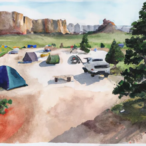
Area Campgrounds
| Location | Reservations | Toilets |
|---|---|---|
 Big Sandy Campground
|
||
 Big Sandy
|
||
 Dutch Joe Camping Area
|
||
 Squaw Creek Campground
|
||
 Squaw Creek Campsite 1
|
||
 Squaw Creek Campsite 2
|
 East Fork River
 Irish Canyon Creek
 North Fork Silver Creek