

Summary
Regional Streamflow Levels
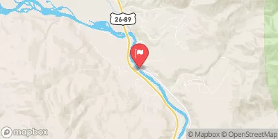
 Green River At Warren Bridge
|
349cfs |
 Pine Creek Above Fremont Lake
|
102cfs |
 New Fork River Near Big Piney
|
311cfs |
 Snake River Bl Flat Creek Nr Jackson Wy
|
2960cfs |
 Dinwoody Creek Above Lakes
|
45cfs |
 Snake River Ab Reservoir Nr Alpine Wy
|
4040cfs |
15-Day Long Term Forecast
River Run Details
| Last Updated | 2025-06-28 |
| River Levels | 1770 cfs (3.37 ft) |
| Percent of Normal | 38% |
| Status | |
| Class Level | None |
| Elevation | ft |
| Streamflow Discharge | cfs |
| Gauge Height | ft |
| Reporting Streamgage | USGS 09188500 |

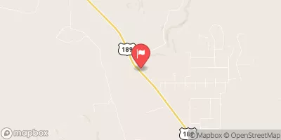
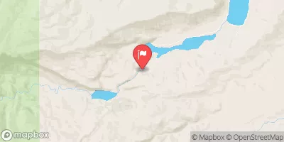
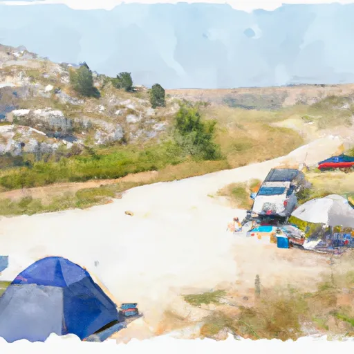
 Green River Access Site 3 Campsite 1
 Green River Access Site 3 Campsite 2
 Green River Access Site 3 Campsite 3
 Green River Access Site 2 Campsite 3
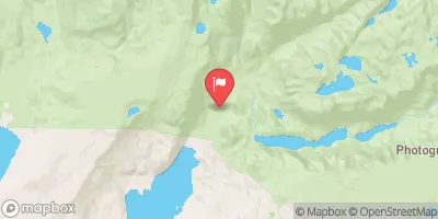
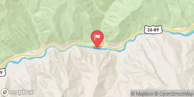
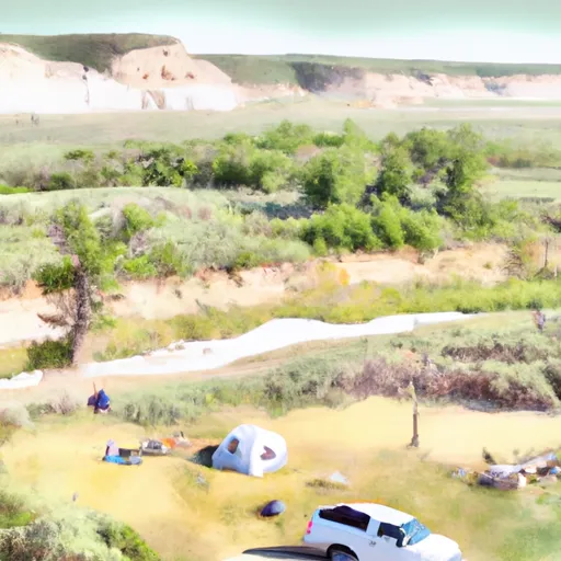
 Warren Bridge/Green River Dispersed
 Green River Access Site 2 Campsite 2
 Green River Access Site 3 Boat Launch
 Green River Access Site 2 Boat Launch
 Green River Access Site 1 Boat Ramp
 Green River Access Site 5 Boat Ramp
 Green River Access Site 6 Boat Launch
 Green River Access Site 8 Boat Launch
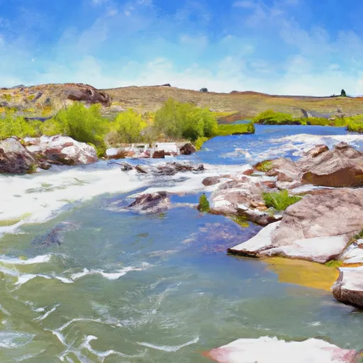 Green River