2026-02-17T19:00:00-07:00
* WHAT...Southwest winds 30 to 40 mph with gusts up to 70 mph. * WHERE...Green Mountains and Rattlesnake Range, Natrona County Lower Elevations, and East Sweetwater County. * WHEN...Until 7 PM MST Tuesday. * IMPACTS...Travel could be difficult, especially for high profile vehicles. Strong wind combined with low humidity could bring elevated fire behavior.
Summary
The ideal streamflow range for the river is between 600-1500 cfs, which typically occurs in the late spring and early summer months. The river is rated as a class III-IV, with challenging rapids and obstacles that require advanced paddling skills. The segment mileage for the river is approximately 6.5 miles, with the run starting at the Boxelder Campground and ending at the Highway 14 bridge.
Some of the specific rapids and obstacles on the Rock Creek run include Tumbleweed, a class III rapid with multiple waves and a large hole, and the Class IV Rock Drop, which features a steep drop and turbulent water. Other challenging rapids include S-Turn and Corkscrew.
There are specific regulations that apply to the Rock Creek area. Rafting and kayaking are allowed on the river, but all boaters are required to wear a life jacket and carry a whistle. Additionally, there are restrictions on the use of motorized boats and fishing in certain areas. It is important to check with local authorities for the most up-to-date regulations before embarking on a trip down Rock Creek.
°F
°F
mph
Wind
%
Humidity
15-Day Weather Outlook
River Run Details
| Last Updated | 2025-06-28 |
| River Levels | 610 cfs (4.56 ft) |
| Percent of Normal | 46% |
| Status | |
| Class Level | iii-iv |
| Elevation | ft |
| Streamflow Discharge | cfs |
| Gauge Height | ft |
| Reporting Streamgage | USGS 06638090 |


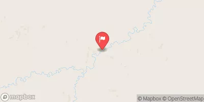
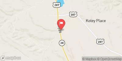

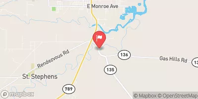
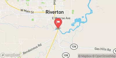
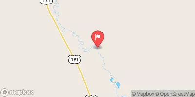
 Rock Creek Hollow
 Atlantic City Campsite 18
 Atlantic City Campsite 16
 Atlantic City Campsite 12
 Atlantic City Campsite 14
 Atlantic City Campsite 10
 Rock Creek