Summary
Nestled amidst natural beauty, this campground provides various amenities to make your stay comfortable and enjoyable. The camping area offers picnic tables, fire rings, and restroom facilities. Additionally, there are designated areas for fishing and boating, allowing visitors to engage in recreational activities.
Reservations are not accepted at Indian Crossing camping area, and campsites are available on a first-come, first-served basis. It is advisable to arrive early, especially during peak seasons, to secure a spot. The best time to visit this camping area is during the spring and fall, when the weather is mild and the landscape is vibrant. Summers tend to be hot, so it is essential to bring sufficient water and sun protection.
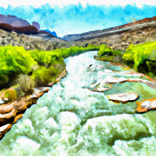
While camping at Indian Crossing, be cautious of wildlife in the area, including rattlesnakes and bears. It is important to store food properly and dispose of waste responsibly to avoid attracting animals. The camping area also features stunning views of the surrounding rock formations and the nearby lake, providing ample opportunities for outdoor exploration and photography. Overall, Indian Crossing camping area offers a tranquil and scenic getaway for nature enthusiasts seeking a peaceful camping experience in Utah.
°F
°F
mph
Wind
%
Humidity
15-Day Weather Outlook
Nearby Campgrounds
5-Day Hourly Forecast Detail
Nearby Streamflow Levels
 Green River Near Greendale
|
841cfs |
 Big Brush Creek Abv Red Fleet Res
|
8cfs |
 Henrys Fork Near Manila
|
49cfs |
 Ashley Cr Abv Sp Nr Vernal Ut
|
4cfs |
 Ashley Creek Near Vernal
|
18cfs |
 Green River Near Jensen
|
1370cfs |
Camping Essential Practices
Take all trash, food scraps, and gear back with you to keep campsites clean and protect wildlife.
Respect Wildlife
Observe animals from a distance, store food securely, and never feed wildlife to maintain natural behavior and safety.
Know Before You Go
Check weather, fire restrictions, trail conditions, and permit requirements to ensure a safe and well-planned trip.
Minimize Campfire Impact
Use established fire rings, keep fires small, fully extinguish them, or opt for a camp stove when fires are restricted.
Leave What You Find
Preserve natural and cultural features by avoiding removal of plants, rocks, artifacts, or other elements of the environment.
Related Links
Nearby Snowpack Depths
|
KING'S CABIN
|
188" |
|
NOHRSC KING'S CABIN
|
0" |
|
TROUT CREEK
|
194" |
|
TROUT CREEK
|
0" |
|
JENSEN COOP
|
0" |
|
HICKERSON PARK
|
6" |

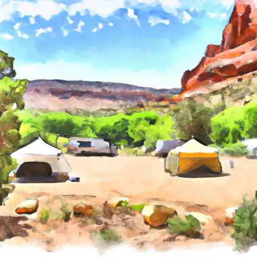 Indian Crossing
 Bridge Hollow
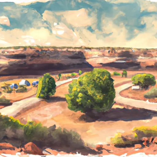 Bridge Hollow Campground (BLM)
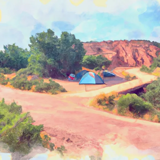 Bridge Hollow Campground
 River Overlook Primative Camp
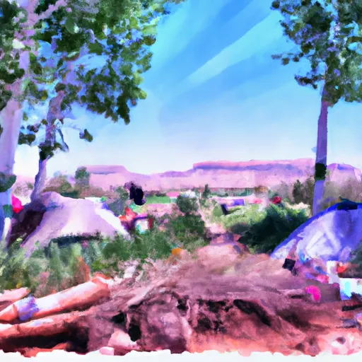 Beaver Dam Campsite I
 Indian Crossing Boat Ramp
 Pond Canal Road Daggett County
 Bridgeport Boat Ramp
 Swallow Canyon Boat Ramp
 C Section
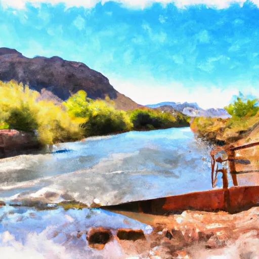 The Bureau Of Land Management Boat Ramp At Indian Crossing To Gates Of Lodore
 Upper Green River