2026-02-17T17:00:00-07:00
* WHAT...Southwest winds 30 to 40 mph with gusts up to 65 mph expected. * WHERE...Lander Foothills, Upper Wind River Basin, Wind River Basin, Northeast Johnson County, Southeast Johnson County, and Cody Foothills. * WHEN...Until 5 PM MST Tuesday. * IMPACTS... Travel will be difficult, especially for high profile vehicles.
Summary
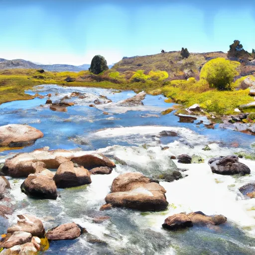
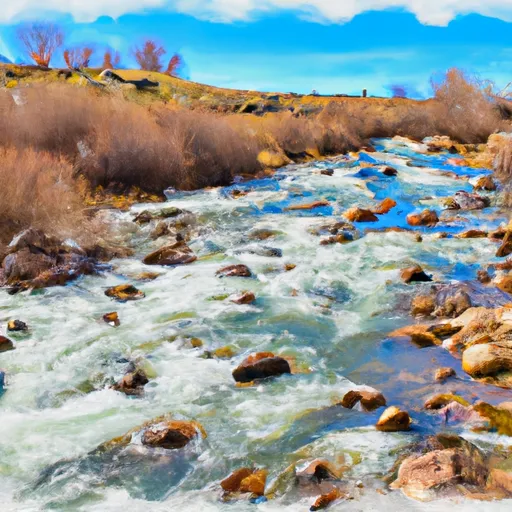
The ideal streamflow range for this river is between 1,000 and 4,000 cubic feet per second (cfs), which typically occurs in the late spring and early summer months. The river is classified as a Class III to IV, meaning it has moderate to difficult rapids and requires some experience and skill to navigate.
The river has various segments for kayaking and rafting, with the most popular being the Wind River Canyon section. This section is 12 miles long and has several challenging rapids, including Corkscrew, Baptism, and Frog Pond. Other sections of the river, such as the Sinks Canyon and Dubois sections, offer different experiences and levels of difficulty.
One of the main regulations for the Wind River is that all boaters must have a permit from the Bureau of Land Management. Additionally, all boaters must wear a personal flotation device and have a whistle and a throw rope on board.
It is important to note that the Wind River is not suitable for beginners, and anyone attempting to navigate the river should have prior experience and appropriate safety gear. It is also important to check the current streamflow before embarking on a trip, as water levels can fluctuate rapidly.
°F
°F
mph
Wind
%
Humidity
15-Day Weather Outlook
River Run Details
| Last Updated | 2025-06-28 |
| River Levels | 4120 cfs (6.59 ft) |
| Percent of Normal | 31% |
| Status | |
| Class Level | iii |
| Elevation | ft |
| Streamflow Discharge | cfs |
| Gauge Height | ft |
| Reporting Streamgage | USGS 06220800 |
5-Day Hourly Forecast Detail
Nearby Streamflow Levels
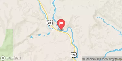 Wind River Above Red Creek
|
220cfs |
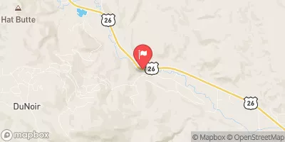 Wind River Near Dubois
|
106cfs |
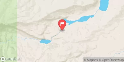 Dinwoody Creek Above Lakes
|
120cfs |
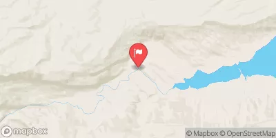 Bull Lake Creek Above Bull Lake
|
30cfs |
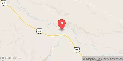 Bull Lake Creek Near Lenore
|
831cfs |
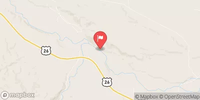 Wind River Near Crowheart
|
1630cfs |


 Wind River
 Warm Springs Creek