
2025-12-19T17:00:00-07:00
* WHAT...West winds 35 to 45 mph with gusts up to 70 mph, with isolated gusts to 80 mph. * WHERE...Bighorn Mountains Southeast. * WHEN...Until 5 PM MST this afternoon. * IMPACTS...Damaging winds may blow down trees and power lines. Travel could be difficult, especially for high profile vehicles. * ADDITIONAL DETAILS...The strongest gusts will occur around and north of Powder River Pass, downsloping on the eastern slopes.
Summary
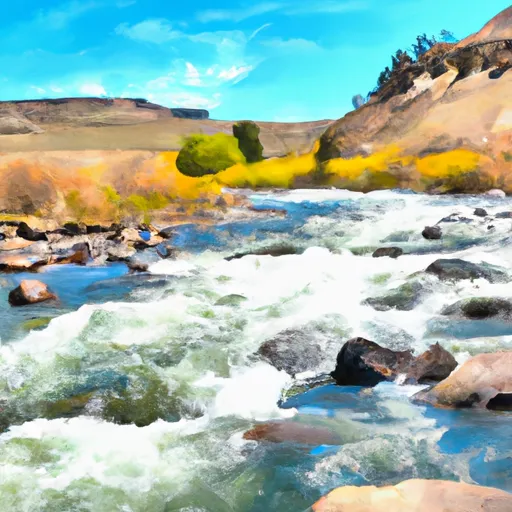
The ideal streamflow range for this river run is between 200 and 500 cubic feet per second (cfs) during late May and early June. The North Fork Powder River has a class rating of III-IV, which means that this river is challenging and requires good technical skills to navigate. The segment mileage for this river run varies between 17 to 33 miles depending on the starting point and the desired takeout point.
The specific river rapids and obstacles that kayakers and rafters will encounter on the North Fork Powder River include The S-Turn, The Narrows, and The Jump. The S-Turn is a series of tight turns that require precise maneuvering to navigate. The Narrows is a tight section of the river with steep walls, which makes it a challenging section to navigate. The Jump is a series of waterfalls with drops that range from 5 to 15 feet, which require advanced technical skills to navigate safely.
There are specific regulations that kayakers and rafters must adhere to when taking on the North Fork Powder River. These regulations include wearing a life jacket at all times, not littering on the river or surrounding areas, and respecting private property along the riverbank. Additionally, kayakers and rafters must have a permit before launching into the river.
In conclusion, the North Fork Powder River is a challenging and exciting whitewater river run with ideal streamflow range of 200 to 500 cfs during late May and early June. This river has a class rating of III-IV and features specific river rapids and obstacles such as The S-Turn, The Narrows, and The Jump. Kayakers and rafters must adhere to specific regulations when taking on the North Fork Powder River, including obtaining a permit and respecting private property along the riverbank.
River Run Details
| Last Updated | 2020-08-01 |
| River Levels | 50 cfs (4.24 ft) |
| Percent of Normal | 90% |
| Status | |
| Class Level | None |
| Elevation | ft |
| Streamflow Discharge | cfs |
| Gauge Height | ft |
| Reporting Streamgage | USGS 06311400 |

Weather Forecast
Nearby Streamflow Levels
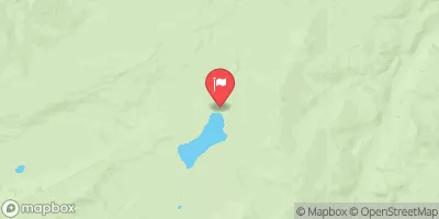
Area Campgrounds
| Location | Reservations | Toilets |
|---|---|---|
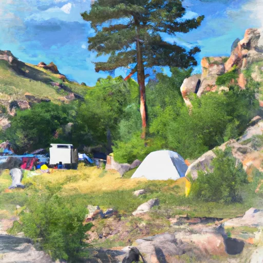 Lower Doyle Creek Campground
|
||
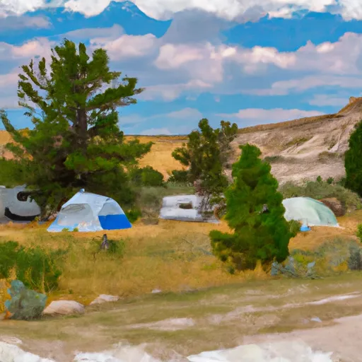 Doyle Campground
|
||
 Doyle
Doyle
|
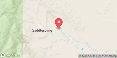
 North Fork Powder River