Summary
The ideal streamflow range for this run is between 200 and 800 cfs, with higher flows typically providing more challenging rapids. This section of the river is rated as a Class III to IV, making it suitable for intermediate to advanced paddlers.
The segment mileage of the Paint Rock Creek (South Fork) run is approximately 7 miles. Along this stretch, paddlers will encounter several notable rapids and obstacles, including the "Big Bamboo" rapid, which features a steep drop, and "Pinball Alley," a series of boulder-strewn drops and chutes.
In terms of regulations, all boaters are required to obtain a permit from the Bureau of Land Management before launching on the river. Additionally, visitors are expected to adhere to Leave No Trace principles and to respect the natural beauty of the area.
°F
°F
mph
Wind
%
Humidity
15-Day Weather Outlook
River Run Details
| Last Updated | 2022-10-05 |
| River Levels | 13 cfs (1.14 ft) |
| Percent of Normal | 92% |
| Status | |
| Class Level | iii |
| Elevation | ft |
| Streamflow Discharge | cfs |
| Gauge Height | ft |
| Reporting Streamgage | USGS 06278300 |
5-Day Hourly Forecast Detail
Nearby Streamflow Levels
Area Campgrounds
| Location | Reservations | Toilets |
|---|---|---|
 Island Park Campground
|
||
 Island Park
|
||
 Deer Park
|
||
 West Tensleep Lake
|
||
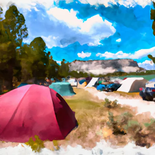 West Tensleep Lake Campground
|
||
 Willow Park Campground
|


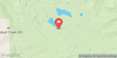
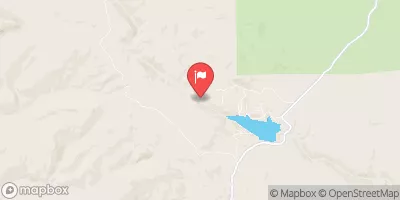
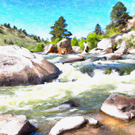 Paint Rock Creek (South Fork)
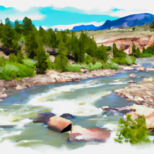 Laddie Creek
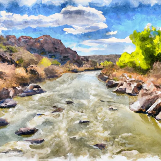 Paint Rock Creek