2026-02-17T17:00:00-07:00
* WHAT...Southwest winds 30 to 40 mph with gusts up to 65 mph expected. * WHERE...Lander Foothills, Upper Wind River Basin, Wind River Basin, Northeast Johnson County, Southeast Johnson County, and Cody Foothills. * WHEN...Until 5 PM MST Tuesday. * IMPACTS... Travel will be difficult, especially for high profile vehicles.
Summary
The ideal streamflow range for the river is between 800 and 3000 cfs, which typically occurs in the spring and early summer. The river is rated as a Class III-IV, providing exciting rapids for experienced rafters.
The segment mileage for the South Fork Shoshone River is approximately 20 miles, with the river flowing through scenic canyons and valleys. Some notable rapids and obstacles on the river include the "Three Bears" rapids, "Deadman's Corner," and the "Picket Fence" rapid. These obstacles provide thrilling experiences for those seeking adventure on the river.
Specific regulations to the area include permits and fees required for commercial outfitters operating on the river. Additionally, all boaters are required to have personal flotation devices and other safety equipment, as well as following Leave No Trace principles to minimize environmental impact.
°F
°F
mph
Wind
%
Humidity
15-Day Weather Outlook
River Run Details
| Last Updated | 2025-06-28 |
| River Levels | 3720 cfs (7.84 ft) |
| Percent of Normal | 48% |
| Status | |
| Class Level | iii-iv |
| Elevation | ft |
| Streamflow Discharge | cfs |
| Gauge Height | ft |
| Reporting Streamgage | USGS 06281000 |
5-Day Hourly Forecast Detail
Nearby Streamflow Levels
Area Campgrounds
| Location | Reservations | Toilets |
|---|---|---|
 Buffalo Bill State Park
|
||
 W.O.W. cottage 3Bed 2Bath
|
||
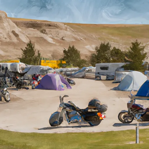 Wheels of Wonderment Motorcycle Campground
|


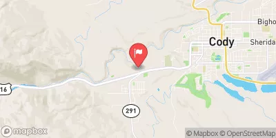
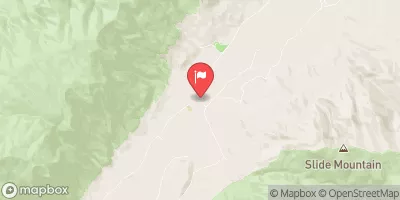
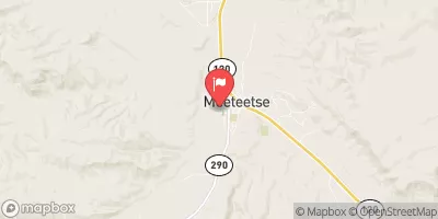
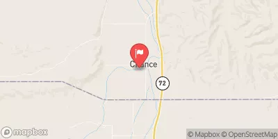
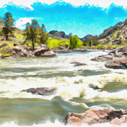 South Fork Shoshone River
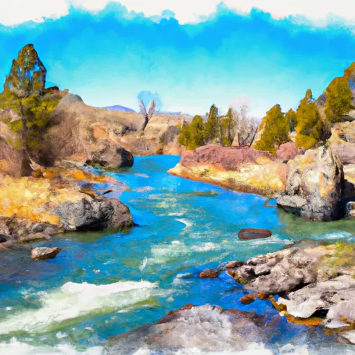 North Fork Shoshone River