Summary
The river obstacles include Class III rapids, rocks, and narrow channels. The river run difficulty is moderate to difficult, making it suitable for experienced rafters and kayakers. The best time to float this section of water is during the summer months when the CFS (cubic feet per second) is between 2,000 and 8,000. Rafters and kayakers should expect to encounter fast-moving water, steep drops, and turbulent waves. Overall, this section of water offers an exciting and memorable adventure for experienced river enthusiasts.
°F
°F
mph
Wind
%
Humidity
15-Day Weather Outlook
River Run Details
| Last Updated | 2023-06-13 |
| River Levels | 817 cfs (8.79 ft) |
| Percent of Normal | 58% |
| Optimal Range | 4000-23000 cfs |
| Status | Too Low |
| Class Level | I to II |
| Elevation | 6,443 ft |
| Run Length | 9.5 Mi |
| Gradient | 10 FPM |
| Streamflow Discharge | 660 cfs |
| Gauge Height | 8.7 ft |
| Reporting Streamgage | USGS 13013650 |
5-Day Hourly Forecast Detail
Nearby Streamflow Levels
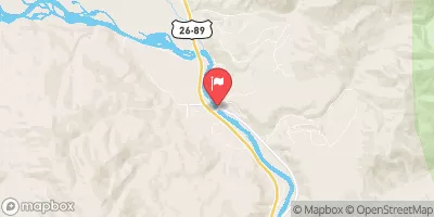 Snake River Bl Flat Creek Nr Jackson Wy
|
1080cfs |
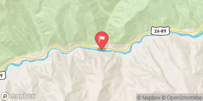 Snake River Ab Reservoir Nr Alpine Wy
|
2630cfs |
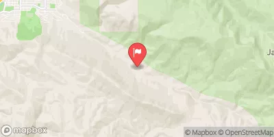 Cache Creek Near Jackson
|
12cfs |
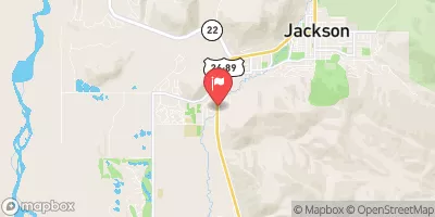 Flat Creek Bel Cache Creek
|
108cfs |
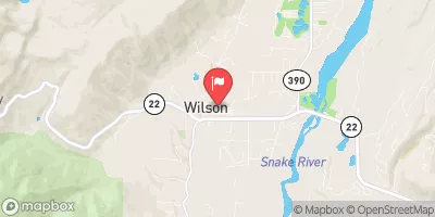 Fish Creek At Wilson
|
40cfs |
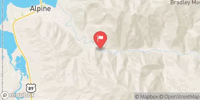 Greys River Ab Reservoir Nr Alpine Wy
|
296cfs |
Area Campgrounds
| Location | Reservations | Toilets |
|---|---|---|
 Cabin Creek
|
||
 Camp Creek Camping and Cabins
|
||
 Elbow
Elbow
|
||
 East Table Campground
|
||
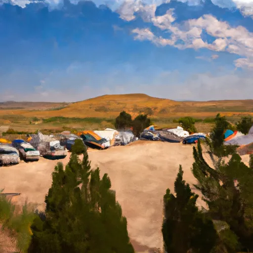 East Table Group Campground
|
||
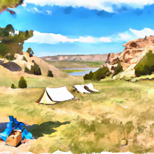 East Table Creek
|


 King's Wave Kayak Access
 Astoria to West Table
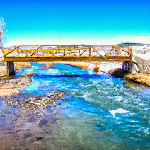 South Park Bridge To 1 Mile Downstream From Astoria Hot Springs (North Section Line Of Sec 5, T38N, R116W)
 1st Gorge Lime
 Alpine Canyon (West Table to Sheep Gulch)
 Narrows
 Hoback Canyon
 Powderhorn Park
 Phil Baux Park
 Mateosky Park
 Mike Yokel Park
 Karns Meadow Park