Summary
The difficulty level is moderate, with some technical maneuvering required in certain sections. The best time to float this section is in late spring or early summer when water levels are higher, with recommended flows of at least 400 cfs. It is important to scout ahead and navigate cautiously around obstacles to ensure a safe and enjoyable trip.
°F
°F
mph
Wind
%
Humidity
15-Day Weather Outlook
River Run Details
| Last Updated | 2023-06-13 |
| River Levels | 350 cfs (1.62 ft) |
| Percent of Normal | 97% |
| Optimal Range | 520-5500 cfs |
| Status | Too Low |
| Class Level | III+ to V- |
| Elevation | 5,704 ft |
| Run Length | 2.5 Mi |
| Gradient | 55 FPM |
| Streamflow Discharge | 296 cfs |
| Gauge Height | 1.3 ft |
| Reporting Streamgage | USGS 13023000 |
5-Day Hourly Forecast Detail
Nearby Streamflow Levels
 Greys River Ab Reservoir Nr Alpine Wy
|
296cfs |
 Snake River Ab Reservoir Nr Alpine Wy
|
2630cfs |
 Salt River Ab Reservoir Nr Etna Wy
|
435cfs |
 Snake River Bl Flat Creek Nr Jackson Wy
|
1140cfs |
 Snake River Nr Irwin Id
|
912cfs |
 Flat Creek Bel Cache Creek
|
108cfs |
Area Campgrounds
| Location | Reservations | Toilets |
|---|---|---|
 Little Cottonwood Group Campground
|
||
 Lynx Creek
|
||
 Alpine North Loop
|
||
 Alpine North Loop Campground
|
||
 Station Creek Campground
|
||
 Station Creek
|


 Sheep Gulch Boating Site
 Lower Greys (Squaw Creek to Bridge Campground)
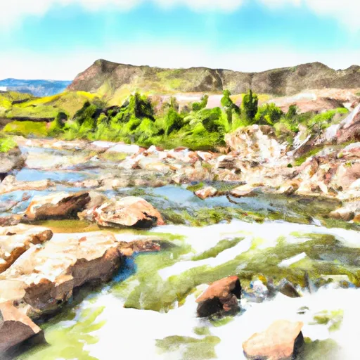 Kinney Creek To Nf Boundary/Palisades Reservoir
 Narrows
 Upper Greys (Lynx Creek to Little Greys)
 Alpine Canyon (West Table to Sheep Gulch)
 Upper Greys (Murphy Creek Bridge to Lynx Creek Campground)