Wilderness Sycamore Canyon
Community Reviews
Been here? Share the conditions.
Reviews, ratings & photos are added in the free Snoflo iOS app — rate a spot, tag the conditions, and your visit is verified by location. Add or manage your reviews from the app.

Wilderness Sycamore Canyon
Reasons to Visit:
1. Scenic Beauty: Sycamore Canyon boasts breathtaking landscapes, with its deep canyons, towering cliffs, lush forests, and meandering streams. The rugged beauty of this wilderness offers an ideal escape for nature lovers and outdoor enthusiasts.
2. Biodiversity: The area is home to a diverse range of plants, animals, and bird species. Visitors can witness a variety of ecosystems, from desert scrubland to ponderosa pine forests, making it a haven for nature enthusiasts and wildlife photographers.
3. Recreational Activities: Sycamore Canyon Wilderness offers a plethora of recreational activities, including camping, hiking, backpacking, birdwatching, wildlife viewing, and horseback riding. The well-maintained trails cater to both novice and experienced adventurers, providing opportunities for exploration and adventure.
Points of Interest:
1. Parsons Trail: This popular hiking trail leads visitors through a scenic canyon, past vibrant red rock formations, and along the banks of the sparkling Verde River, providing ample opportunities to enjoy the stunning natural scenery.
2. Sycamore Rim Trail: This 11-mile loop trail offers panoramic views of the canyon, taking hikers through lush forests and along the canyon rim. It is considered one of the best trails in the area, providing a fantastic experience for outdoor enthusiasts.
3. Waterfalls: Sycamore Canyon features several beautiful waterfalls, such as Tule Creek Falls and Paradise Forks. These cascades offer a refreshing retreat during warmer months and create picturesque settings for photographers.
Interesting Facts:
1. Sycamore Canyon Wilderness spans over 56,000 acres, making it the second-largest wilderness area in Arizona.
2. The canyon is named after the Arizona Sycamore (Platanus wrightii), a magnificent tree species found abundantly along the canyon's streams and waterways.
3. Archaeological evidence suggests that various Native American cultures, including the Sinagua and Yavapai tribes, inhabited the area in ancient times.
Best Time to Visit:
The optimal time to visit Wilderness Sycamore Canyon is during the spring and fall seasons. Spring (March to May) provides pleasant temperatures, blooming wildflowers, and flowing streams. Fall (September to November) offers cooler temperatures and vibrant autumn colors, transforming the canyon into a picturesque wonderland. Summers can be hot, and winters may bring snowfall, limiting some recreational activities.
It is always recommended to check with local authorities or visitor centers for the most up-to-date information and any specific regulations before planning a visit to ensure a safe and enjoyable experience in Wilderness Sycamore Canyon, Arizona.
Trails in Wilderness Sycamore Canyon
Named trails whose route falls inside the park.
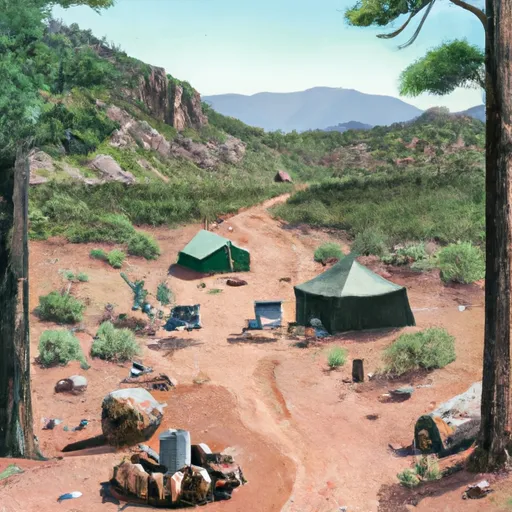
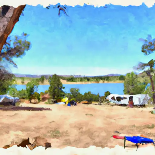
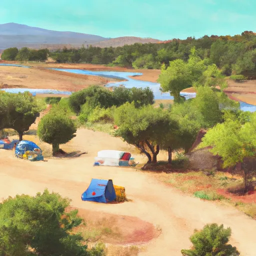
Camping in Wilderness Sycamore Canyon
Campgrounds inside the park, with today's conditions score.
Plan your visit down to the hour
Same weather feed Snoflo's iOS app uses -- updated continuously from NOAA / yr.no.
Next 5 days, hour by hour
Temperature line with weather symbols on top, snow + rain accumulation as columns, humidity as a dotted line.
5-day forecast table
Every 3 hours, broken out across temperature, snow, rain, humidity, and wind.
| Time | Condition | Temp (°F) | Snow (in) | Rain (in) | Humidity (%) | Wind (mps) | Wind dir |
|---|---|---|---|---|---|---|---|
| Loading detailed forecast… | |||||||
15-day temperature & precipitation
Daily temperatures, snow, and rain projected over the next two weeks.
Responsible recreation & Leave No Trace
- Know before you go
- Check the operator's site for hours, permit requirements, seasonal closures, and fire restrictions before heading out.
- Stay on trail
- Stick to marked paths to protect vegetation, prevent erosion, and avoid disturbing wildlife habitat.
- Respect wildlife
- Observe from a distance, never feed wildlife, and store food securely if camping is permitted on-site.
- Pack it in, pack it out
- Carry out all trash, food scraps, and gear. Many parks have limited or no trash service.
- Leave what you find
- Don't take rocks, plants, or artifacts. They make the park what it is for the next visitor.
Set push alerts in the Snoflo app
Save Wilderness Sycamore Canyon as a favorite, set a custom threshold (precipitation, freezing temperatures, fire-restriction days), and the iOS app will push the moment conditions cross.
About Wilderness Sycamore Canyon
What can I do at Wilderness Sycamore Canyon?
Most Snoflo-tracked parks support hiking, picnicking, and wildlife viewing. Check the operator's site for activity-specific rules (camping, fishing, paddling, hunting).
How fresh is the weather data?
The hourly forecast updates throughout the day from NOAA / yr.no. Streamflow comes live from USGS streamgauges.
When is the best time to visit?
Use the 15-day temperature & precipitation outlook on this page to plan -- pick a window with comfortable temperatures and low precipitation.
How do I get to Wilderness Sycamore Canyon?
Tap Directions in the hero above to open driving directions in Google Maps, or Open in map to center the Snoflo interactive map on the park.
Can I get alerts when conditions change?
Yes -- alerts are managed in the Snoflo iOS app. Favorite this park, set a threshold (temperature, precipitation), and you'll get a push the moment it crosses.
Park & land designation reference
A quick legend for the federal and state land categories Snoflo tracks. Each designation comes with different rules around access, recreation, and resource extraction.
- National Park
- Large protected natural areas managed by the federal government to preserve significant landscapes, ecosystems, and cultural resources; recreation is allowed but conservation is the priority.
- State Park
- Public natural or recreational areas managed by a state government, typically smaller than national parks and focused on regional natural features, recreation, and education.
- Local Park
- Community-level parks managed by cities or counties, emphasizing recreation, playgrounds, sports, and green space close to populated areas.
- Wilderness Area
- The highest level of land protection in the U.S.; designated areas where nature is left essentially untouched, with no roads, structures, or motorized motorized access permitted.
- National Recreation Area
- Areas set aside primarily for outdoor recreation (boating, hiking, fishing, often around reservoirs, rivers, or scenic landscapes); may allow more development.
- National Conservation Area (BLM)
- BLM-managed areas with special ecological, cultural, or scientific value; more protection than typical BLM land but less strict than Wilderness Areas.
- State Forest
- State-managed forests focused on habitat, watershed, recreation, and sustainable timber harvest.
- Bureau of Land Management (BLM) Land
- Vast federal lands managed for mixed use -- recreation, grazing, mining, conservation -- with fewer restrictions than national parks or forests.