Summary
It is a single lane ramp with a moderate slope that leads into a relatively shallow body of water. The width of the boat ramp is not specified in the available information.
This boat ramp services Huntington Lake, which is situated in the Sierra Nevada Mountains at an altitude of 7,000 feet. Huntington Lake is a popular destination for recreational boating and fishing, particularly for trout. The lake has a surface area of 1,435 acres and a maximum depth of 200 feet.
The kind of craft that are permitted on Huntington Lake include motorized boats, kayaks, canoes, sailboats, and watercraft with electric motors. There are restrictions on the size and horsepower of motorized boats that can be used on the lake, with a maximum length of 21 feet and a maximum horsepower of 40. Additionally, there are regulations in place regarding boating safety and the use of personal flotation devices.
This information is based on the latest available sources and may be subject to change. It is advisable to consult local authorities or official sources for up-to-date and accurate information regarding boat ramps and waterways in California.
°F
°F
mph
Wind
%
Humidity

 Huntington Boat Ramp & Launching Site
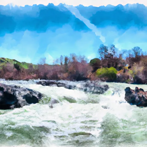 Confluence With North Fork San Joaquin River To Hells Half Acre
 Beryl Lake
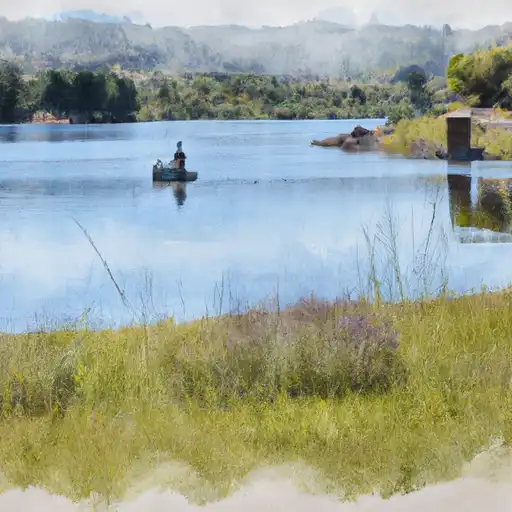 Mallard Lake
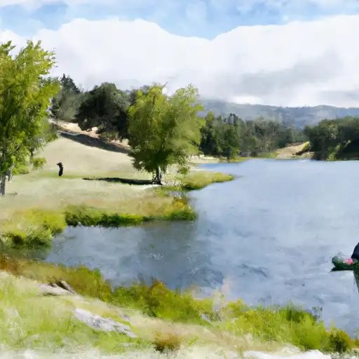 Corbett Lake
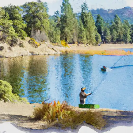 Mystery Lake
 Fish Creek