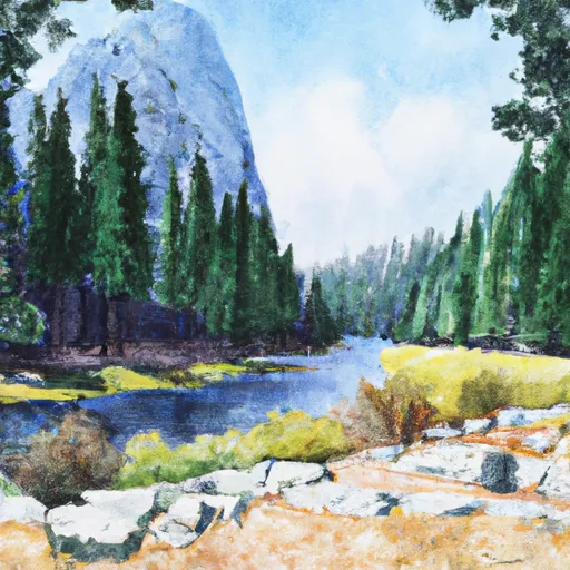
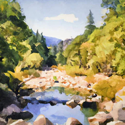
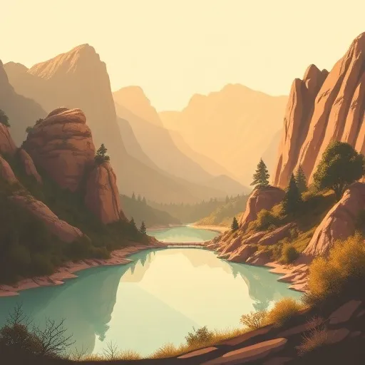
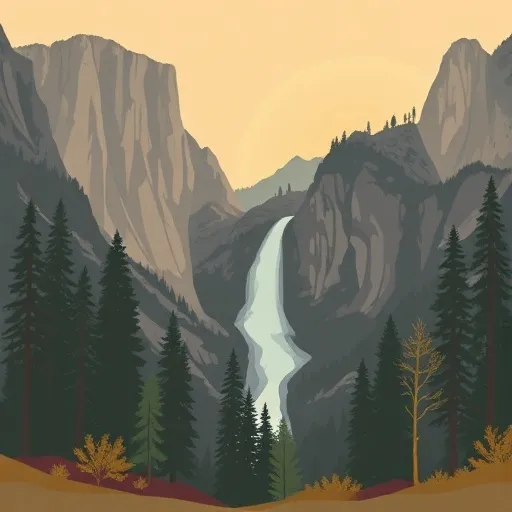
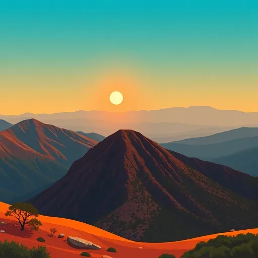
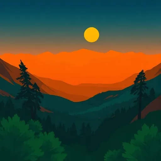
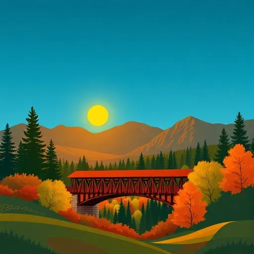
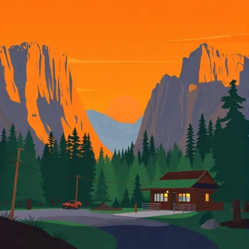
Yosemite National Park
Community Reviews
Been here? Share the conditions.
Reviews, ratings & photos are added in the free Snoflo iOS app — rate a spot, tag the conditions, and your visit is verified by location. Add or manage your reviews from the app.

Yosemite National Park
Reasons to Visit:
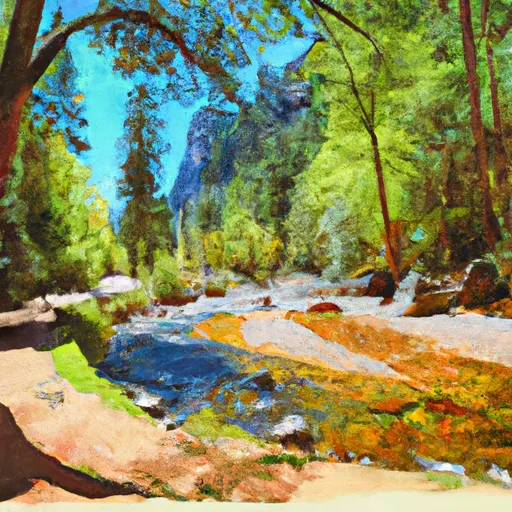
1. Spectacular Scenery: Yosemite is famous for its awe-inspiring granite cliffs, towering waterfalls, pristine meadows, and ancient sequoia groves. The park's diverse terrain provides countless opportunities for hiking, rock climbing, and photography.
2. Iconic Landmarks: Yosemite boasts several iconic landmarks, such as El Capitan, a prominent granite monolith popular among rock climbers, and Half Dome, a distinctive rock formation and hiking challenge.
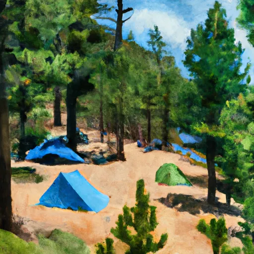
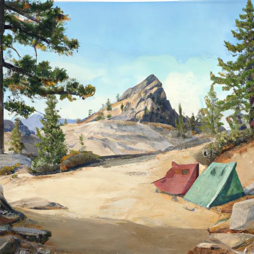
3. Outdoor Activities: Outdoor enthusiasts can indulge in activities like camping, backpacking, fishing, horseback riding, rafting, and even skiing or snowshoeing in the winter months.
4. Diverse Wildlife: Yosemite is home to a wide range of wildlife, including black bears, bobcats, mountain lions, mule deer, and various bird species. Wildlife enthusiasts will have ample opportunities to observe and photograph these magnificent creatures.
5. Conservation and Preservation: Yosemite has a rich history of conservation. With its diverse ecosystems, the park plays a vital role in the preservation of endangered species and the protection of natural resources.
Points of Interest:
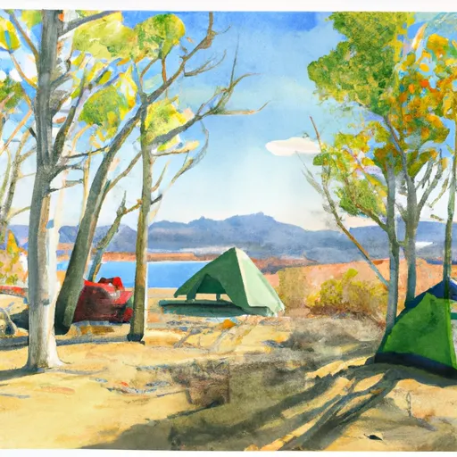
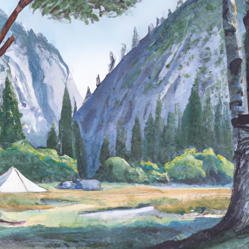
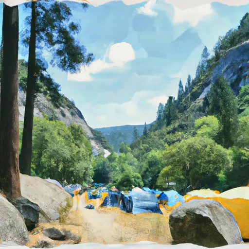
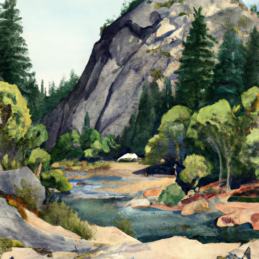
1. Yosemite Valley: The park's most popular destination, Yosemite Valley, offers stunning views of waterfalls, towering cliffs, and lush meadows. It is also home to several campgrounds, visitor centers, and the iconic Ahwahnee Hotel.
2. Mariposa Grove: This grove contains over 500 mature giant sequoias, including the famous Grizzly Giant, one of the largest trees on Earth.
3. Glacier Point: Located on a granite cliff, Glacier Point provides breathtaking panoramic views of Yosemite Valley, Half Dome, and Yosemite's high country. It is accessible by car during the summer months and by cross-country skiing or snowshoeing in winter.
4. Tuolumne Meadows: Situated at an elevation of 8,600 feet (2,600 meters), Tuolumne Meadows is a picturesque subalpine meadow surrounded by granite peaks and pristine lakes. It offers excellent hiking and camping opportunities.
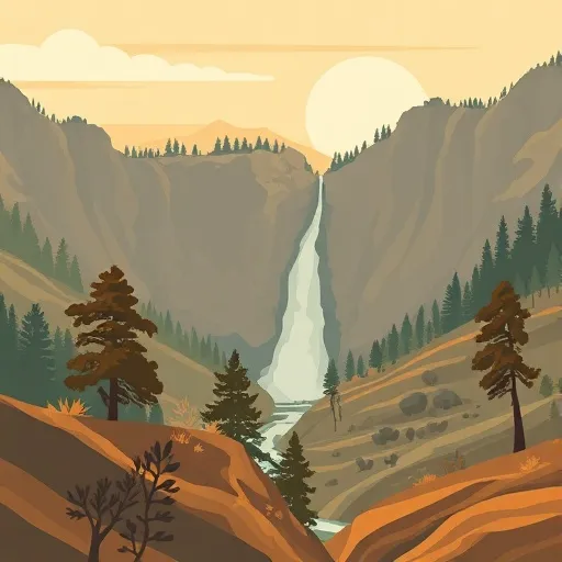
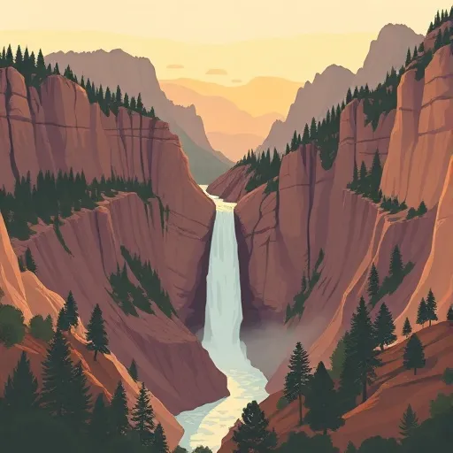
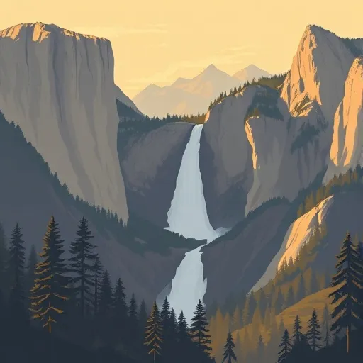
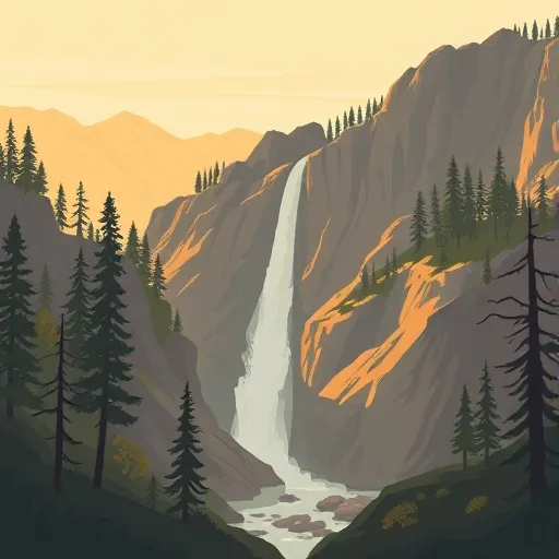
5. Bridalveil Fall: One of the park's most famous waterfalls, Bridalveil Fall cascades nearly 620 feet (188 meters) into Yosemite Valley. It is easily accessible and offers a beautiful sight.
Interesting Facts:
1. Yosemite National Park covers an area of approximately 748,436 acres (3,027 square kilometers).
2. The park was established on October 1, 1890, making it one of the oldest national parks in the United States.
3. Yosemite Valley was carved by glaciers that sculpted the landscape over millions of years.
4. The tallest waterfall in North America, Yosemite Falls, can be found in the park, with a total drop of 2,425 feet (739 meters).
5. Ansel Adams, the renowned photographer, captured many iconic black and white images of Yosemite, helping to bring its beauty to a wider audience.
Best Time to Visit:
The best time to visit Yosemite National Park largely depends on personal preferences. The summer months (June to August) offer mild temperatures and access to higher elevation areas. However, the park can be crowded during this time. Spring (April to June) offers blooming wildflowers and fewer crowds, while autumn (September to October) provides beautiful fall foliage. Winter (December to March) brings a snowy wonderland, making it ideal for winter sports enthusiasts. It is essential to check road and trail conditions, as accessibility may vary during different seasons.
Remember to verify this information across multiple independent sources to ensure accuracy and to consider current park regulations and conditions when planning a visit to Yosemite National Park.
Streamflow in Yosemite National Park
Live USGS discharge at streamgauges inside the park boundary.
Snowpack in Yosemite National Park
Current snow depth at SNOTEL stations inside the park boundary.
Trails in Yosemite National Park
Named trails whose route falls inside the park.
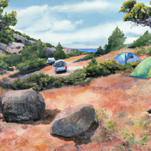
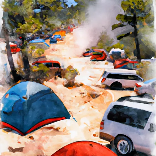
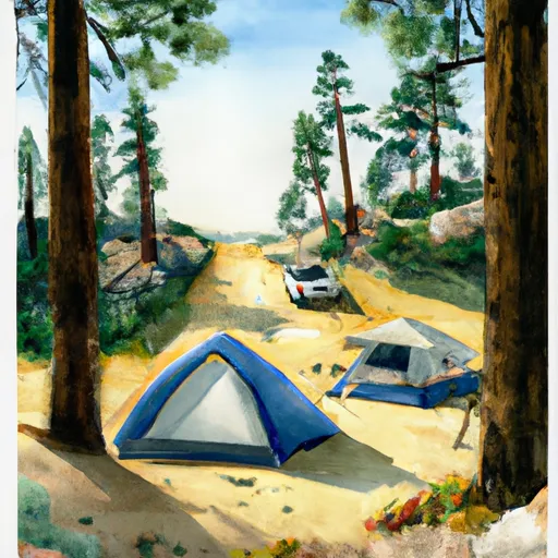
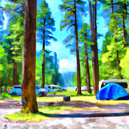
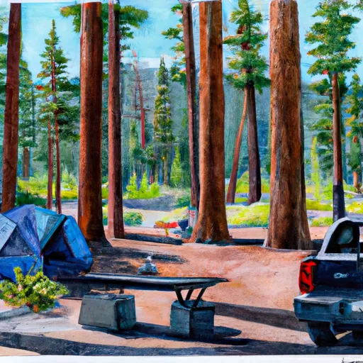
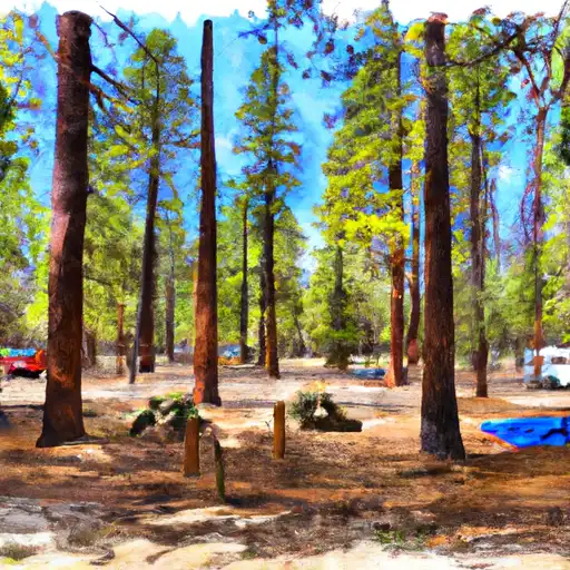
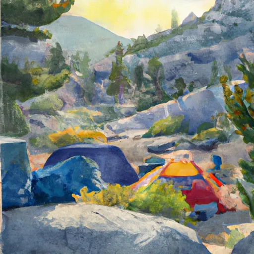
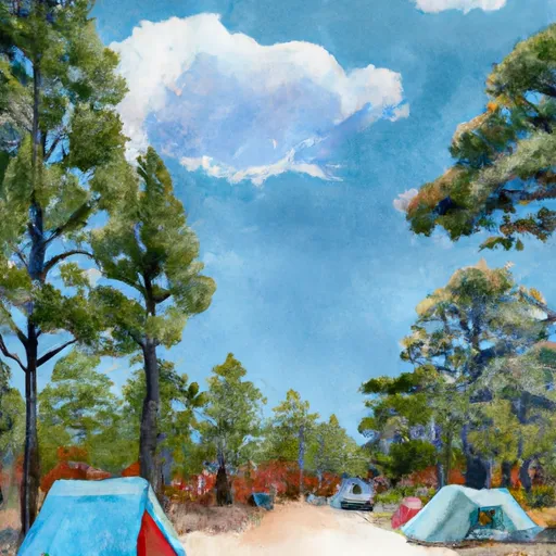
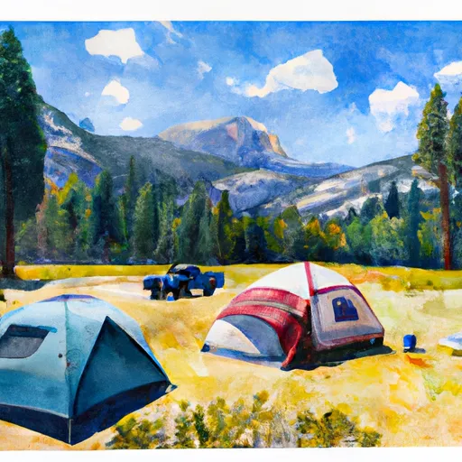
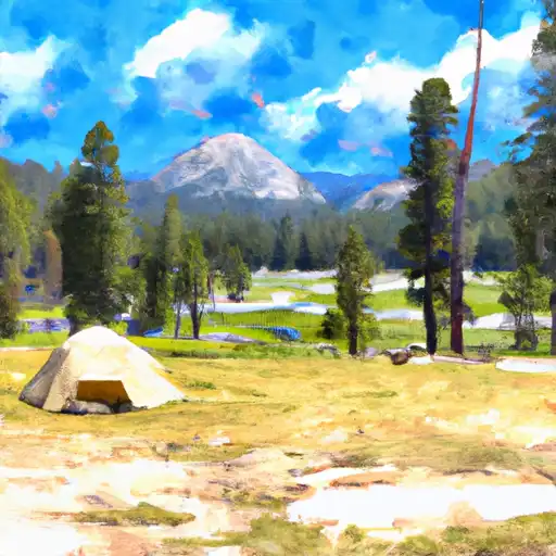
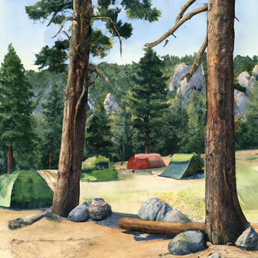
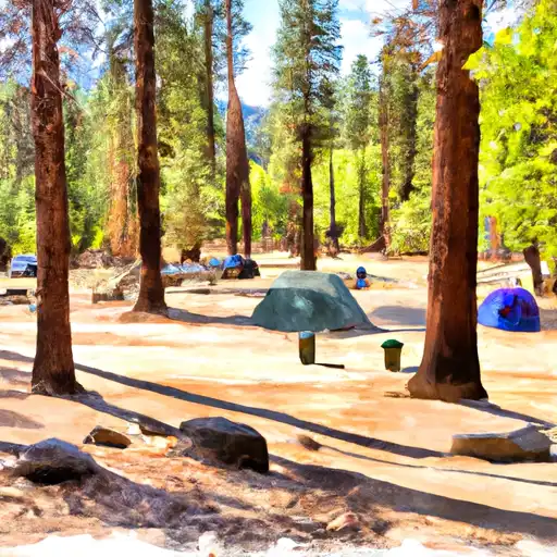
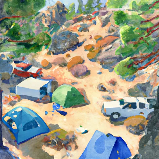
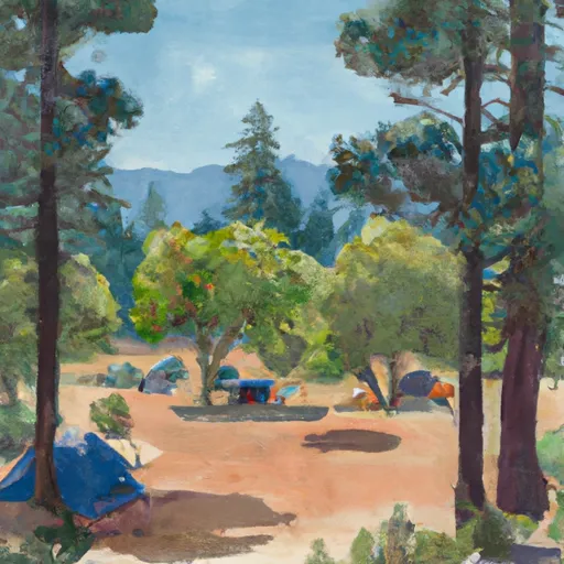
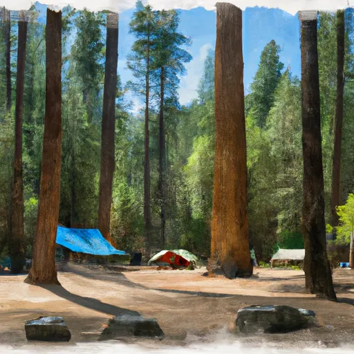
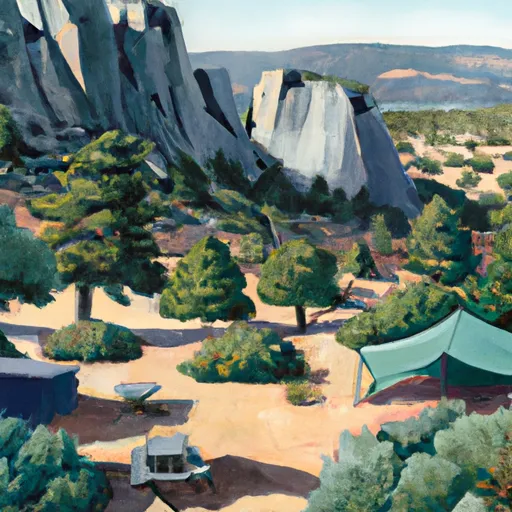
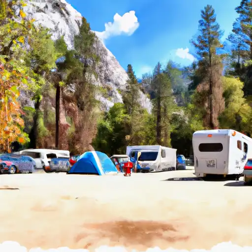
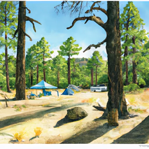
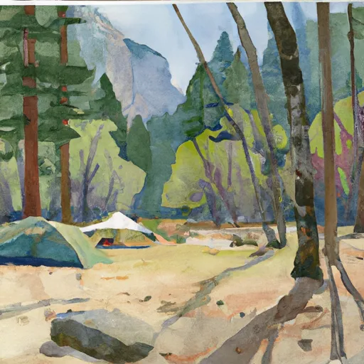
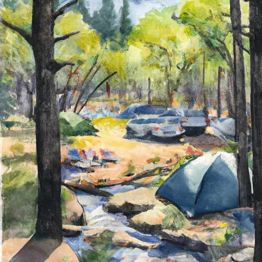
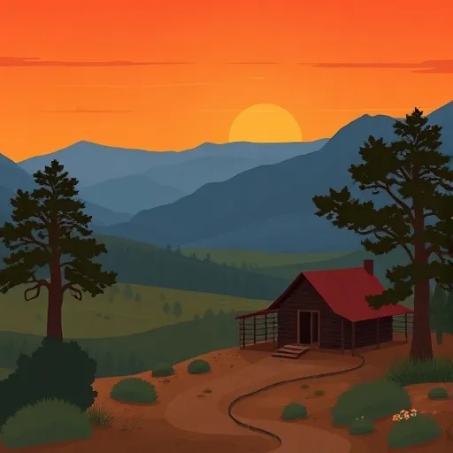
Camping in Yosemite National Park
Campgrounds inside the park, with today's conditions score.


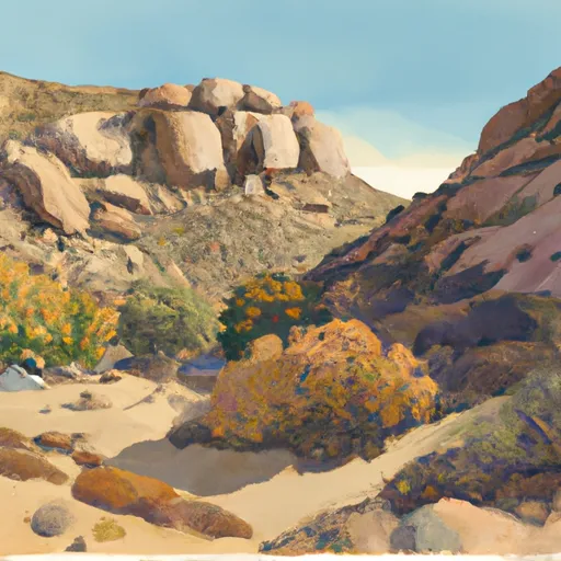

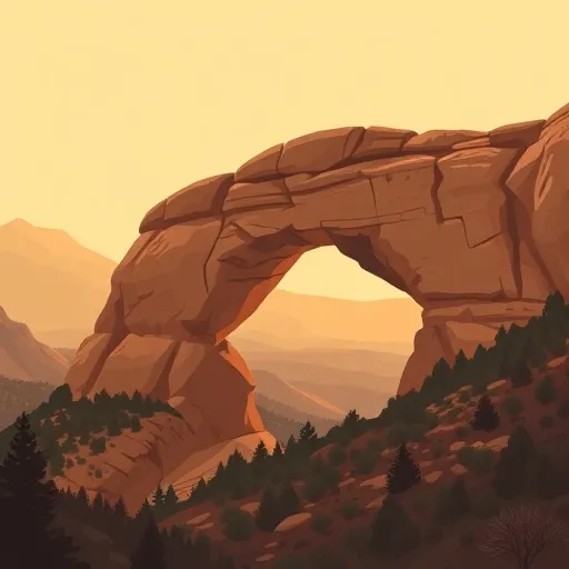
Points of interest in Yosemite National Park
Landmarks and points of interest inside the park boundary.


Plan your visit down to the hour
Same weather feed Snoflo's iOS app uses -- updated continuously from NOAA / yr.no.
Next 5 days, hour by hour
Temperature line with weather symbols on top, snow + rain accumulation as columns, humidity as a dotted line.
5-day forecast table
Every 3 hours, broken out across temperature, snow, rain, humidity, and wind.
| Time | Condition | Temp (°F) | Snow (in) | Rain (in) | Humidity (%) | Wind (mps) | Wind dir |
|---|---|---|---|---|---|---|---|
| Loading detailed forecast… | |||||||
15-day temperature & precipitation
Daily temperatures, snow, and rain projected over the next two weeks.
Responsible recreation & Leave No Trace
- Know before you go
- Check the operator's site for hours, permit requirements, seasonal closures, and fire restrictions before heading out.
- Stay on trail
- Stick to marked paths to protect vegetation, prevent erosion, and avoid disturbing wildlife habitat.
- Respect wildlife
- Observe from a distance, never feed wildlife, and store food securely if camping is permitted on-site.
- Pack it in, pack it out
- Carry out all trash, food scraps, and gear. Many parks have limited or no trash service.
- Leave what you find
- Don't take rocks, plants, or artifacts. They make the park what it is for the next visitor.
Set push alerts in the Snoflo app
Save Yosemite National Park as a favorite, set a custom threshold (precipitation, freezing temperatures, fire-restriction days), and the iOS app will push the moment conditions cross.
About Yosemite National Park
What can I do at Yosemite National Park?
Most Snoflo-tracked parks support hiking, picnicking, and wildlife viewing. Check the operator's site for activity-specific rules (camping, fishing, paddling, hunting).
How fresh is the weather data?
The hourly forecast updates throughout the day from NOAA / yr.no. Streamflow comes live from USGS streamgauges.
When is the best time to visit?
Use the 15-day temperature & precipitation outlook on this page to plan -- pick a window with comfortable temperatures and low precipitation.
How do I get to Yosemite National Park?
Tap Directions in the hero above to open driving directions in Google Maps, or Open in map to center the Snoflo interactive map on the park.
Can I get alerts when conditions change?
Yes -- alerts are managed in the Snoflo iOS app. Favorite this park, set a threshold (temperature, precipitation), and you'll get a push the moment it crosses.
Park & land designation reference
A quick legend for the federal and state land categories Snoflo tracks. Each designation comes with different rules around access, recreation, and resource extraction.
- National Park
- Large protected natural areas managed by the federal government to preserve significant landscapes, ecosystems, and cultural resources; recreation is allowed but conservation is the priority.
- State Park
- Public natural or recreational areas managed by a state government, typically smaller than national parks and focused on regional natural features, recreation, and education.
- Local Park
- Community-level parks managed by cities or counties, emphasizing recreation, playgrounds, sports, and green space close to populated areas.
- Wilderness Area
- The highest level of land protection in the U.S.; designated areas where nature is left essentially untouched, with no roads, structures, or motorized motorized access permitted.
- National Recreation Area
- Areas set aside primarily for outdoor recreation (boating, hiking, fishing, often around reservoirs, rivers, or scenic landscapes); may allow more development.
- National Conservation Area (BLM)
- BLM-managed areas with special ecological, cultural, or scientific value; more protection than typical BLM land but less strict than Wilderness Areas.
- State Forest
- State-managed forests focused on habitat, watershed, recreation, and sustainable timber harvest.
- Bureau of Land Management (BLM) Land
- Vast federal lands managed for mixed use -- recreation, grazing, mining, conservation -- with fewer restrictions than national parks or forests.