Wilderness Indian Peaks
Community Reviews
Been here? Share the conditions.
Reviews, ratings & photos are added in the free Snoflo iOS app — rate a spot, tag the conditions, and your visit is verified by location. Add or manage your reviews from the app.

Wilderness Indian Peaks
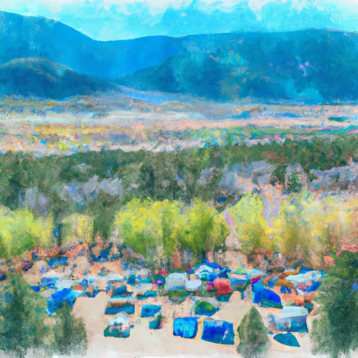
One of the main reasons to visit the Wilderness Indian Peaks is its stunning alpine scenery. The area is home to jagged peaks, pristine alpine lakes, and lush meadows, providing a picturesque backdrop for outdoor adventures. Hiking is a popular activity here, with numerous trails offering varying difficulty levels and distances. The Continental Divide Trail passes through the wilderness area, offering an opportunity for long-distance backpacking.
There are several points of interest that are worth exploring within the Wilderness Indian Peaks. Lake Isabelle is a must-see destination, known for its crystal-clear waters surrounded by towering mountains. The Pawnee Pass and Buchanan Pass trails provide breathtaking views and lead hikers through alpine tundra. Blue Lake and Ouzel Lake are also notable attractions, offering serene settings for picnicking or fishing.
Interesting facts about the Wilderness Indian Peaks include its rich wildlife diversity. Visitors may spot mule deer, elk, bighorn sheep, black bears, and even the elusive mountain lion. The area is also home to over 350 species of wildflowers, making it a paradise for botany enthusiasts.
The best time to visit the Wilderness Indian Peaks depends on personal preferences and activities. Summer, from June to August, is the most popular time due to warm temperatures, clear skies, and access to high alpine trails. However, it is also the busiest time, so visitors seeking solitude may prefer the shoulder seasons of spring (April to May) or fall (September to October). Winter offers a unique experience with snowshoeing and cross-country skiing opportunities, but access to some areas may be limited due to snowfall.
When seeking accuracy, it is always recommended to verify information across multiple independent sources, such as official government websites, travel guides, and local tourism bureaus, to ensure the most up-to-date and accurate information on visiting the Wilderness Indian Peaks.
Snowpack in Wilderness Indian Peaks
Current snow depth at SNOTEL stations inside the park boundary.
Trails in Wilderness Indian Peaks
Named trails whose route falls inside the park.
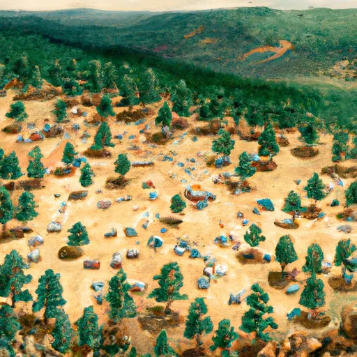
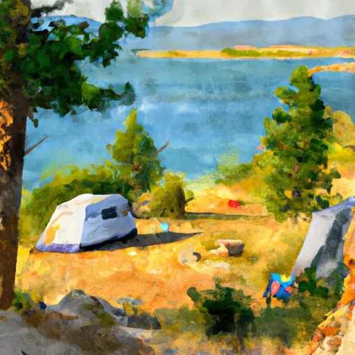
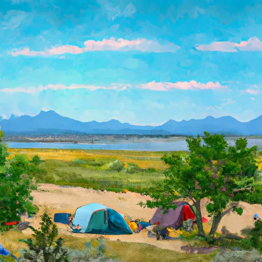
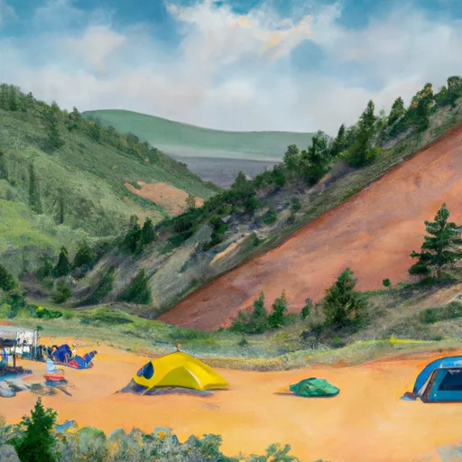
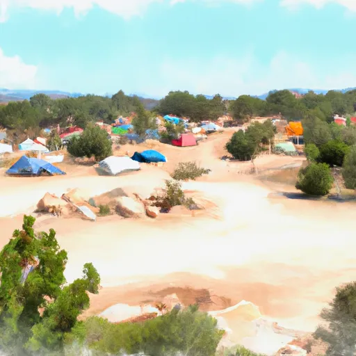
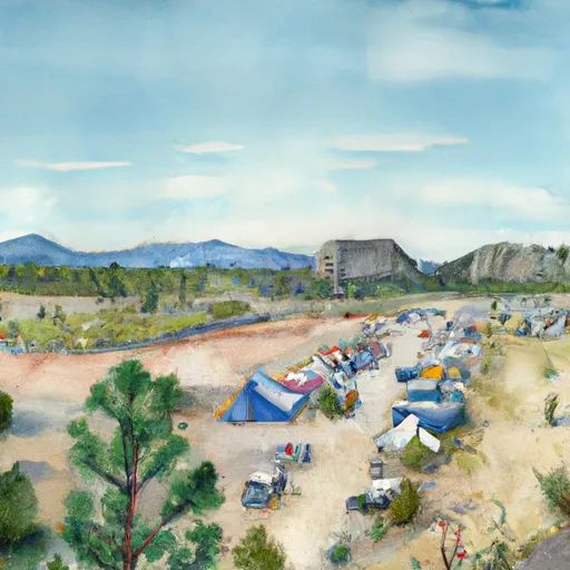
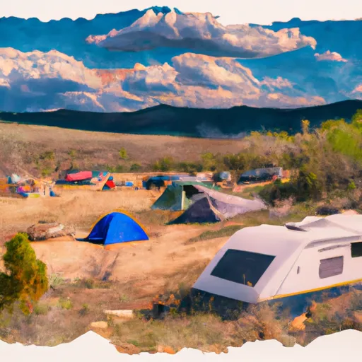
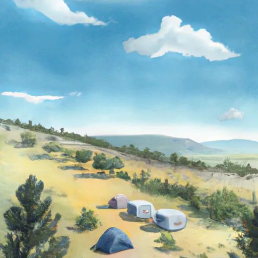
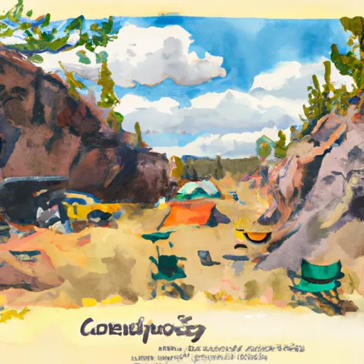
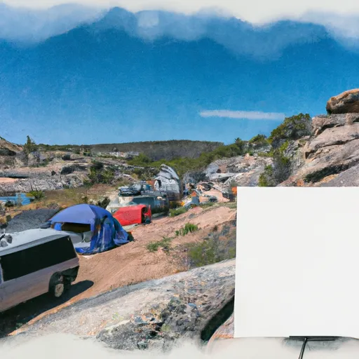
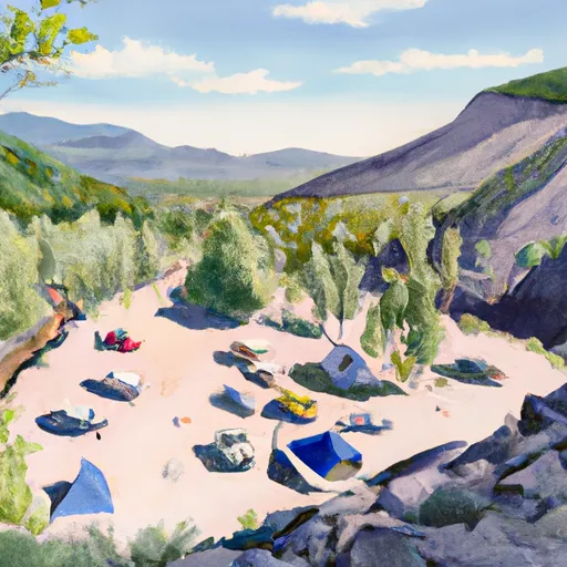
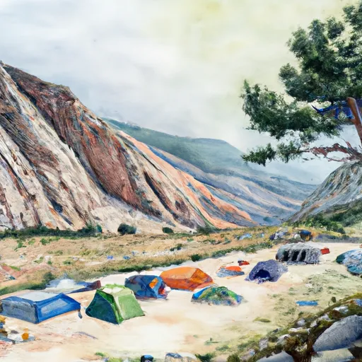
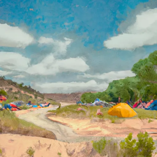
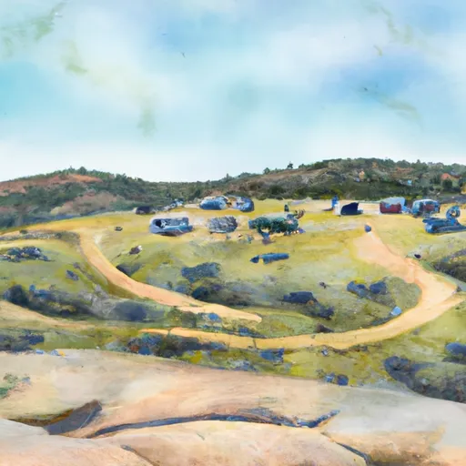
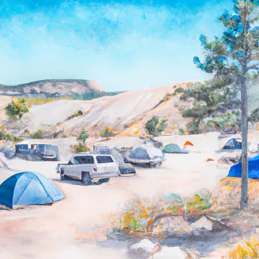
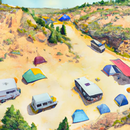
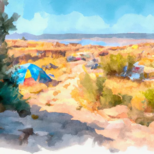
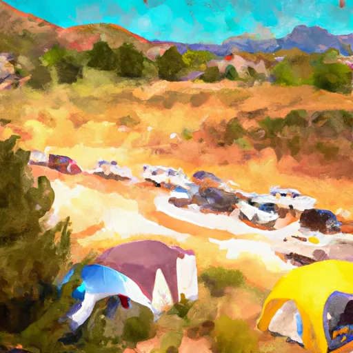
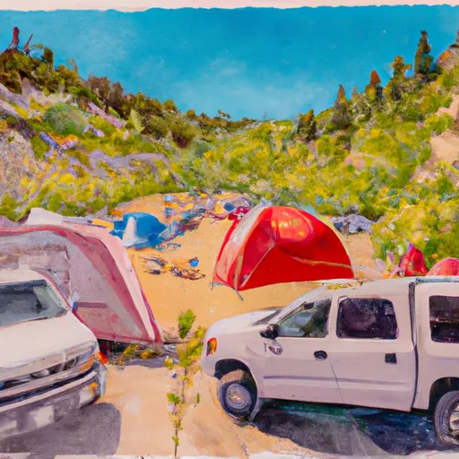
Camping in Wilderness Indian Peaks
Campgrounds inside the park, with today's conditions score.

Points of interest in Wilderness Indian Peaks
Landmarks and points of interest inside the park boundary.

Plan your visit down to the hour
Same weather feed Snoflo's iOS app uses -- updated continuously from NOAA / yr.no.
Next 5 days, hour by hour
Temperature line with weather symbols on top, snow + rain accumulation as columns, humidity as a dotted line.
5-day forecast table
Every 3 hours, broken out across temperature, snow, rain, humidity, and wind.
| Time | Condition | Temp (°F) | Snow (in) | Rain (in) | Humidity (%) | Wind (mps) | Wind dir |
|---|---|---|---|---|---|---|---|
| Loading detailed forecast… | |||||||
15-day temperature & precipitation
Daily temperatures, snow, and rain projected over the next two weeks.
Responsible recreation & Leave No Trace
- Know before you go
- Check the operator's site for hours, permit requirements, seasonal closures, and fire restrictions before heading out.
- Stay on trail
- Stick to marked paths to protect vegetation, prevent erosion, and avoid disturbing wildlife habitat.
- Respect wildlife
- Observe from a distance, never feed wildlife, and store food securely if camping is permitted on-site.
- Pack it in, pack it out
- Carry out all trash, food scraps, and gear. Many parks have limited or no trash service.
- Leave what you find
- Don't take rocks, plants, or artifacts. They make the park what it is for the next visitor.
Set push alerts in the Snoflo app
Save Wilderness Indian Peaks as a favorite, set a custom threshold (precipitation, freezing temperatures, fire-restriction days), and the iOS app will push the moment conditions cross.
About Wilderness Indian Peaks
What can I do at Wilderness Indian Peaks?
Most Snoflo-tracked parks support hiking, picnicking, and wildlife viewing. Check the operator's site for activity-specific rules (camping, fishing, paddling, hunting).
How fresh is the weather data?
The hourly forecast updates throughout the day from NOAA / yr.no. Streamflow comes live from USGS streamgauges.
When is the best time to visit?
Use the 15-day temperature & precipitation outlook on this page to plan -- pick a window with comfortable temperatures and low precipitation.
How do I get to Wilderness Indian Peaks?
Tap Directions in the hero above to open driving directions in Google Maps, or Open in map to center the Snoflo interactive map on the park.
Can I get alerts when conditions change?
Yes -- alerts are managed in the Snoflo iOS app. Favorite this park, set a threshold (temperature, precipitation), and you'll get a push the moment it crosses.
Park & land designation reference
A quick legend for the federal and state land categories Snoflo tracks. Each designation comes with different rules around access, recreation, and resource extraction.
- National Park
- Large protected natural areas managed by the federal government to preserve significant landscapes, ecosystems, and cultural resources; recreation is allowed but conservation is the priority.
- State Park
- Public natural or recreational areas managed by a state government, typically smaller than national parks and focused on regional natural features, recreation, and education.
- Local Park
- Community-level parks managed by cities or counties, emphasizing recreation, playgrounds, sports, and green space close to populated areas.
- Wilderness Area
- The highest level of land protection in the U.S.; designated areas where nature is left essentially untouched, with no roads, structures, or motorized motorized access permitted.
- National Recreation Area
- Areas set aside primarily for outdoor recreation (boating, hiking, fishing, often around reservoirs, rivers, or scenic landscapes); may allow more development.
- National Conservation Area (BLM)
- BLM-managed areas with special ecological, cultural, or scientific value; more protection than typical BLM land but less strict than Wilderness Areas.
- State Forest
- State-managed forests focused on habitat, watershed, recreation, and sustainable timber harvest.
- Bureau of Land Management (BLM) Land
- Vast federal lands managed for mixed use -- recreation, grazing, mining, conservation -- with fewer restrictions than national parks or forests.