TEAL BOAT RAMP

Species Weather Hydrology


FISHING COLORADO

Teal Boat Ramp


April 27, 2024

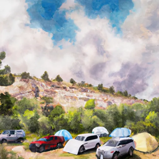
The Teal Boat Ramp fishing area is located in Colorado, USA and is a popular spot for fishing enthusiasts. The area is well-known for its diverse fish species, including rainbow trout, brown trout, cutthroat trout, and kokanee salmon.

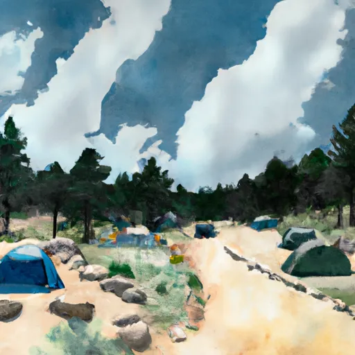
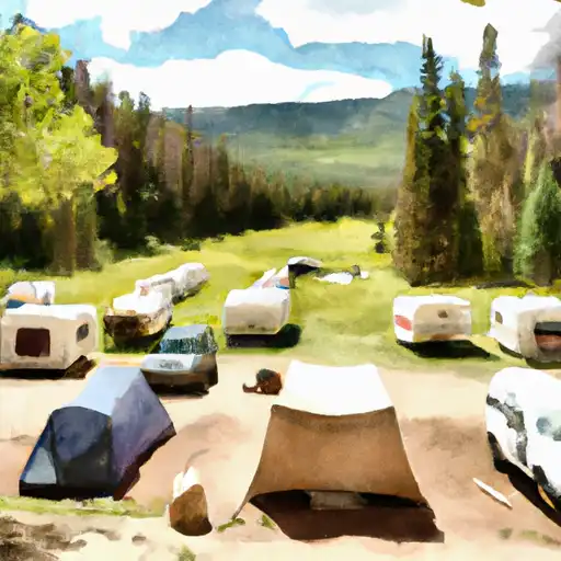
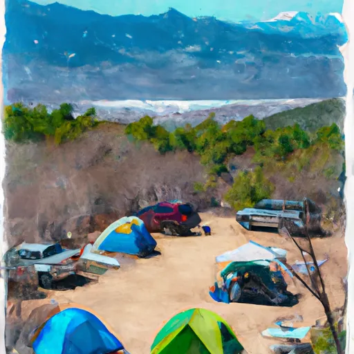
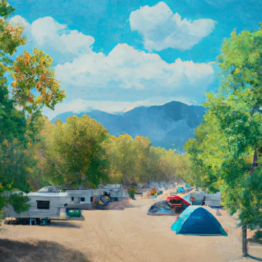
Nearby activities include hiking, camping, and birdwatching. Fishing in the area can be productive year-round, but the best time to visit is in the spring and fall when the water temperatures are cooler and the fish are more active. The average temperature during these times of year is around 50-60 degrees Fahrenheit.

For successful fishing in Teal Boat Ramp, it is recommended to use lures that imitate the natural prey of the fish species in the area. For example, using flies that mimic the insects that the trout feed on can be effective. It is also important to pay attention to the water temperature and adjust your fishing techniques accordingly.

Overall, Teal Boat Ramp is a great fishing destination for those looking to catch a variety of fish species in a beautiful Colorado setting.


Fish Species
Image Alt Apache Trout
Image Alt Atlantic Salmon
Image Alt Brown Trout
Image Alt Cutthroat Trout
Image Alt Rainbow Trout

Weather Outlook


16 Day Long Term Forecast

Seasonal Comparison


Historical Data


Area Boat Ramps

US 50 SAPINERO
Upper Gunnison Watershed, Colorado
CUTTER LAKE ACCESS ROAD SAN JUAN COUNTY
Blanco Canyon Watershed, New-Mexico
SILVER THREAD SCENIC BYWAY GUNNISON COUNTY
Upper Gunnison Watershed, Colorado
US 50 GUNNISON COUNTY
Upper Gunnison Watershed, Colorado
US 50 GUNNISON COUNTY
Upper Gunnison Watershed, Colorado
R 982 ARCHULETA COUNTY
Upper San Juan Watershed, Colorado
SILVER THREAD SCENIC BYWAY GUNNISON COUNTY
Upper Gunnison Watershed, Colorado
US 50 GUNNISON COUNTY
Upper Gunnison Watershed, Colorado
DILLON PINNACLES TRAIL GUNNISON COUNTY
Upper Gunnison Watershed, Colorado
CR 243 LA PLATA COUNTY
Animas Watershed, Colorado

Rafting & Kayaking

DEEP CREEK SEGMENT 2B
Colorado headwaters Watershed, Colorado
FLAT TOPS WILDERNESS BOUNDARY TO NF BOUNDARY
Upper White Watershed, Colorado
COLORADO RIVER SEGMENT 6
Colorado headwaters Watershed, Colorado
HEADWATERS AT DEEP LAKE OUTLET TO 1/4 MILE DOWNSTREAM
Colorado headwaters Watershed, Colorado
COLORADO RIVER SEGMENT 7
Colorado headwaters Watershed, Colorado
NF BOUNDARY TO EAST END OF GLENWOOD CANYON
Colorado headwaters Watershed, Colorado
DEEP CREEK DIVERSION DITCH TO BLM/PRIVATE LAND BOUNDARY
Colorado headwaters Watershed, Colorado
DEEP CREEK SEGMENT 3
Colorado headwaters Watershed, Colorado
1/4 MILE BELOW HEADWATERS TO DEEP CREEK DIVERSION DITCH
Colorado headwaters Watershed, Colorado
HEADWATERS TO FLAT TOPS WILDERNESS BOUNDARY
Upper White Watershed, Colorado

Parks & Recreation


Wilderness Maroon Bells-Snowmass

Olathe Community Park

Centennial Plaza

Wilderness Fossil Ridge

Curecanti National Recreation Area

White River National Forest

Wilderness Raggeds

Black Canyon of the Gunnison National Park

Rainbow Meadows

Paonia State Park


LAKE SAN CRISTOBAL OVERLOOK
The Lake San Cristobal Overlook is located in the Upper Gunnison watershed of Colorado, offering stunning views of the surrounding mountains and the picturesque Lake San Cristobal. Visitors can access ...
ROSE LIME KILN
The Rose Lime Kiln is a historic site located in the Upper Gunnison watershed of Colorado. This site was once used to produce lime during the late 1800s and early ...
ENGINEER PASS
The Engineer Pass is a 12,800 ft mountain pass in the Upper Gunnison watershed of Colorado, connecting the towns of Silverton and Lake City. It is a popular destination for ...
ROSES CABIN
Located in the Upper Gunnison watershed of Colorado, the Roses Cabin is a historic cabin that offers a unique and remote wilderness experience for visitors. The cabin is situated in ...
HENSON INTERPRETIVE SITE
The Henson Interpretive Site is located in the Upper Gunnison watershed of Colorado and is a popular destination for tourists and nature enthusiasts. It is a historic mining town that ...
BURROWS PARK INTERPRETIVE SITE
Burrows Park Interpretive Site is a popular tourist destination located in the Upper Gunnison watershed of Colorado. The site is known for its beautiful scenery, wildlife, and educational opportunities. The ...
CAPITOL CITY TOWNSITE
Capitol City is an abandoned mining town located in the upper Gunnison watershed of Colorado. The townsite was established in the late 1870s and was home to several mines, including ...
CAPITOL CITY CEMETARY
The Capitol City Cemetery is located in the Upper Gunnison watershed of Colorado and is known for its historical significance and unique layout. Established in the late 1800s, the cemetery ...
WHITMORE FALLS OVERLOOK
Whitmore Falls Overlook is a popular tourist destination located in the Upper Gunnison watershed of Colorado. The overlook is situated along the Kebler Pass Road which offers a scenic drive ...
UNCOMPAHGRE OVERLOOK
The Uncompahgre Overlook is a beautiful scenic viewpoint located in the Upper Gunnison watershed of Colorado. The overlook is situated at an elevation of 11,312 feet, providing visitors with a ...

Log Your Visit

When was your last visit to Teal Boat Ramp?

Add a Photo

How was it? How were conditions?

Rate the backcountry skiing


Submit

Leave A Review

Teal Boat Ramp

Submit

Upload an Image

Teal Boat Ramp

Favorite Limit Reached