Torreya State Park
Community Reviews
Been here? Share the conditions.
Reviews, ratings & photos are added in the free Snoflo iOS app — rate a spot, tag the conditions, and your visit is verified by location. Add or manage your reviews from the app.
Torreya State Park
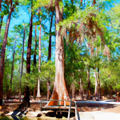
One compelling reason to visit Torreya State Park is its unique and diverse natural beauty. The park boasts a breathtaking landscape, with steep bluffs overlooking the Apalachicola River, deep ravines, and a dense forest of rare Torreya trees. These trees, after which the park is named, can only be found in this region and are some of the oldest and rarest tree species in the world.
The park also features several points of interest that are worth exploring. The Gregory House, a plantation home built in the 1840s, offers a glimpse into the area's rich history. Visitors can tour the house and learn about the life of the Gregory family and the impact of the Civil War on the region. Additionally, the park offers hiking trails that wind through the ravines and along the bluffs, providing breathtaking vistas and opportunities for birdwatching and wildlife spotting.
One interesting fact about Torreya State Park is that it was created during the Great Depression as part of the Civilian Conservation Corps (CCC) program. The CCC was a government initiative aimed at providing jobs to young men while also preserving natural resources. Many of the park's structures, such as the picnic pavilion and stone bridge, were built by CCC workers.
The best time to visit Torreya State Park is during the cooler months, from October to April. Summers in Florida can be hot and humid, so visiting during this time may be uncomfortable for some. The fall season offers pleasant temperatures and beautiful foliage, while spring brings blooming wildflowers and abundant wildlife. It's advisable to check the park's website or contact the park office for the most up-to-date information regarding park hours and potential closures.
To ensure accuracy, it is always recommended to verify this information by consulting multiple independent sources, such as the official Torreya State Park website, Florida State Parks official website, and reputable travel guides or articles about the park.
Trails in Torreya State Park
Named trails whose route falls inside the park.
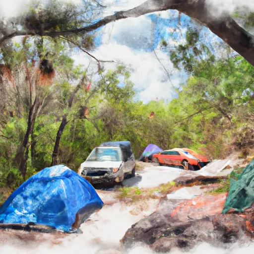
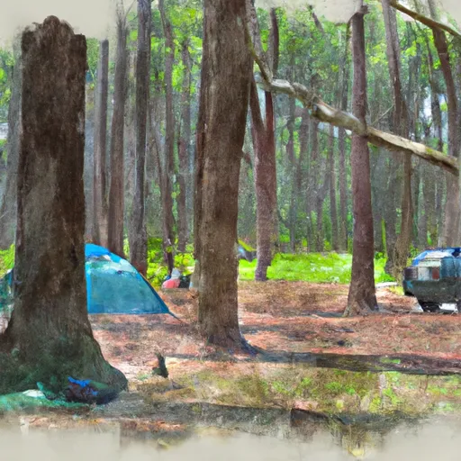
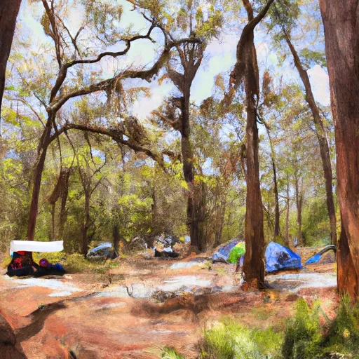
Camping in Torreya State Park
Campgrounds inside the park, with today's conditions score.
Plan your visit down to the hour
Same weather feed Snoflo's iOS app uses -- updated continuously from NOAA / yr.no.
Next 5 days, hour by hour
Temperature line with weather symbols on top, snow + rain accumulation as columns, humidity as a dotted line.
5-day forecast table
Every 3 hours, broken out across temperature, snow, rain, humidity, and wind.
| Time | Condition | Temp (°F) | Snow (in) | Rain (in) | Humidity (%) | Wind (mps) | Wind dir |
|---|---|---|---|---|---|---|---|
| Loading detailed forecast… | |||||||
15-day temperature & precipitation
Daily temperatures, snow, and rain projected over the next two weeks.
Responsible recreation & Leave No Trace
- Know before you go
- Check the operator's site for hours, permit requirements, seasonal closures, and fire restrictions before heading out.
- Stay on trail
- Stick to marked paths to protect vegetation, prevent erosion, and avoid disturbing wildlife habitat.
- Respect wildlife
- Observe from a distance, never feed wildlife, and store food securely if camping is permitted on-site.
- Pack it in, pack it out
- Carry out all trash, food scraps, and gear. Many parks have limited or no trash service.
- Leave what you find
- Don't take rocks, plants, or artifacts. They make the park what it is for the next visitor.
Set push alerts in the Snoflo app
Save Torreya State Park as a favorite, set a custom threshold (precipitation, freezing temperatures, fire-restriction days), and the iOS app will push the moment conditions cross.
About Torreya State Park
What can I do at Torreya State Park?
Most Snoflo-tracked parks support hiking, picnicking, and wildlife viewing. Check the operator's site for activity-specific rules (camping, fishing, paddling, hunting).
How fresh is the weather data?
The hourly forecast updates throughout the day from NOAA / yr.no. Streamflow comes live from USGS streamgauges.
When is the best time to visit?
Use the 15-day temperature & precipitation outlook on this page to plan -- pick a window with comfortable temperatures and low precipitation.
How do I get to Torreya State Park?
Tap Directions in the hero above to open driving directions in Google Maps, or Open in map to center the Snoflo interactive map on the park.
Can I get alerts when conditions change?
Yes -- alerts are managed in the Snoflo iOS app. Favorite this park, set a threshold (temperature, precipitation), and you'll get a push the moment it crosses.
Park & land designation reference
A quick legend for the federal and state land categories Snoflo tracks. Each designation comes with different rules around access, recreation, and resource extraction.
- National Park
- Large protected natural areas managed by the federal government to preserve significant landscapes, ecosystems, and cultural resources; recreation is allowed but conservation is the priority.
- State Park
- Public natural or recreational areas managed by a state government, typically smaller than national parks and focused on regional natural features, recreation, and education.
- Local Park
- Community-level parks managed by cities or counties, emphasizing recreation, playgrounds, sports, and green space close to populated areas.
- Wilderness Area
- The highest level of land protection in the U.S.; designated areas where nature is left essentially untouched, with no roads, structures, or motorized motorized access permitted.
- National Recreation Area
- Areas set aside primarily for outdoor recreation (boating, hiking, fishing, often around reservoirs, rivers, or scenic landscapes); may allow more development.
- National Conservation Area (BLM)
- BLM-managed areas with special ecological, cultural, or scientific value; more protection than typical BLM land but less strict than Wilderness Areas.
- State Forest
- State-managed forests focused on habitat, watershed, recreation, and sustainable timber harvest.
- Bureau of Land Management (BLM) Land
- Vast federal lands managed for mixed use -- recreation, grazing, mining, conservation -- with fewer restrictions than national parks or forests.