Park

Boise National Forest

Idaho, USA Middle Snake-Boise watershed 43.213°, -115.344°
Today high
--
Tonight low
--
Campgrounds
60
Trails
60
Loading current conditions…
Next 24 hours
Loading next 24 hours…

Community Reviews

Loading reviews…

Been here? Share the conditions.

Reviews, ratings & photos are added in the free Snoflo iOS app — rate a spot, tag the conditions, and your visit is verified by location. Add or manage your reviews from the app.
Get the app
Boise National Forest -- Idaho park
Boise National Forest Idaho · Middle Snake-Boise watershed
About this park

Boise National Forest

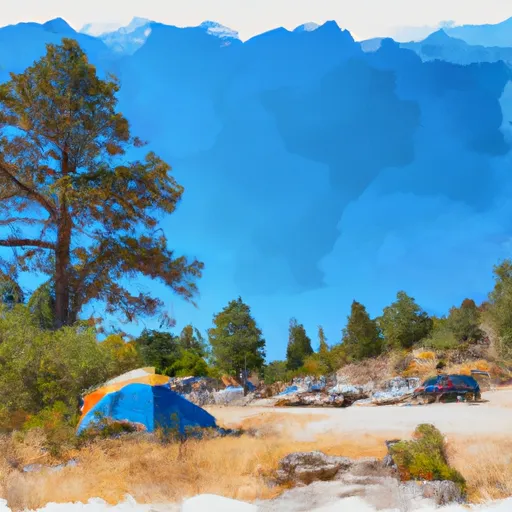
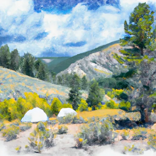
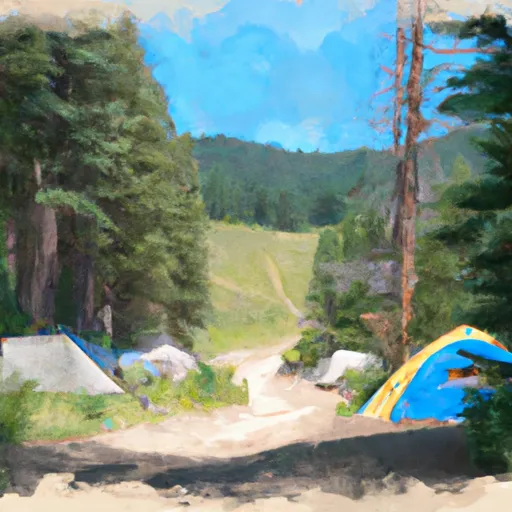
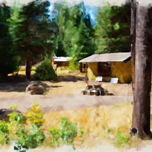
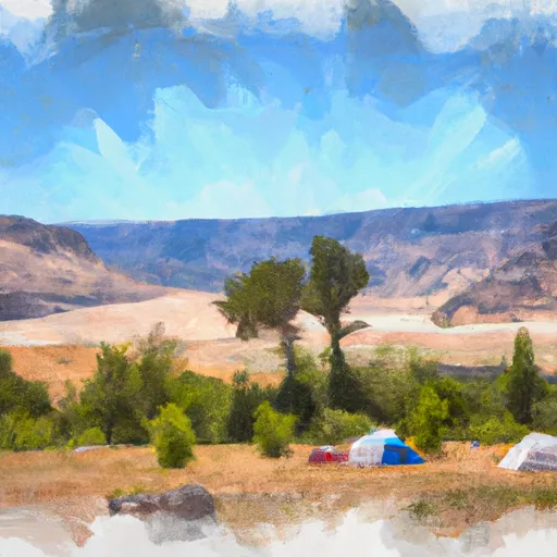
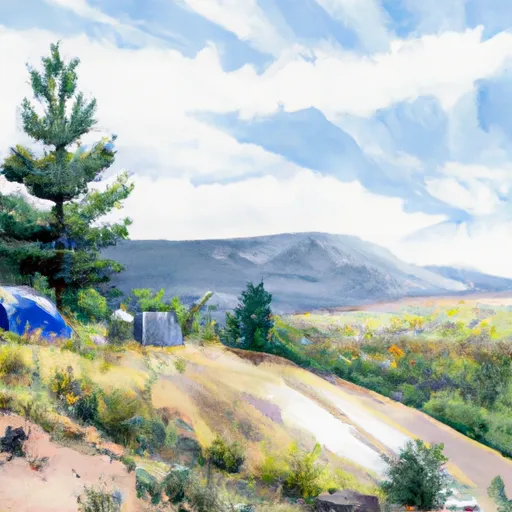
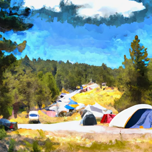
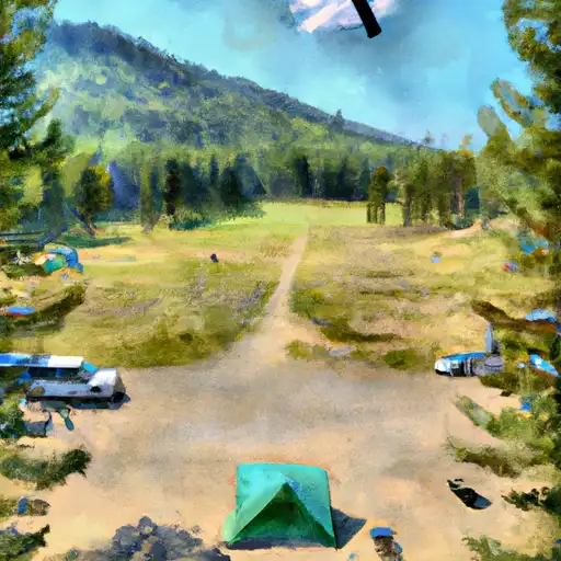
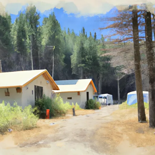
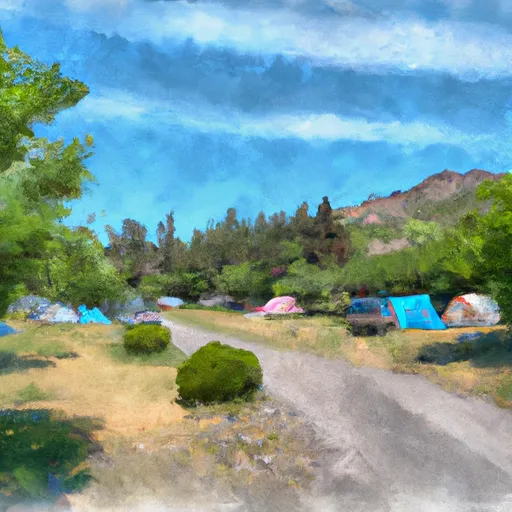
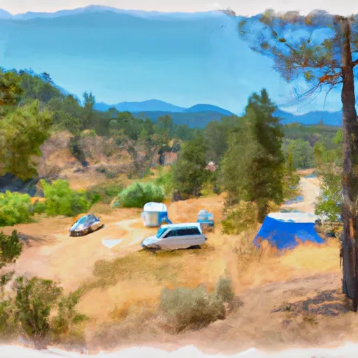
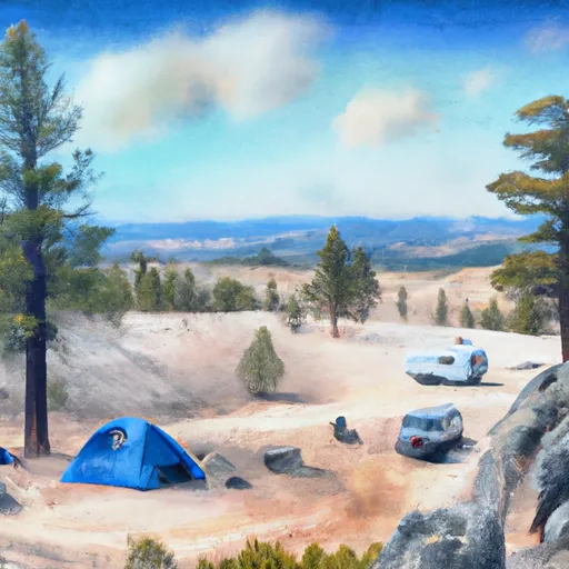
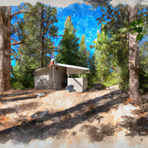
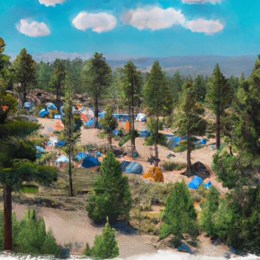
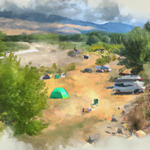
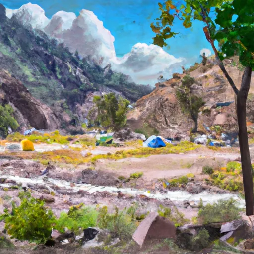
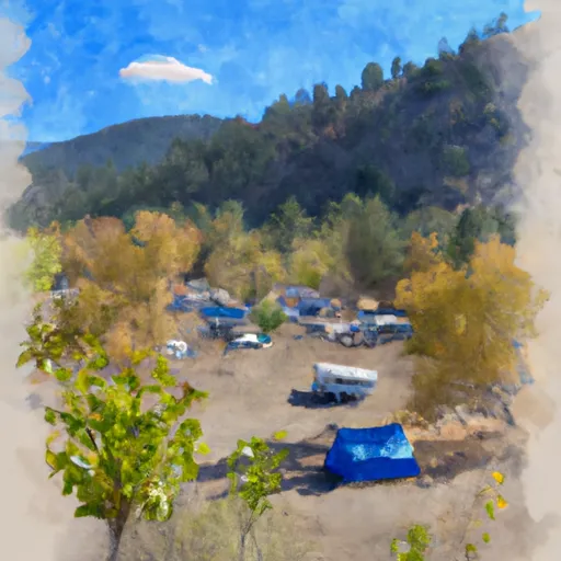
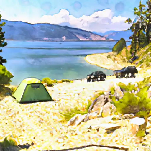
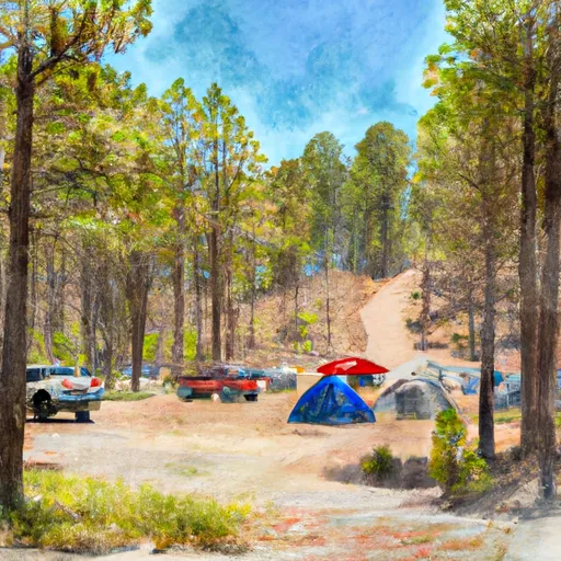
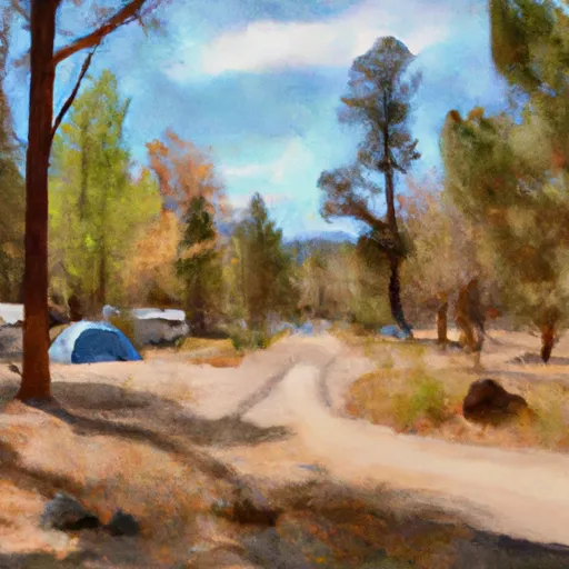
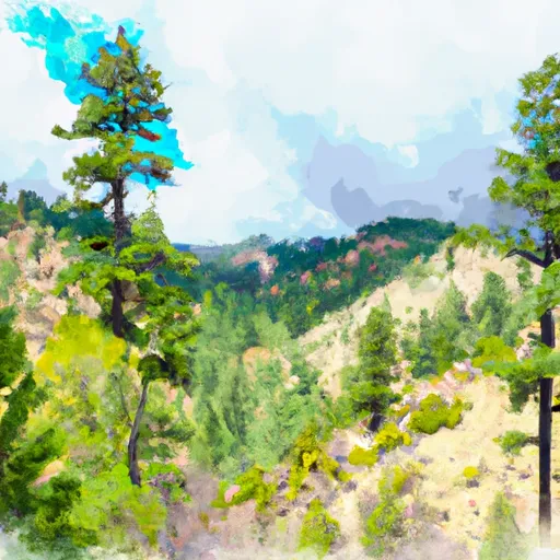
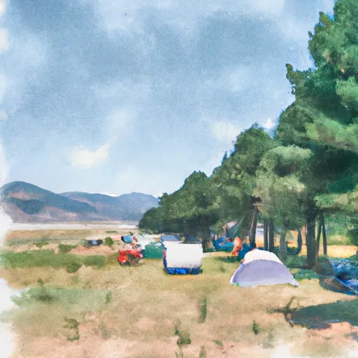
Boise National Forest is a vast wilderness area located in the state of Idaho, covering over 2.5 million acres of forested mountains, valleys, and rivers. It boasts a diverse ecosystem, with over 50 species of mammals, 200 species of birds, and hundreds of species of plants and trees.

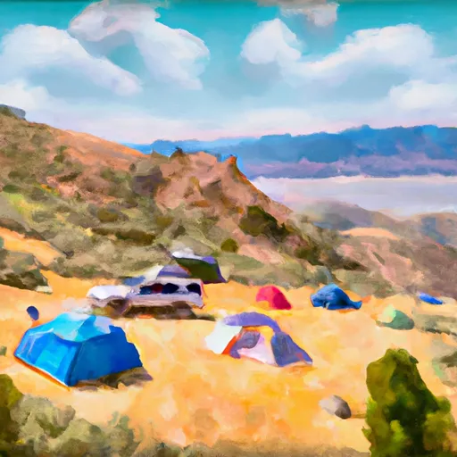
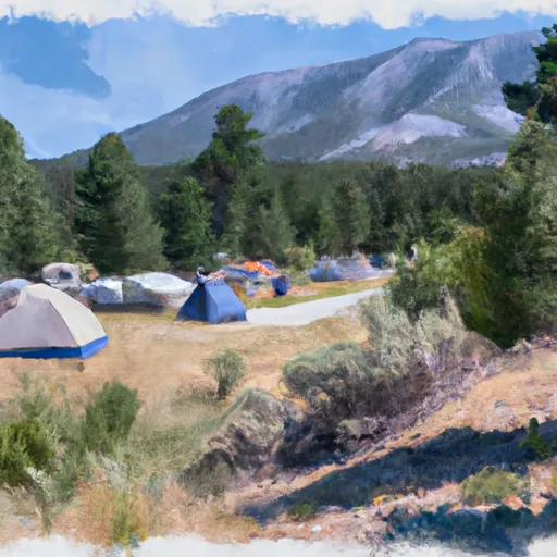
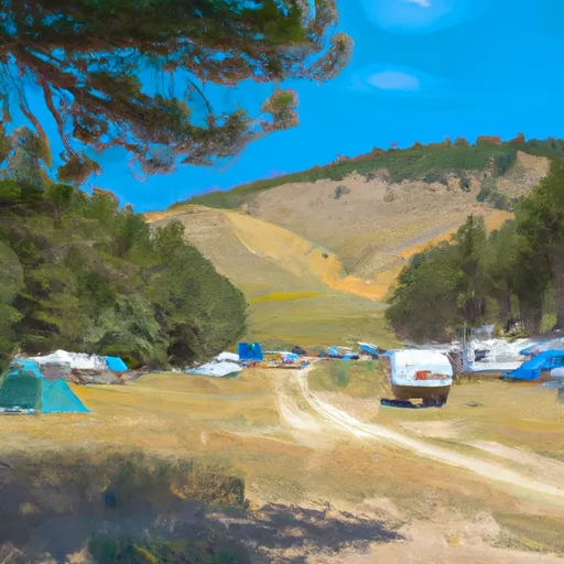
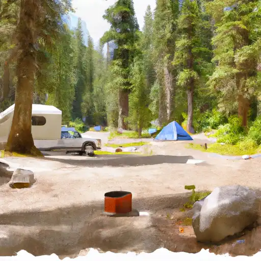
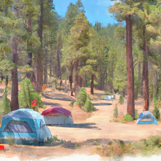
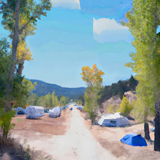
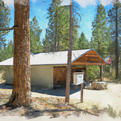
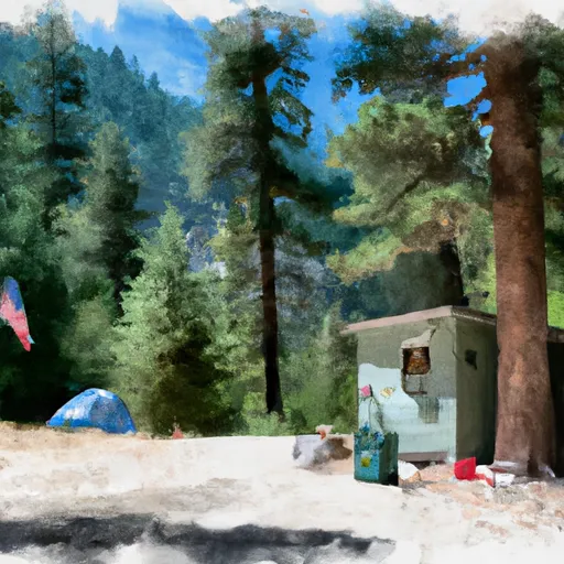
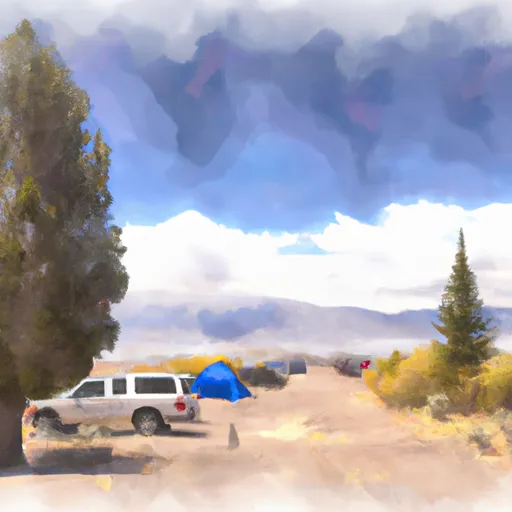
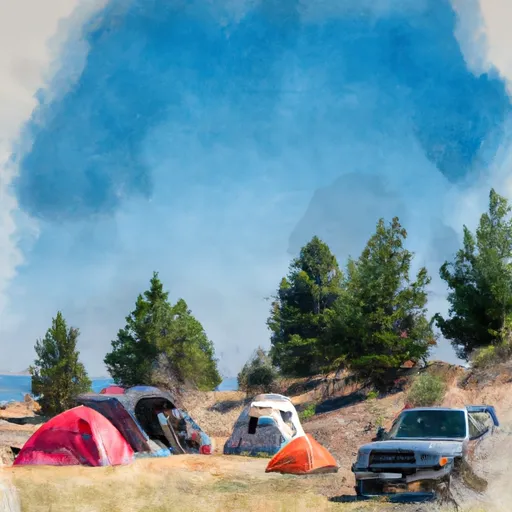
There are numerous reasons to visit Boise National Forest, including the opportunity to hike, camp, fish, hunt, and explore nature. The forest features several scenic drives, including the Banks-Lowman Road and the Ponderosa Pine Scenic Byway, which offer stunning views of the surrounding landscape.

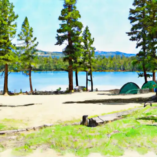
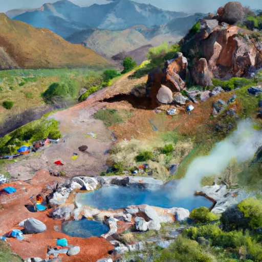
Some specific points of interest to see in Boise National Forest include the hot springs at Kirkham and Bonneville, the historic mining town of Atlanta, and the stunning alpine lakes of Sawtooth Wilderness. Visitors can also explore the forest's many trails, which range from easy strolls to challenging hikes.

Interesting facts about the area include that Boise National Forest is home to the largest population of nesting bald eagles in the continental United States, and that it contains the headwaters of several major rivers, including the Payette, Boise, and Salmon Rivers.

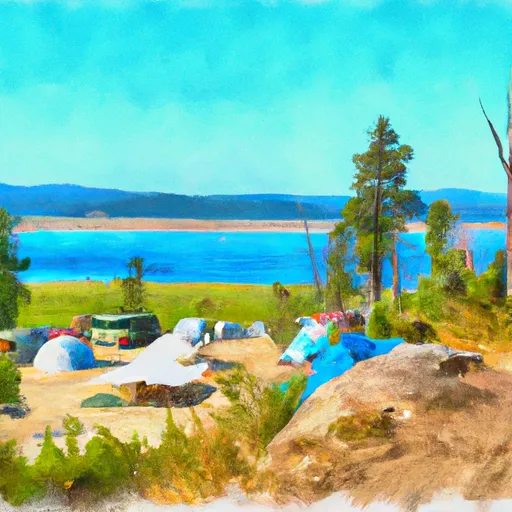
The best time of year to visit Boise National Forest depends on the visitor's interests. Summer is popular for camping, hiking, and fishing, while fall offers spectacular foliage and hunting opportunities. Winter is ideal for skiing and snowmobiling, and spring is a great time to see wildflowers and newborn wildlife.

Overall, Boise National Forest is a must-visit destination for anyone looking to explore the natural beauty of Idaho. With its diverse ecosystem, stunning scenery, and numerous recreational opportunities, it offers something for everyone.
StateIdaho
WatershedMiddle Snake-Boise
Latitude43.2134°
Longitude-115.3436°
In the park

Streamflow in Boise National Forest

Live USGS discharge at streamgauges inside the park boundary.

GaugeFlow
Mores Creek Ab Robie Creek Nr Arrowrock Dam Id · 2.15 ft gage 65 cfs
Boise River Nr Twin Springs Id · 6.24 ft gage 782 cfs
Sf Boise River At Anderson Ranch Dam Id · 4.90 ft gage 1,580 cfs
Sf Boise River Nr Featherville Id · 2.18 ft gage 403 cfs
Sf Payette River At Lowman Id · 4.03 ft gage 883 cfs
Deadwood River Bl Deadwood Res Nr Lowman Id · 3.85 ft gage 302 cfs
Sf Boise River At Neal Bridge Nr Arrowrock Dam Id · 7.18 ft gage 360 cfs
In the park

Snowpack in Boise National Forest

Current snow depth at SNOTEL stations inside the park boundary.

Snow stationSnowpack
Atlanta Summit 0 in
Bogus Basin 0 in
Camas Creek Divide 0 in
Cozy Cove 0 in
Deadwood Summit 4 in
Graham Guard Sta. 0 in
Jackson Peak 0 in
Mores Creek Summit 0 in
Trinity Mtn. 1 in
Nohrsc Atlanta Summit 0 in
Nohrsc Bogus Basin ·
Nohrsc Camas Creek Divide 0 in
Nohrsc Cozy Cove 2 in
Nohrsc Deadwood Summit 4 in
Deadwood Lodge 53 in
Graham Guard Sta. 0 in
Nohrsc Jackson Peak 0 in
Mores Creek Summit 0 in
Nohrsc Prairie 0 in
Nohrsc Trinity Mtn. 1 in
Nohrsc Snowschool 1 114 in
Fox Trail Ridge 0 in
In the park

Trails in Boise National Forest

Named trails whose route falls inside the park.

#125 Freddys Stack Rock Trail
7.2 mi · Biking, Hiking, Running
#144 Cabin Traverse
0.4 mi · Hiking, Running
#4 8th Street Motorcycle
0.1 mi · Biking, Hiking, Horseback, Running
#91 Deer Point
2.2 mi · Biking, Hiking, Running
#95 Tempest
0.9 mi · Biking, Hiking, Running
594003
1.6 mi · Biking, Hiking, Horseback, Running
Alder Creek Road
6.5 mi · Hiking, Running
Bayhouse Trail
0.9 mi · Hiking, Running
Beehive
1.7 mi · Hiking, Running
Black Warrior Trail
15.6 mi · Hiking, Horseback, Running
Bogus Creek Loop
1.3 mi · Biking, Hiking, Running
Buena Vista Trail
1.7 mi · Hiking, Running
Cougar Trail
1.1 mi · Hiking, Running
Danskin #400
3.9 mi · Hiking, Running
Danskin #410
5.3 mi · Hiking, Running
Danskin #412
5.6 mi · Hiking, Running
Deadwood River Road
6.7 mi · Hiking, Running
Deer Creek Road
3.3 mi · Hiking, Running
Division Stock Trail
0.6 mi · Hiking, Running
Fiddle Lake
0.5 mi · Hiking, Running
Fs Trail 606
6.9 mi · Hiking, Running
G-19
0.4 mi · Biking
Grouse Creek A
4.8 mi · Hiking, Running
Hawkins Reserve Loop
5.8 mi · Biking, Hiking, Running
Hobo Juice
0.6 mi · Biking
Honeymoon Trail
9.9 mi · Hiking, Running
Johnny Woods-Placer Creek Trail
4.8 mi · Hiking, Running
Johnson Creek Trail
12.3 mi · Hiking, Horseback, Running
Kennally Creek Pack Trail
8.2 mi · Hiking, Running
Kirkham Ridge
35.4 mi · Hiking, Running
Little Owl Road
3.6 mi · Hiking, Running
Lodge Cat Track
0.8 mi · Biking, Hiking, Running
Mores Mountain Interpretive Trail
1.9 mi · Hiking, Running
Mores Mountain Interpretive Trail
0.1 mi · Hiking, Running
Mores Mountain Interpretive Trail
0.1 mi · Hiking, Running
Mores Mountain Mountain Bike Trail
1.6 mi · Biking, Hiking, Running
National Forest Development Road 374
1.5 mi · Hiking, Running
National Forest Development Road 502
12.3 mi · Hiking, Running
National Forest Development Road 555ec
2.5 mi · Hiking, Running
National Forest Development Road 558
9.6 mi · Hiking, Running
Nfdr 386
0.3 mi · Hiking, Running
Nfdr 690a
1.8 mi · Hiking, Running
North Green Valley Lane
0.2 mi · Hiking, Running
Park Drive
0.3 mi · Hiking, Running
Peace Creek Trail
11.3 mi · Hiking, Running
Queens River Trail
13.9 mi · Hiking, Horseback, Running
Rainbow Basin
4.4 mi · Hiking, Running
Sand Hill Lane
0.1 mi · Hiking, Running
Shafer Butte Road
1.0 mi · Biking, Hiking, Running
Shafer Butte Road
0.3 mi · Biking, Hiking, Running
Skyline Yurt Access
1.1 mi · Hiking, Running
Spur 394b
2.0 mi · Hiking, Running
Sulphur Creek Trail
13.1 mi · Hiking, Running
Ten Mile Ridge Trail
16.5 mi · Hiking, Running
Toll Road
0.5 mi · Biking, Hiking, Running
Treasure Gulch Road
0.8 mi · Hiking, Running
United States Highway Fs 314c
0.8 mi · Hiking, Running
West Fork Bannock
2.0 mi · Biking, Hiking, Running
Whoop-Um-Up Creek Road
2.0 mi · Hiking, Running
Whoop-Um-Up Loop
1.3 mi · Hiking, Running
In the park

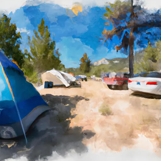
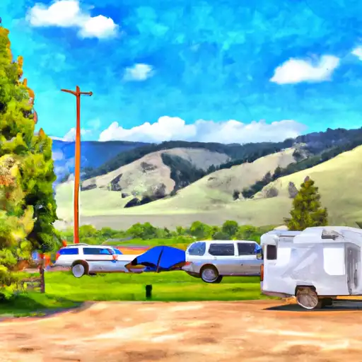
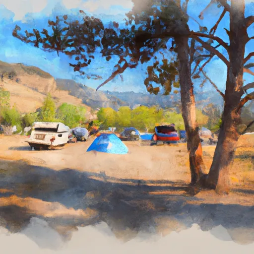
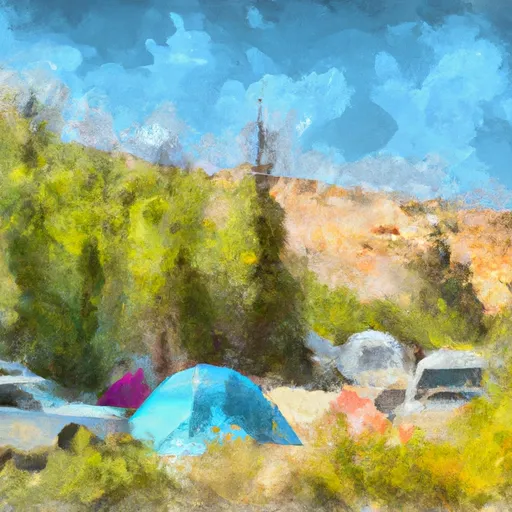
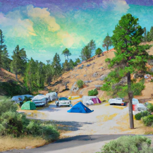
Camping in Boise National Forest

Campgrounds inside the park, with today's conditions score.
A Abbot
Abbot
A Abbot Campground
Abbot Campground
A Antelope
Antelope
A Antelope Annex
Antelope Annex
A Antelope Campground & Annex Group Sites - Reserve
Antelope Campground & Annex Group Sites - Reserve
A Arrowrock Reservoir Dispersed
Arrowrock Reservoir Dispersed
A Atlanta Guard Station - Rental Cabin
Atlanta Guard Station - Rental Cabin
B Bad Bear Campground
Bad Bear Campground
B Bad Bear Campground - Reserve
Bad Bear Campground - Reserve
B Badger Creek Campground
Badger Creek Campground
B Bald Mountain Campground
Bald Mountain Campground
B Banks Lowman Hwy Dispersed
Banks Lowman Hwy Dispersed
B Barber Flat Rental Cabin
Barber Flat Rental Cabin
B Barney's Campground - Reserve
Barney's Campground - Reserve
B Barney's Park Campground
Barney's Park Campground
B Barneys
Barneys
B Bear Valley
Bear Valley
B Bear Valley Campground
Bear Valley Campground
B Beaver Creek Rental Cabin
Beaver Creek Rental Cabin
B Big Roaring River Lake
Big Roaring River Lake
B Big Roaring River Lake Campground
Big Roaring River Lake Campground
B Big Trinity Lake
Big Trinity Lake
B Big Trinity Lake - Rental Cabins
Big Trinity Lake - Rental Cabins
B Big Trinity Lake Campground
Big Trinity Lake Campground
B Bird Creek
Bird Creek
B Bird Creek Campground
Bird Creek Campground
B Black Rock
Black Rock
B Black Rock Campground - Reserve
Black Rock Campground - Reserve
B Bonneville
Bonneville
B Bonneville Campground
Bonneville Campground
B Bonneville Campground - Reserve
Bonneville Campground - Reserve
B Buck Mountain
Buck Mountain
B Buck Mountain Campground
Buck Mountain Campground
B Bull Trout Lake
Bull Trout Lake
B Bull Trout Lake Campground & Group Sites - Reserve
Bull Trout Lake Campground & Group Sites - Reserve
C Cartwright Ridge
Cartwright Ridge
C Cartwright Ridge Campground
Cartwright Ridge Campground
C Castle Creek Campground
Castle Creek Campground
C Chaparral
Chaparral
C Chaparral Campground
Chaparral Campground
C Cold Springs Group Only Campground - Reserve
Cold Springs Group Only Campground - Reserve
C Cozy Cove
Cozy Cove
C Cozy Cove Campground
Cozy Cove Campground
C Cozy Cove Campground - Reserve
Cozy Cove Campground - Reserve
C Curlew Creek
Curlew Creek
C Curlew Creek Campground
Curlew Creek Campground
D Deadwood
Deadwood
D Deadwood Campground
Deadwood Campground
D Deadwood Lookout Rental Cabin
Deadwood Lookout Rental Cabin
D Deer Flat
Deer Flat
D Deer Flat Campground
Deer Flat Campground
D Deer Park Guard Station - Rental Cabin
Deer Park Guard Station - Rental Cabin
D Dog Creek
Dog Creek
D Dog Creek Campground
Dog Creek Campground
D Dog Creek Campground - Reserve
Dog Creek Campground - Reserve
E Eastside
Eastside
E Eastside Group Only Campground - Reserve
Eastside Group Only Campground - Reserve
E Edna Creek Campground - Reserve
Edna Creek Campground - Reserve
E Elk Creek Guard Station - Rental Cabins
Elk Creek Guard Station - Rental Cabins
E Elks Flat
Elks Flat
Detailed forecast

Plan your visit down to the hour

Same weather feed Snoflo's iOS app uses -- updated continuously from NOAA / yr.no.

Hourly detail

Next 5 days, hour by hour

Temperature line with weather symbols on top, snow + rain accumulation as columns, humidity as a dotted line.
Loading hourly forecast…
Deep dive

5-day forecast table

Every 3 hours, broken out across temperature, snow, rain, humidity, and wind.
TimeConditionTemp (°F)Snow (in)Rain (in)Humidity (%)Wind (mps)Wind dir
Loading detailed forecast…
Long-term outlook

15-day temperature & precipitation

Daily temperatures, snow, and rain projected over the next two weeks.

Loading 15-day outlook…

Responsible recreation & Leave No Trace

Know before you go
Check the operator's site for hours, permit requirements, seasonal closures, and fire restrictions before heading out.
Stay on trail
Stick to marked paths to protect vegetation, prevent erosion, and avoid disturbing wildlife habitat.
Respect wildlife
Observe from a distance, never feed wildlife, and store food securely if camping is permitted on-site.
Pack it in, pack it out
Carry out all trash, food scraps, and gear. Many parks have limited or no trash service.
Leave what you find
Don't take rocks, plants, or artifacts. They make the park what it is for the next visitor.

Set push alerts in the Snoflo app

Save Boise National Forest as a favorite, set a custom threshold (precipitation, freezing temperatures, fire-restriction days), and the iOS app will push the moment conditions cross.

FAQ

About Boise National Forest

What can I do at Boise National Forest?

Most Snoflo-tracked parks support hiking, picnicking, and wildlife viewing. Check the operator's site for activity-specific rules (camping, fishing, paddling, hunting).

How fresh is the weather data?

The hourly forecast updates throughout the day from NOAA / yr.no. Streamflow comes live from USGS streamgauges.

When is the best time to visit?

Use the 15-day temperature & precipitation outlook on this page to plan -- pick a window with comfortable temperatures and low precipitation.

How do I get to Boise National Forest?

Tap Directions in the hero above to open driving directions in Google Maps, or Open in map to center the Snoflo interactive map on the park.

Can I get alerts when conditions change?

Yes -- alerts are managed in the Snoflo iOS app. Favorite this park, set a threshold (temperature, precipitation), and you'll get a push the moment it crosses.

Land designation

Park & land designation reference

A quick legend for the federal and state land categories Snoflo tracks. Each designation comes with different rules around access, recreation, and resource extraction.

National Park
Large protected natural areas managed by the federal government to preserve significant landscapes, ecosystems, and cultural resources; recreation is allowed but conservation is the priority.
State Park
Public natural or recreational areas managed by a state government, typically smaller than national parks and focused on regional natural features, recreation, and education.
Local Park
Community-level parks managed by cities or counties, emphasizing recreation, playgrounds, sports, and green space close to populated areas.
Wilderness Area
The highest level of land protection in the U.S.; designated areas where nature is left essentially untouched, with no roads, structures, or motorized motorized access permitted.
National Recreation Area
Areas set aside primarily for outdoor recreation (boating, hiking, fishing, often around reservoirs, rivers, or scenic landscapes); may allow more development.
National Conservation Area (BLM)
BLM-managed areas with special ecological, cultural, or scientific value; more protection than typical BLM land but less strict than Wilderness Areas.
State Forest
State-managed forests focused on habitat, watershed, recreation, and sustainable timber harvest.
Bureau of Land Management (BLM) Land
Vast federal lands managed for mixed use -- recreation, grazing, mining, conservation -- with fewer restrictions than national parks or forests.