Summary
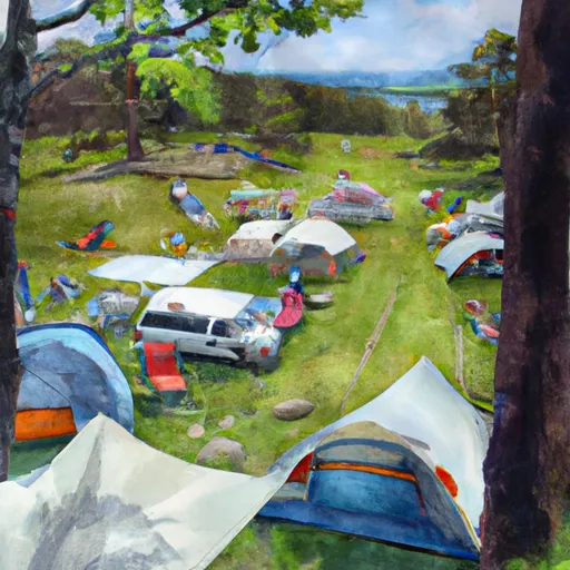
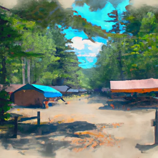
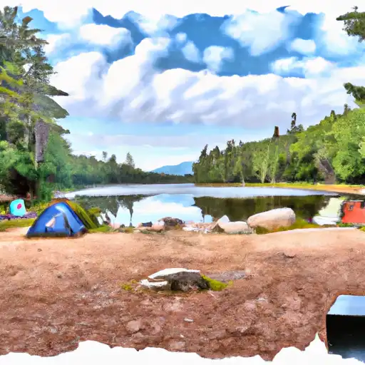
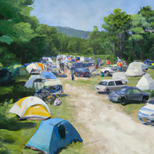
It was established in 1966 and is managed by the Maine Department of Agriculture, Conservation and Forestry. The waterway is a popular destination for outdoor enthusiasts, offering opportunities for camping, canoeing, fishing, and wildlife watching.
Some good reasons to visit the Allagash Wilderness Waterway are the stunning natural beauty, the chance to see wildlife such as moose, black bears, and bald eagles, and the opportunity to experience a remote wilderness adventure. The waterway is also steeped in history, as it was once used as a transportation route by Native American tribes and early European settlers.
Some specific points of interest to see along the waterway include Allagash Falls, which is a series of rapids and waterfalls that offer a thrilling experience for whitewater enthusiasts; Churchill Dam, which spans the waterway and offers a great spot for fishing; and the Allagash Ranger Station, which provides information and services to visitors.
Interesting facts about the Allagash Wilderness Waterway include that it is the largest unit in the Maine State Park system and is designated a National Wild and Scenic River. It is also home to a diverse array of wildlife, including over 200 bird species, 40 species of mammals, and 20 species of fish.
The best time of year to visit the Allagash Wilderness Waterway depends on the activities you plan to do. The summer months offer the best weather for camping and canoeing, while the fall is a great time for fishing and wildlife watching. Winter activities such as skiing and snowmobiling are also popular in the area. However, it is important to be prepared for the weather conditions, as temperatures can vary greatly throughout the year.
°F
°F
mph
Wind
%
Humidity
15-Day Weather Outlook
5-Day Hourly Forecast Detail
Park & Land Designation Reference
Large protected natural areas managed by the federal government to preserve significant landscapes, ecosystems, and cultural resources; recreation is allowed but conservation is the priority.
State Park
Public natural or recreational areas managed by a state government, typically smaller than national parks and focused on regional natural features, recreation, and education.
Local Park
Community-level parks managed by cities or counties, emphasizing recreation, playgrounds, sports, and green space close to populated areas.
Wilderness Area
The highest level of land protection in the U.S.; designated areas where nature is left essentially untouched, with no roads, structures, or motorized access permitted.
National Recreation Area
Areas set aside primarily for outdoor recreation (boating, hiking, fishing), often around reservoirs, rivers, or scenic landscapes; may allow more development.
National Conservation Area (BLM)
BLM-managed areas with special ecological, cultural, or scientific value; more protection than typical BLM land but less strict than Wilderness Areas.
State Forest
State-managed forests focused on habitat, watershed, recreation, and sustainable timber harvest.
National Forest
Federally managed lands focused on multiple use—recreation, wildlife habitat, watershed protection, and resource extraction (like timber)—unlike the stricter protections of national parks.
Wilderness
A protected area set aside to conserve specific resources—such as wildlife, habitats, or scientific features—with regulations varying widely depending on the managing agency and purpose.
Bureau of Land Management (BLM) Land
Vast federal lands managed for mixed use—recreation, grazing, mining, conservation—with fewer restrictions than national parks or forests.
Related References
Area Campgrounds
| Location | Reservations | Toilets |
|---|---|---|
 Little Coffeelos Tentsite
|
||
 North Branch Bunkhouse
|
||
 N.W. Cove Tentsite
|
||
 South Branch Pond - Baxter State Park
|
||
 South Branch Pond Campground
|
||
 Group A
|
