Wilderness Pecos
Community Reviews
Been here? Share the conditions.
Reviews, ratings & photos are added in the free Snoflo iOS app — rate a spot, tag the conditions, and your visit is verified by location. Add or manage your reviews from the app.

Wilderness Pecos
One of the primary reasons to visit the Wilderness of Pecos is its unparalleled natural scenery. The landscape consists of vast forests, majestic peaks, sparkling lakes, and meandering rivers. Visitors can explore numerous hiking trails that lead to breathtaking vistas, such as the iconic Pecos Baldy or the remote Truchas Peaks. The area is also known for its diverse wildlife, including elk, deer, black bears, and numerous bird species, offering excellent opportunities for wildlife observation and birdwatching.
Besides its natural beauty, the Pecos Wilderness also boasts several points of interest worth exploring. One notable spot is the Pecos National Historical Park, which preserves the remains of ancient Puebloan villages and Spanish Colonial buildings. This historical site provides insights into the area's rich cultural and historical heritage. Another must-visit is the famous Winsor Trail, a 22-mile trek that showcases the region's stunning landscapes, including beautiful aspen groves, alpine meadows, and cascading waterfalls.
Fascinating facts about the Pecos Wilderness include its designation as the first wilderness area in New Mexico, established in 1964. The area is also home to the headwaters of the Pecos River, which flows through multiple states before eventually reaching the Gulf of Mexico. Additionally, the Pecos Wilderness is renowned for its exceptional fly fishing opportunities, with its many lakes and streams teeming with trout.
The best time of year to visit the Wilderness of Pecos depends on personal preferences and the desired activities. Summers offer mild temperatures, making it ideal for hiking, fishing, and camping. However, thunderstorms are frequent during this season, so hikers should be cautious. Autumn paints the area with vibrant fall colors, making it a popular time for photography enthusiasts. Winters bring snow to the region, creating opportunities for cross-country skiing and snowshoeing, but access may be limited due to road closures.
To ensure accuracy, it is recommended to verify the information provided by consulting multiple independent sources such as official park websites, visitor centers, and travel guides dedicated to the region.
Streamflow in Wilderness Pecos
Live USGS discharge at streamgauges inside the park boundary.
Snowpack in Wilderness Pecos
Current snow depth at SNOTEL stations inside the park boundary.
Trails in Wilderness Pecos
Named trails whose route falls inside the park.
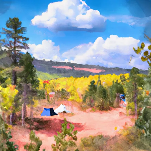
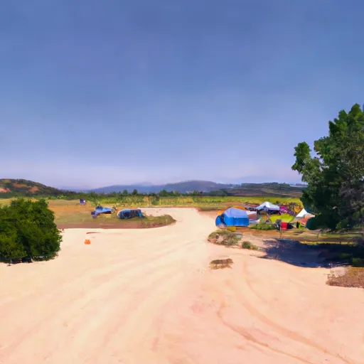
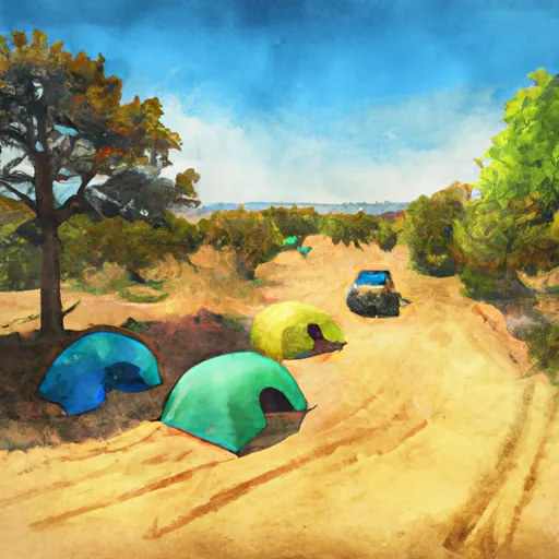
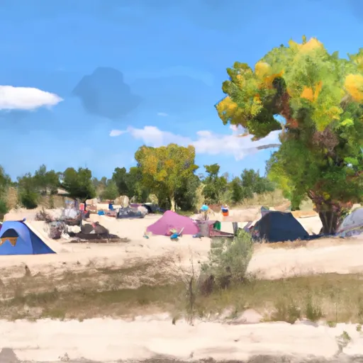
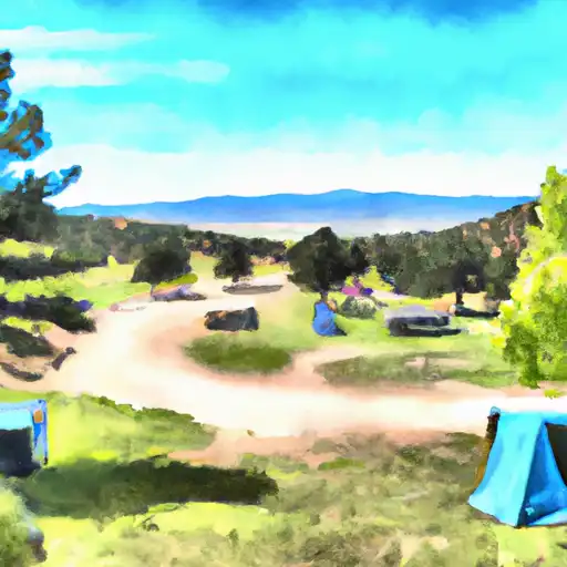
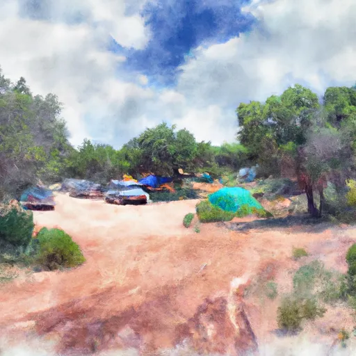
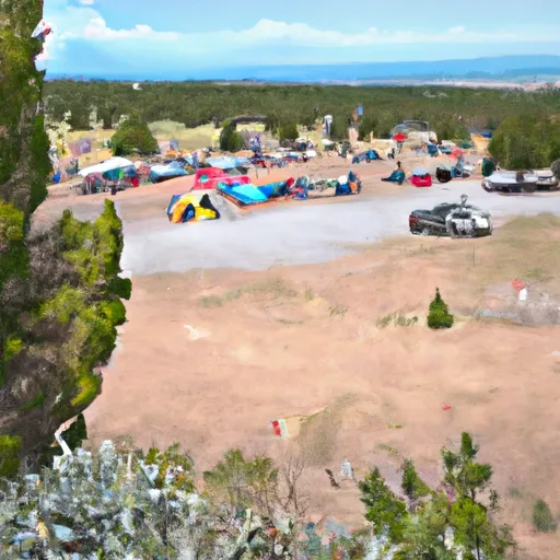
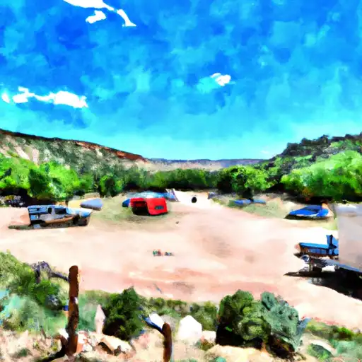
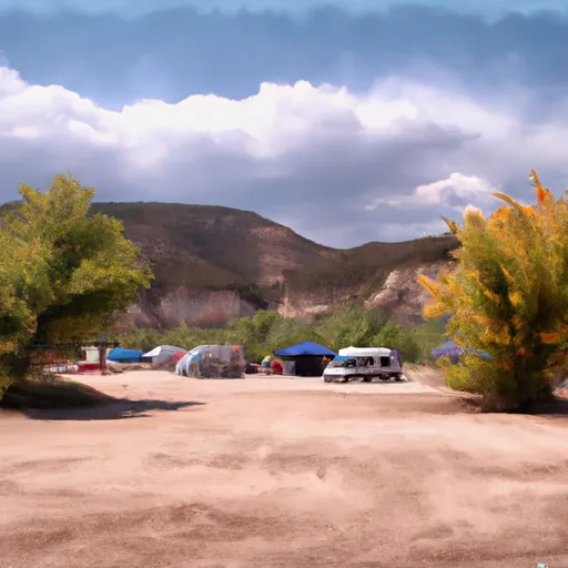
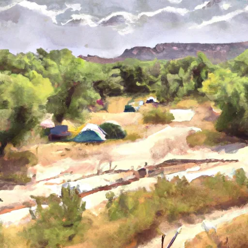
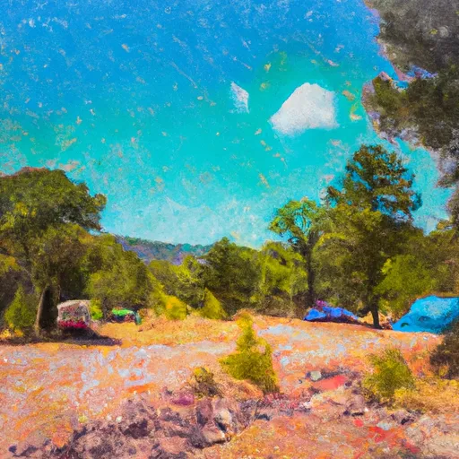
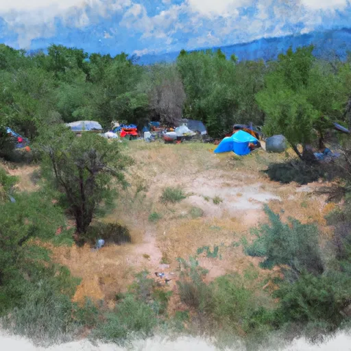
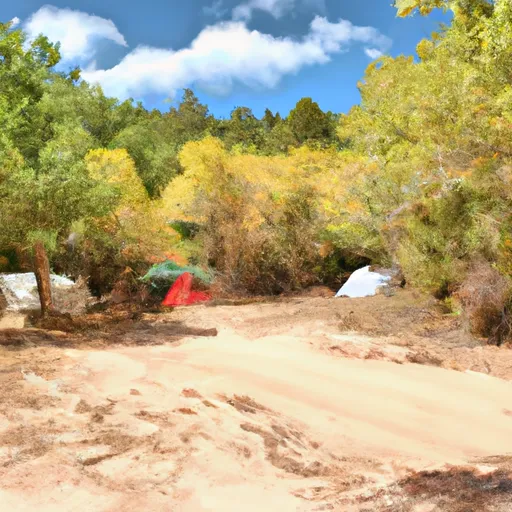
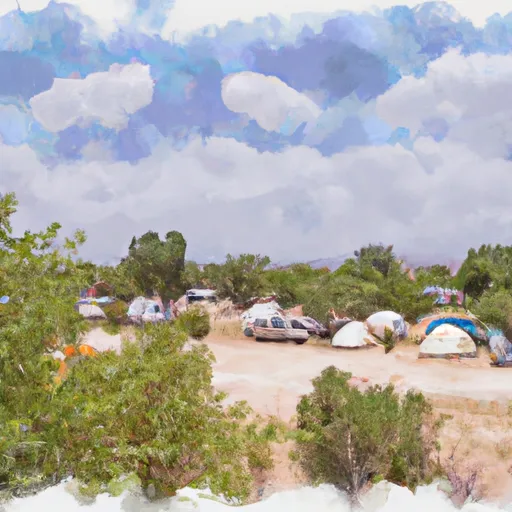
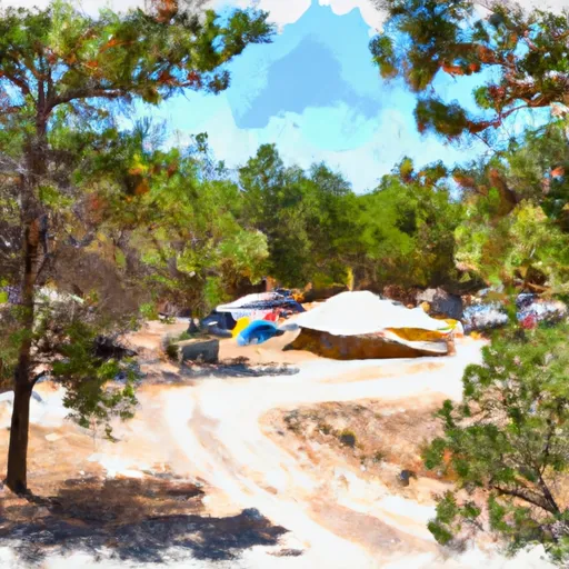
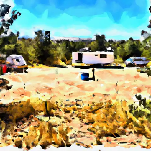
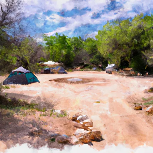
Camping in Wilderness Pecos
Campgrounds inside the park, with today's conditions score.


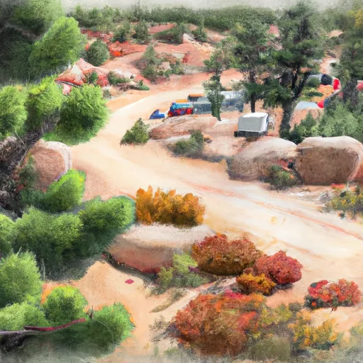
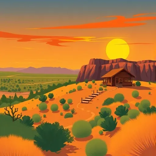
Points of interest in Wilderness Pecos
Landmarks and points of interest inside the park boundary.


Plan your visit down to the hour
Same weather feed Snoflo's iOS app uses -- updated continuously from NOAA / yr.no.
Next 5 days, hour by hour
Temperature line with weather symbols on top, snow + rain accumulation as columns, humidity as a dotted line.
5-day forecast table
Every 3 hours, broken out across temperature, snow, rain, humidity, and wind.
| Time | Condition | Temp (°F) | Snow (in) | Rain (in) | Humidity (%) | Wind (mps) | Wind dir |
|---|---|---|---|---|---|---|---|
| Loading detailed forecast… | |||||||
15-day temperature & precipitation
Daily temperatures, snow, and rain projected over the next two weeks.
Responsible recreation & Leave No Trace
- Know before you go
- Check the operator's site for hours, permit requirements, seasonal closures, and fire restrictions before heading out.
- Stay on trail
- Stick to marked paths to protect vegetation, prevent erosion, and avoid disturbing wildlife habitat.
- Respect wildlife
- Observe from a distance, never feed wildlife, and store food securely if camping is permitted on-site.
- Pack it in, pack it out
- Carry out all trash, food scraps, and gear. Many parks have limited or no trash service.
- Leave what you find
- Don't take rocks, plants, or artifacts. They make the park what it is for the next visitor.
Set push alerts in the Snoflo app
Save Wilderness Pecos as a favorite, set a custom threshold (precipitation, freezing temperatures, fire-restriction days), and the iOS app will push the moment conditions cross.
About Wilderness Pecos
What can I do at Wilderness Pecos?
Most Snoflo-tracked parks support hiking, picnicking, and wildlife viewing. Check the operator's site for activity-specific rules (camping, fishing, paddling, hunting).
How fresh is the weather data?
The hourly forecast updates throughout the day from NOAA / yr.no. Streamflow comes live from USGS streamgauges.
When is the best time to visit?
Use the 15-day temperature & precipitation outlook on this page to plan -- pick a window with comfortable temperatures and low precipitation.
How do I get to Wilderness Pecos?
Tap Directions in the hero above to open driving directions in Google Maps, or Open in map to center the Snoflo interactive map on the park.
Can I get alerts when conditions change?
Yes -- alerts are managed in the Snoflo iOS app. Favorite this park, set a threshold (temperature, precipitation), and you'll get a push the moment it crosses.
Park & land designation reference
A quick legend for the federal and state land categories Snoflo tracks. Each designation comes with different rules around access, recreation, and resource extraction.
- National Park
- Large protected natural areas managed by the federal government to preserve significant landscapes, ecosystems, and cultural resources; recreation is allowed but conservation is the priority.
- State Park
- Public natural or recreational areas managed by a state government, typically smaller than national parks and focused on regional natural features, recreation, and education.
- Local Park
- Community-level parks managed by cities or counties, emphasizing recreation, playgrounds, sports, and green space close to populated areas.
- Wilderness Area
- The highest level of land protection in the U.S.; designated areas where nature is left essentially untouched, with no roads, structures, or motorized motorized access permitted.
- National Recreation Area
- Areas set aside primarily for outdoor recreation (boating, hiking, fishing, often around reservoirs, rivers, or scenic landscapes); may allow more development.
- National Conservation Area (BLM)
- BLM-managed areas with special ecological, cultural, or scientific value; more protection than typical BLM land but less strict than Wilderness Areas.
- State Forest
- State-managed forests focused on habitat, watershed, recreation, and sustainable timber harvest.
- Bureau of Land Management (BLM) Land
- Vast federal lands managed for mixed use -- recreation, grazing, mining, conservation -- with fewer restrictions than national parks or forests.