Rough And Ready Creek Botanical Wayside
Community Reviews
Been here? Share the conditions.
Reviews, ratings & photos are added in the free Snoflo iOS app — rate a spot, tag the conditions, and your visit is verified by location. Add or manage your reviews from the app.

Rough And Ready Creek Botanical Wayside
Reasons to Visit:
1. Biodiversity: Rough and Ready Creek Botanical Wayside is renowned for its exceptional biodiversity, with over 200 plant species, including rare and endemic ones. It provides an excellent opportunity for nature enthusiasts, botanists, and hikers to discover and learn about the region's diverse plant life.
Points of Interest:
1. Serpentine Outcrops: The wayside is known for its unique and rare serpentine rock formations. These geological features create a distinct soil type that supports a variety of specialized plant species typically not found in other regions.
2. Wildflowers: During the spring and summer months, the wayside bursts into a colorful display of wildflowers, including the endangered Rough and Ready Larkspur, which is a rare sight to behold.
3. Hiking Trails: The area offers several well-maintained hiking trails that wind through the botanical wayside, allowing visitors to immerse themselves in the stunning natural surroundings.
Interesting Facts:
1. Conservation Efforts: The Rough and Ready Creek Botanical Wayside was established in 1963 specifically to preserve the unique plant species found in the serpentine soils of the area.
2. Rare Plant Species: The botanical wayside is home to several rare and endemic plant species, such as the Rough and Ready onion, the Rough and Ready manzanita, and the Siskiyou-rayless goldenrod.
3. Ecological Significance: The wayside is recognized as a unique ecological area due to the serpentine outcrops, which create a harsh environment for plant growth, resulting in specialized adaptations and plant communities that are rare and fragile.
Best Time to Visit:
The best time to visit Rough and Ready Creek Botanical Wayside is during the spring and early summer, generally from April to June. This period offers the best opportunity to witness the wildflower blooms and appreciate the botanical diversity of the area. However, it is always recommended to check the weather conditions and current information about the wayside before planning a visit.
Sources:
- Oregon State Parks: https://stateparks.oregon.gov/index.cfm?do=park.profile&parkId=78
- USDA Forest Service: https://www.fs.usda.gov/recarea/rogue-siskiyou/recarea/?recid=69791
- American Trails: https://www.americantrails.org/trails/rough-and-ready-creek-botanical-wayside
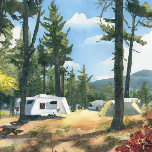
Camping in Rough And Ready Creek Botanical Wayside
Campgrounds inside the park, with today's conditions score.

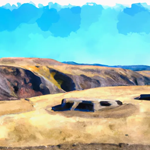
Points of interest in Rough And Ready Creek Botanical Wayside
Landmarks and points of interest inside the park boundary.


Plan your visit down to the hour
Same weather feed Snoflo's iOS app uses -- updated continuously from NOAA / yr.no.
Next 5 days, hour by hour
Temperature line with weather symbols on top, snow + rain accumulation as columns, humidity as a dotted line.
5-day forecast table
Every 3 hours, broken out across temperature, snow, rain, humidity, and wind.
| Time | Condition | Temp (°F) | Snow (in) | Rain (in) | Humidity (%) | Wind (mps) | Wind dir |
|---|---|---|---|---|---|---|---|
| Loading detailed forecast… | |||||||
15-day temperature & precipitation
Daily temperatures, snow, and rain projected over the next two weeks.
Responsible recreation & Leave No Trace
- Know before you go
- Check the operator's site for hours, permit requirements, seasonal closures, and fire restrictions before heading out.
- Stay on trail
- Stick to marked paths to protect vegetation, prevent erosion, and avoid disturbing wildlife habitat.
- Respect wildlife
- Observe from a distance, never feed wildlife, and store food securely if camping is permitted on-site.
- Pack it in, pack it out
- Carry out all trash, food scraps, and gear. Many parks have limited or no trash service.
- Leave what you find
- Don't take rocks, plants, or artifacts. They make the park what it is for the next visitor.
Set push alerts in the Snoflo app
Save Rough And Ready Creek Botanical Wayside as a favorite, set a custom threshold (precipitation, freezing temperatures, fire-restriction days), and the iOS app will push the moment conditions cross.
About Rough And Ready Creek Botanical Wayside
What can I do at Rough And Ready Creek Botanical Wayside?
Most Snoflo-tracked parks support hiking, picnicking, and wildlife viewing. Check the operator's site for activity-specific rules (camping, fishing, paddling, hunting).
How fresh is the weather data?
The hourly forecast updates throughout the day from NOAA / yr.no. Streamflow comes live from USGS streamgauges.
When is the best time to visit?
Use the 15-day temperature & precipitation outlook on this page to plan -- pick a window with comfortable temperatures and low precipitation.
How do I get to Rough And Ready Creek Botanical Wayside?
Tap Directions in the hero above to open driving directions in Google Maps, or Open in map to center the Snoflo interactive map on the park.
Can I get alerts when conditions change?
Yes -- alerts are managed in the Snoflo iOS app. Favorite this park, set a threshold (temperature, precipitation), and you'll get a push the moment it crosses.
Park & land designation reference
A quick legend for the federal and state land categories Snoflo tracks. Each designation comes with different rules around access, recreation, and resource extraction.
- National Park
- Large protected natural areas managed by the federal government to preserve significant landscapes, ecosystems, and cultural resources; recreation is allowed but conservation is the priority.
- State Park
- Public natural or recreational areas managed by a state government, typically smaller than national parks and focused on regional natural features, recreation, and education.
- Local Park
- Community-level parks managed by cities or counties, emphasizing recreation, playgrounds, sports, and green space close to populated areas.
- Wilderness Area
- The highest level of land protection in the U.S.; designated areas where nature is left essentially untouched, with no roads, structures, or motorized motorized access permitted.
- National Recreation Area
- Areas set aside primarily for outdoor recreation (boating, hiking, fishing, often around reservoirs, rivers, or scenic landscapes); may allow more development.
- National Conservation Area (BLM)
- BLM-managed areas with special ecological, cultural, or scientific value; more protection than typical BLM land but less strict than Wilderness Areas.
- State Forest
- State-managed forests focused on habitat, watershed, recreation, and sustainable timber harvest.
- Bureau of Land Management (BLM) Land
- Vast federal lands managed for mixed use -- recreation, grazing, mining, conservation -- with fewer restrictions than national parks or forests.