Tillamook State Forest
Community Reviews
Been here? Share the conditions.
Reviews, ratings & photos are added in the free Snoflo iOS app — rate a spot, tag the conditions, and your visit is verified by location. Add or manage your reviews from the app.
Tillamook State Forest
Reasons to Visit:
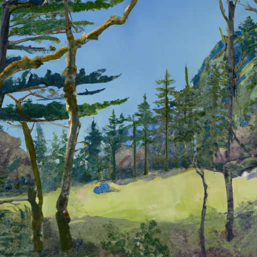
1. Scenic Beauty: Tillamook State Forest boasts breathtaking landscapes, including lush green forests, sparkling rivers, and panoramic views. Visitors can enjoy the serenity and natural splendor of the Pacific Northwest.
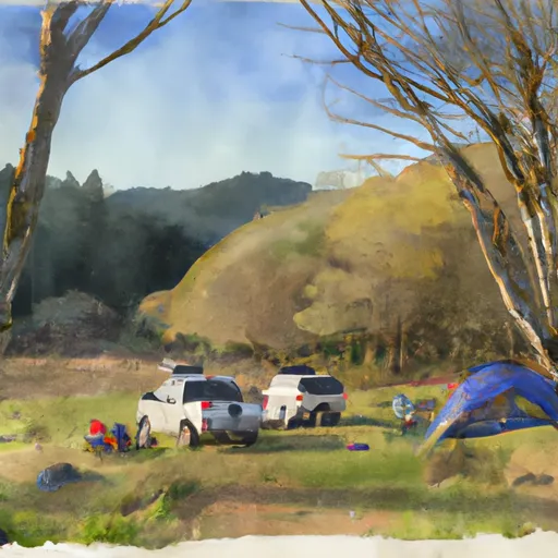
2. Outdoor Activities: The forest offers a plethora of recreational activities, such as hiking, camping, mountain biking, fishing, hunting, horseback riding, and off-roading. There are numerous trails, picnic areas, and campsites to explore.
3. Wildlife Viewing: The forest is home to a variety of wildlife species, including elk, deer, black bears, cougars, and a variety of bird species. Animal enthusiasts can spot these creatures in their natural habitat.
4. Educational Opportunities: The Tillamook Forest Center provides educational exhibits and programs to learn about the forest's ecosystem, wildlife, and historical significance.
Points of Interest:
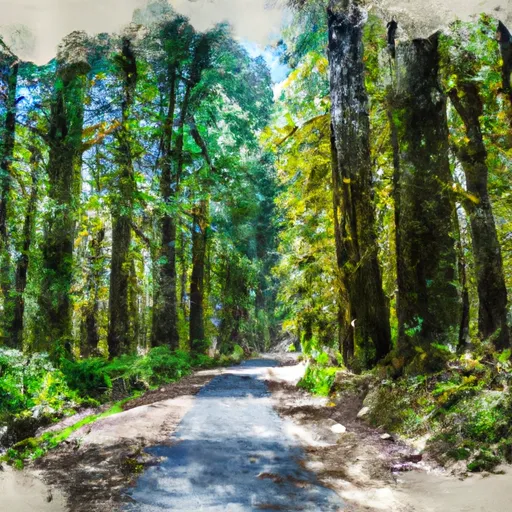
1. Gales Creek Trail: This scenic trail offers a refreshing hiking experience, winding through old-growth forests, crossing picturesque bridges, and leading to stunning waterfalls.
2. Tillamook Forest Center: A visitor center that provides interactive exhibits, informative displays, and guided tours to educate visitors about the forest's history, ecosystem, and restoration efforts.
3. Wilson River Trail: A popular hiking and biking trail that runs parallel to the picturesque Wilson River, offering breathtaking views, ancient trees, and occasional encounters with wildlife.
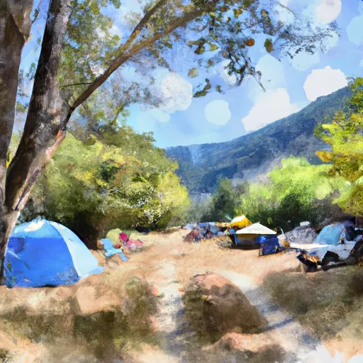
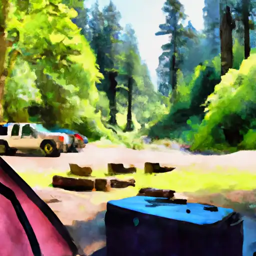
4. Rogers Camp: A campground located within the forest, offering camping facilities, picnic areas, and access to various trails.
Interesting Facts:
1. Tillamook State Forest was initially established as a reforestation project in the early 1900s after a massive forest fire devastated the area.
2. The forest covers an extensive area of approximately 364,000 acres, making it one of the largest state forests in Oregon.
3. The forest is known for its productive timberland, marked by the growth of Douglas fir, western red cedar, and western hemlock trees.
4. Tillamook State Forest is part of the Tillamook Burn, a series of large wildfires that occurred between 1933 and 1951, dramatically shaping the landscape.
Best Time to Visit:
The best time to visit Tillamook State Forest is during the summer months, particularly from June to September when the weather is generally mild and dry. This period offers ideal conditions for outdoor activities, including hiking, camping, and mountain biking. However, visitors should be prepared for rain as Oregon's wet climate can result in showers throughout the year. It is advisable to check weather forecasts and trail conditions before planning a visit.
Please note that while efforts have been made to ensure the accuracy of this summary, it is always recommended to verify information across multiple independent sources for the most up-to-date and accurate details.
Snowpack in Tillamook State Forest
Current snow depth at SNOTEL stations inside the park boundary.
Trails in Tillamook State Forest
Named trails whose route falls inside the park.
Camping in Tillamook State Forest
Campgrounds inside the park, with today's conditions score.

Plan your visit down to the hour
Same weather feed Snoflo's iOS app uses -- updated continuously from NOAA / yr.no.
Next 5 days, hour by hour
Temperature line with weather symbols on top, snow + rain accumulation as columns, humidity as a dotted line.
5-day forecast table
Every 3 hours, broken out across temperature, snow, rain, humidity, and wind.
| Time | Condition | Temp (°F) | Snow (in) | Rain (in) | Humidity (%) | Wind (mps) | Wind dir |
|---|---|---|---|---|---|---|---|
| Loading detailed forecast… | |||||||
15-day temperature & precipitation
Daily temperatures, snow, and rain projected over the next two weeks.
Responsible recreation & Leave No Trace
- Know before you go
- Check the operator's site for hours, permit requirements, seasonal closures, and fire restrictions before heading out.
- Stay on trail
- Stick to marked paths to protect vegetation, prevent erosion, and avoid disturbing wildlife habitat.
- Respect wildlife
- Observe from a distance, never feed wildlife, and store food securely if camping is permitted on-site.
- Pack it in, pack it out
- Carry out all trash, food scraps, and gear. Many parks have limited or no trash service.
- Leave what you find
- Don't take rocks, plants, or artifacts. They make the park what it is for the next visitor.
Set push alerts in the Snoflo app
Save Tillamook State Forest as a favorite, set a custom threshold (precipitation, freezing temperatures, fire-restriction days), and the iOS app will push the moment conditions cross.
About Tillamook State Forest
What can I do at Tillamook State Forest?
Most Snoflo-tracked parks support hiking, picnicking, and wildlife viewing. Check the operator's site for activity-specific rules (camping, fishing, paddling, hunting).
How fresh is the weather data?
The hourly forecast updates throughout the day from NOAA / yr.no. Streamflow comes live from USGS streamgauges.
When is the best time to visit?
Use the 15-day temperature & precipitation outlook on this page to plan -- pick a window with comfortable temperatures and low precipitation.
How do I get to Tillamook State Forest?
Tap Directions in the hero above to open driving directions in Google Maps, or Open in map to center the Snoflo interactive map on the park.
Can I get alerts when conditions change?
Yes -- alerts are managed in the Snoflo iOS app. Favorite this park, set a threshold (temperature, precipitation), and you'll get a push the moment it crosses.
Park & land designation reference
A quick legend for the federal and state land categories Snoflo tracks. Each designation comes with different rules around access, recreation, and resource extraction.
- National Park
- Large protected natural areas managed by the federal government to preserve significant landscapes, ecosystems, and cultural resources; recreation is allowed but conservation is the priority.
- State Park
- Public natural or recreational areas managed by a state government, typically smaller than national parks and focused on regional natural features, recreation, and education.
- Local Park
- Community-level parks managed by cities or counties, emphasizing recreation, playgrounds, sports, and green space close to populated areas.
- Wilderness Area
- The highest level of land protection in the U.S.; designated areas where nature is left essentially untouched, with no roads, structures, or motorized motorized access permitted.
- National Recreation Area
- Areas set aside primarily for outdoor recreation (boating, hiking, fishing, often around reservoirs, rivers, or scenic landscapes); may allow more development.
- National Conservation Area (BLM)
- BLM-managed areas with special ecological, cultural, or scientific value; more protection than typical BLM land but less strict than Wilderness Areas.
- State Forest
- State-managed forests focused on habitat, watershed, recreation, and sustainable timber harvest.
- Bureau of Land Management (BLM) Land
- Vast federal lands managed for mixed use -- recreation, grazing, mining, conservation -- with fewer restrictions than national parks or forests.