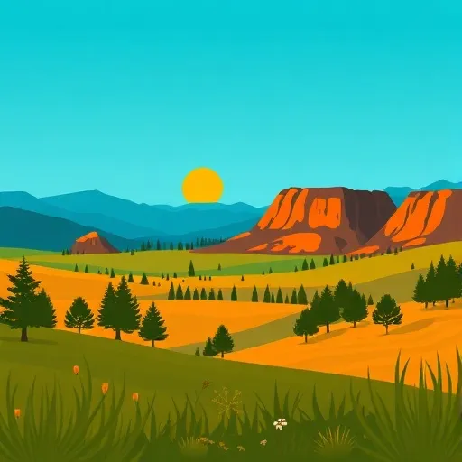
Wallowa-Whitman National Forest
Community Reviews
Been here? Share the conditions.
Reviews, ratings & photos are added in the free Snoflo iOS app — rate a spot, tag the conditions, and your visit is verified by location. Add or manage your reviews from the app.
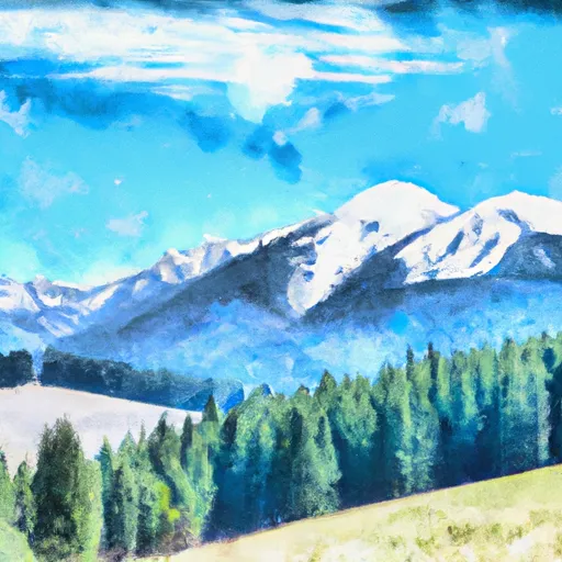
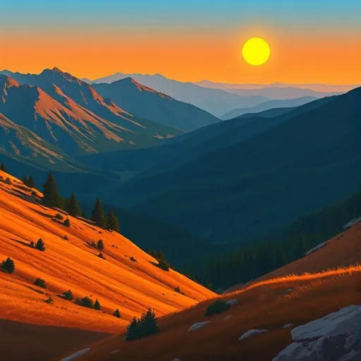
Wallowa-Whitman National Forest
Reasons to Visit:
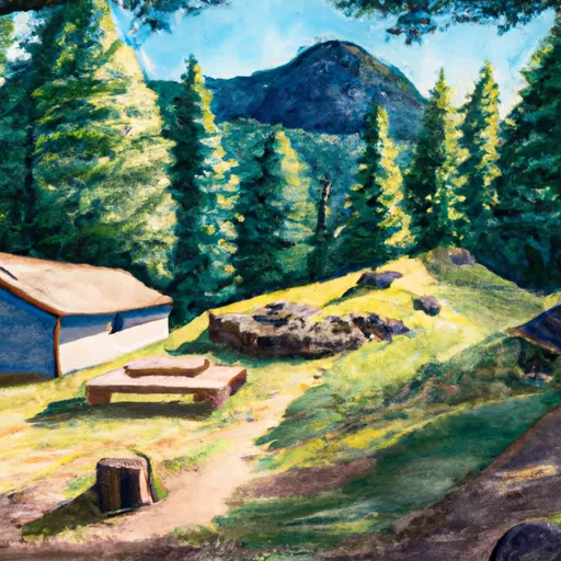
1. Scenic Beauty: The Wallowa-Whitman National Forest is renowned for its stunning landscapes, including rugged mountains, deep canyons, pristine lakes, and cascading rivers. The diversity of natural scenery makes it a paradise for outdoor enthusiasts and nature lovers.
2. Outdoor Activities: The forest provides numerous opportunities for outdoor activities, such as hiking, backpacking, camping, fishing, hunting, horseback riding, and wildlife viewing. With over 2,700 miles of trails, visitors can explore the forest's vast wilderness.
3. Wilderness Areas: The Wallowa-Whitman National Forest is home to several designated wilderness areas, including Eagle Cap Wilderness and Hells Canyon Wilderness. These protected areas preserve the unspoiled beauty of nature and offer unparalleled solitude for those seeking a true wilderness experience.
4. Historic Sites and Cultural Heritage: The forest has historical significance, with remnants of ancient Native American settlements and pioneer-era homesteads. Visitors can learn about the region's rich cultural heritage by exploring the interpretive sites and historic landmarks scattered throughout the forest.
Points of Interest:
1. Eagle Cap Wilderness: This stunning wilderness area encompasses high alpine lakes, towering granite peaks, and pristine meadows. It offers endless opportunities for backpacking, fishing, and wildlife viewing, including the chance to spot elk, bears, and mountain goats.
2. Hells Canyon National Recreation Area: Known as North America's deepest river gorge, Hells Canyon is a dramatic landscape of rugged cliffs and the wild, untamed Snake River. Visitors can enjoy river rafting, jet boating, or hiking the trails that wind along the canyon rim.
3. Wallowa Lake: Located on the eastern edge of the forest, Wallowa Lake is a popular destination for boating, fishing, and camping. The lake is surrounded by the majestic Wallowa Mountains, often referred to as the "Alps of Oregon."
4. Sumpter Valley Dredge State Heritage Area: This historic gold mining site showcases one of the last remaining gold dredges in the United States. Visitors can tour the dredge, learn about the gold rush era, and explore the surrounding area's rich history.
Interesting Facts:
1. The Wallowa-Whitman National Forest is named after the Wallowa and Whitman mountain ranges that dominate the landscape.
2. The forest is home to some rare and endangered species, such as the Rocky Mountain elk, gray wolf, and the threatened bull trout.
3. The Eagle Cap Wilderness within the forest is the largest wilderness area in Oregon, covering approximately 362,000 acres.
4. The forest's diverse ecosystems range from high mountain peaks to arid canyons, supporting a wide variety of plant and animal species.
Best Time to Visit:
The best time to visit the Wallowa-Whitman National Forest depends on the specific activities and experiences you seek. Generally, summer (June to August) is the peak season when the weather is mild, and trails are more accessible. However, visitors should be prepared for occasional thunderstorms and crowded campgrounds. Spring (April to May) and fall (September to October) offer cooler temperatures, vibrant fall foliage, and fewer crowds. Winter (November to March) is ideal for those interested in snow sports, including skiing, snowshoeing, and snowmobiling. It's important to note that specific weather conditions and road accessibility may vary, so it's recommended to check with the forest service or visitor centers for the most up-to-date information.
Sources:
- "Wallowa-Whitman National Forest" - U.S. Forest Service
- "Wallowa-Whitman National Forest" - Visit Eastern Oregon
- "Wallowa-Whitman National Forest" - Travel Oregon
Streamflow in Wallowa-Whitman National Forest
Live USGS discharge at streamgauges inside the park boundary.
Snowpack in Wallowa-Whitman National Forest
Current snow depth at SNOTEL stations inside the park boundary.
Trails in Wallowa-Whitman National Forest
Named trails whose route falls inside the park.
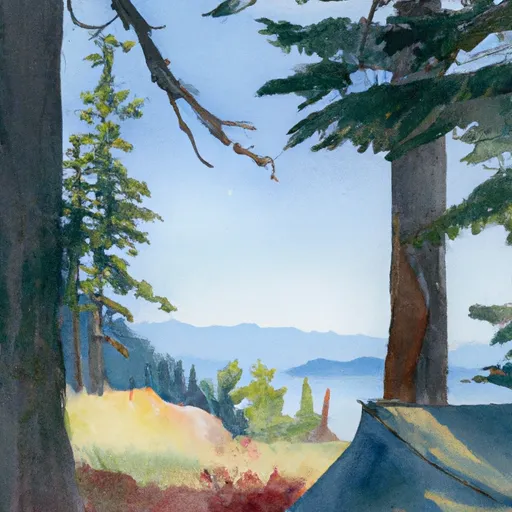
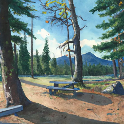
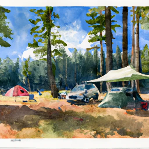
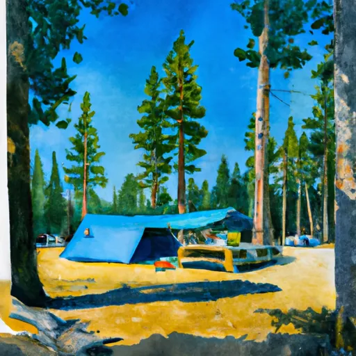
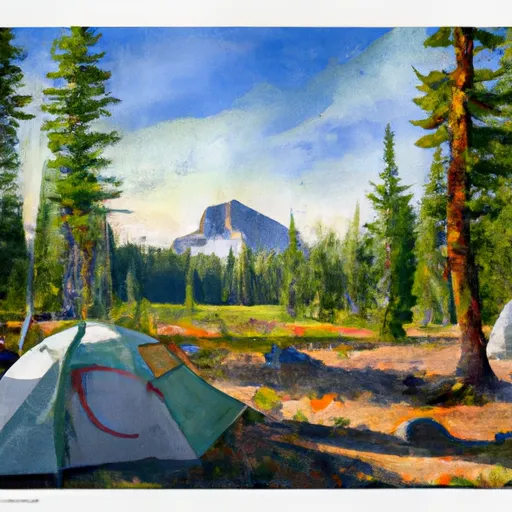
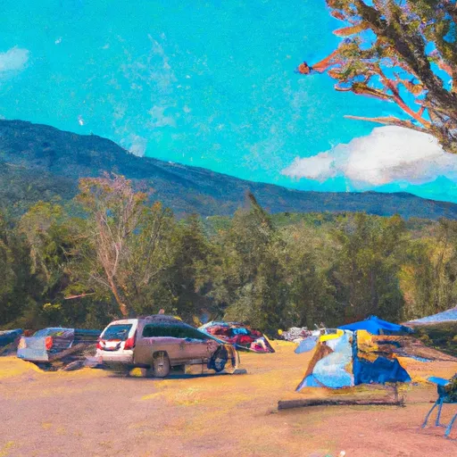
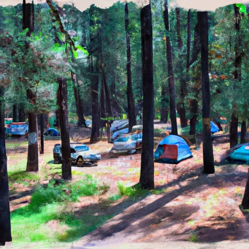
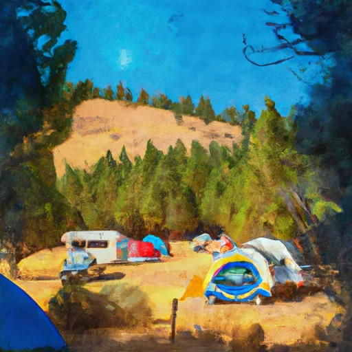
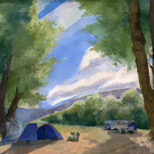
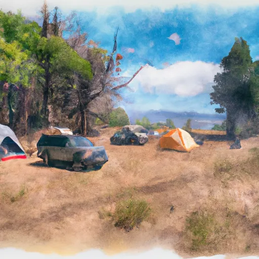
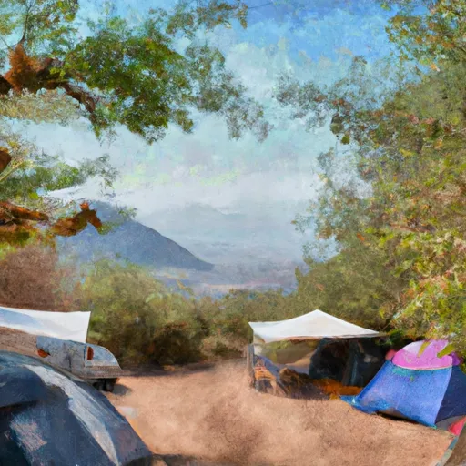
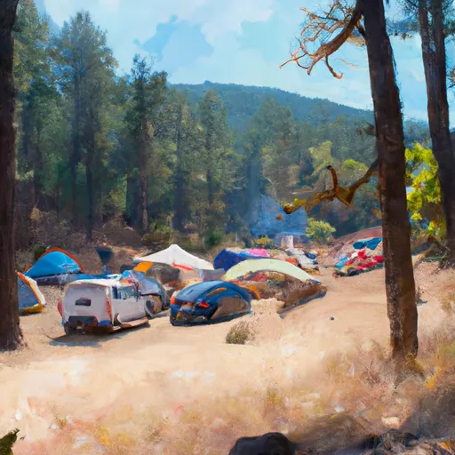
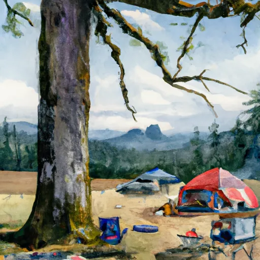
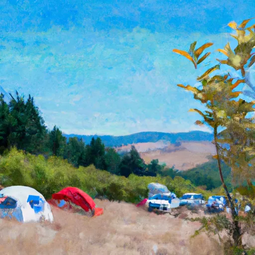
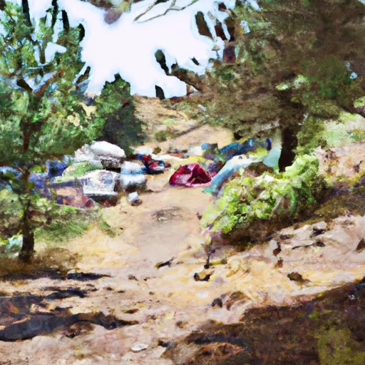
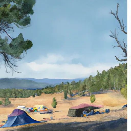
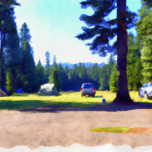
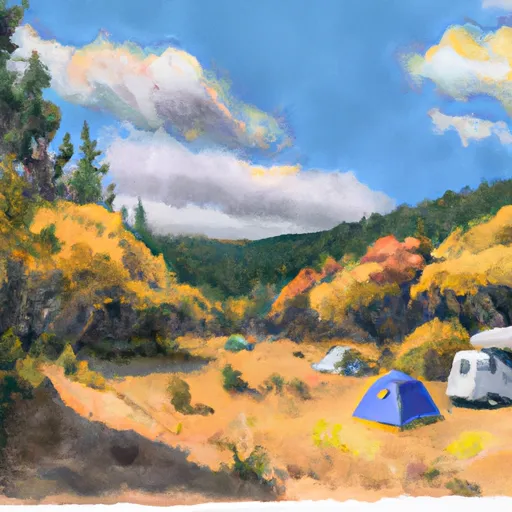
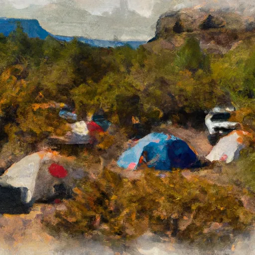
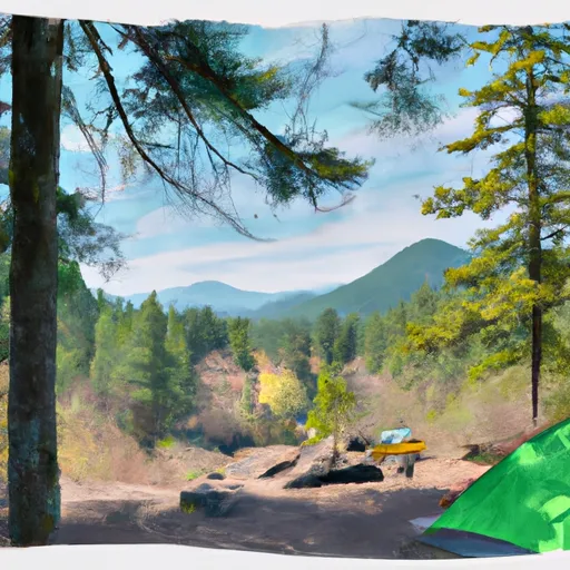
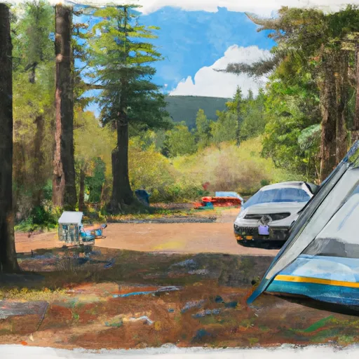
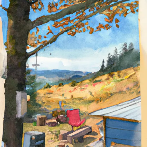
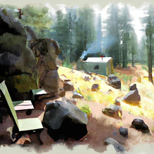
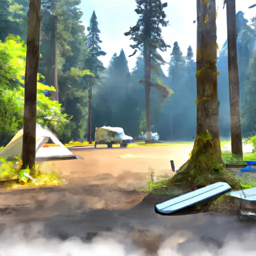
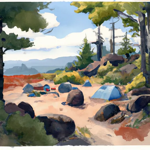
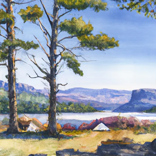
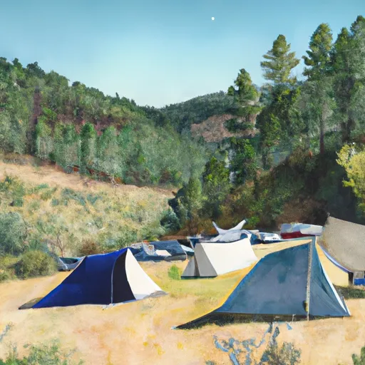
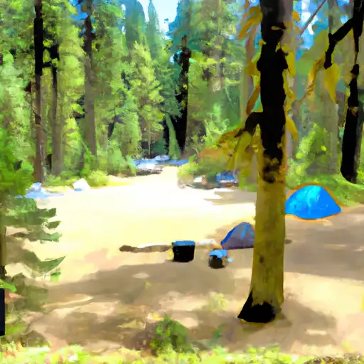
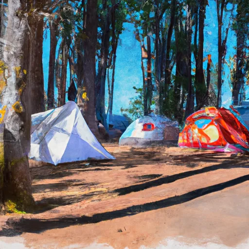
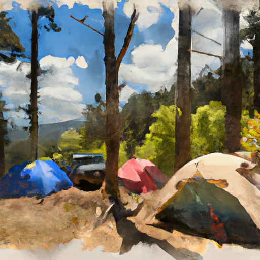
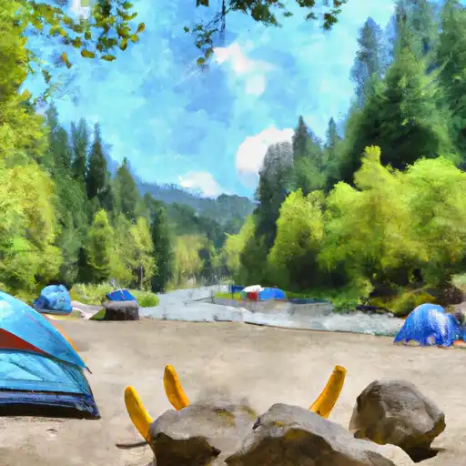
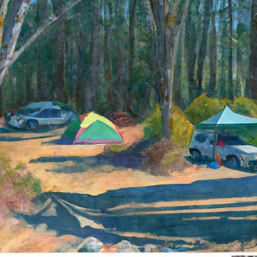
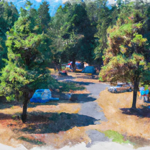
Camping in Wallowa-Whitman National Forest
Campgrounds inside the park, with today's conditions score.

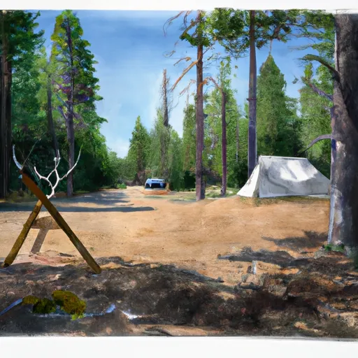
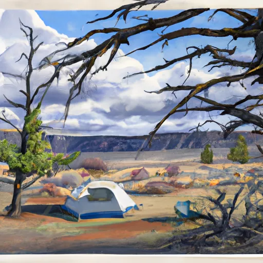


Points of interest in Wallowa-Whitman National Forest
Landmarks and points of interest inside the park boundary.


Plan your visit down to the hour
Same weather feed Snoflo's iOS app uses -- updated continuously from NOAA / yr.no.
Next 5 days, hour by hour
Temperature line with weather symbols on top, snow + rain accumulation as columns, humidity as a dotted line.
5-day forecast table
Every 3 hours, broken out across temperature, snow, rain, humidity, and wind.
| Time | Condition | Temp (°F) | Snow (in) | Rain (in) | Humidity (%) | Wind (mps) | Wind dir |
|---|---|---|---|---|---|---|---|
| Loading detailed forecast… | |||||||
15-day temperature & precipitation
Daily temperatures, snow, and rain projected over the next two weeks.
Responsible recreation & Leave No Trace
- Know before you go
- Check the operator's site for hours, permit requirements, seasonal closures, and fire restrictions before heading out.
- Stay on trail
- Stick to marked paths to protect vegetation, prevent erosion, and avoid disturbing wildlife habitat.
- Respect wildlife
- Observe from a distance, never feed wildlife, and store food securely if camping is permitted on-site.
- Pack it in, pack it out
- Carry out all trash, food scraps, and gear. Many parks have limited or no trash service.
- Leave what you find
- Don't take rocks, plants, or artifacts. They make the park what it is for the next visitor.
Set push alerts in the Snoflo app
Save Wallowa-Whitman National Forest as a favorite, set a custom threshold (precipitation, freezing temperatures, fire-restriction days), and the iOS app will push the moment conditions cross.
About Wallowa-Whitman National Forest
What can I do at Wallowa-Whitman National Forest?
Most Snoflo-tracked parks support hiking, picnicking, and wildlife viewing. Check the operator's site for activity-specific rules (camping, fishing, paddling, hunting).
How fresh is the weather data?
The hourly forecast updates throughout the day from NOAA / yr.no. Streamflow comes live from USGS streamgauges.
When is the best time to visit?
Use the 15-day temperature & precipitation outlook on this page to plan -- pick a window with comfortable temperatures and low precipitation.
How do I get to Wallowa-Whitman National Forest?
Tap Directions in the hero above to open driving directions in Google Maps, or Open in map to center the Snoflo interactive map on the park.
Can I get alerts when conditions change?
Yes -- alerts are managed in the Snoflo iOS app. Favorite this park, set a threshold (temperature, precipitation), and you'll get a push the moment it crosses.
Park & land designation reference
A quick legend for the federal and state land categories Snoflo tracks. Each designation comes with different rules around access, recreation, and resource extraction.
- National Park
- Large protected natural areas managed by the federal government to preserve significant landscapes, ecosystems, and cultural resources; recreation is allowed but conservation is the priority.
- State Park
- Public natural or recreational areas managed by a state government, typically smaller than national parks and focused on regional natural features, recreation, and education.
- Local Park
- Community-level parks managed by cities or counties, emphasizing recreation, playgrounds, sports, and green space close to populated areas.
- Wilderness Area
- The highest level of land protection in the U.S.; designated areas where nature is left essentially untouched, with no roads, structures, or motorized motorized access permitted.
- National Recreation Area
- Areas set aside primarily for outdoor recreation (boating, hiking, fishing, often around reservoirs, rivers, or scenic landscapes); may allow more development.
- National Conservation Area (BLM)
- BLM-managed areas with special ecological, cultural, or scientific value; more protection than typical BLM land but less strict than Wilderness Areas.
- State Forest
- State-managed forests focused on habitat, watershed, recreation, and sustainable timber harvest.
- Bureau of Land Management (BLM) Land
- Vast federal lands managed for mixed use -- recreation, grazing, mining, conservation -- with fewer restrictions than national parks or forests.