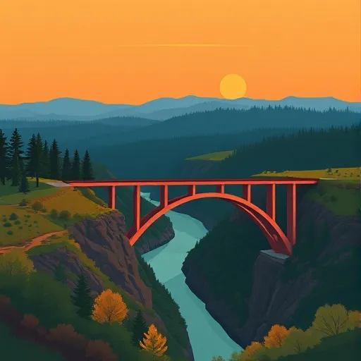
Willamette National Forest
Community Reviews
Been here? Share the conditions.
Reviews, ratings & photos are added in the free Snoflo iOS app — rate a spot, tag the conditions, and your visit is verified by location. Add or manage your reviews from the app.
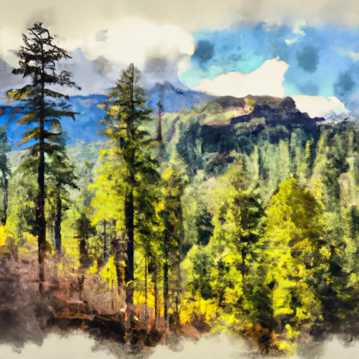
Willamette National Forest
Reasons to Visit:
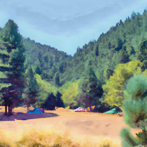
1. Scenic Beauty: Willamette National Forest is renowned for its awe-inspiring landscapes, including rugged mountains, lush forests, sparkling lakes, and cascading waterfalls.
2. Outdoor Recreation: The forest provides numerous opportunities for outdoor enthusiasts, such as hiking, camping, fishing, boating, wildlife viewing, birdwatching, mountain biking, and winter sports like skiing and snowboarding.
3. Wilderness Areas: Willamette National Forest boasts several designated wilderness areas, offering solitude and a chance to explore untouched landscapes. Popular options include Mount Jefferson, Three Sisters, Diamond Peak, and Waldo Lake Wilderness areas.
Points of Interest:
1. McKenzie River Trail: This 26-mile trail follows the crystal-clear McKenzie River, offering stunning views of waterfalls, lava fields, and old-growth forests. It is perfect for hiking, mountain biking, or horseback riding.
2. Opal Creek Wilderness: This forested area features ancient trees, crystal-clear swimming holes, and the mesmerizing Opal Pool. Visitors can hike through this enchanting landscape and explore the historic mining town of Jawbone Flats.
3. Willamette Pass Ski Resort: This ski resort, located in the forest, provides winter sports enthusiasts with excellent skiing and snowboarding opportunities in a beautiful alpine setting.
Interesting Facts:
1. The forest covers over 1.6 million acres, making it one of the largest national forests in Oregon.
2. Willamette National Forest encompasses parts of several mountain ranges, including the Cascade Range, Coast Range, and Oregon’s southernmost section of the Willamette Valley.
3. The forest is home to a diverse range of flora and fauna, including Douglas firs, Western hemlocks, Roosevelt elk, black bears, and bald eagles.
Best Time to Visit:
The best time to visit Willamette National Forest largely depends on the activities you seek. For hiking and camping, the summer months (June to September) offer warm weather and less chance of rain. Spring (April to June) is ideal for witnessing wildflowers in bloom, while fall (September to October) showcases stunning autumn foliage. Winter (December to March) is perfect for snow sports enthusiasts, as several areas within the forest offer excellent skiing and snowboarding conditions.
To ensure accuracy, it is advisable to cross-reference information from multiple independent sources such as the official website of Willamette National Forest, travel guides, and other reputable sources.
Streamflow in Willamette National Forest
Live USGS discharge at streamgauges inside the park boundary.
Snowpack in Willamette National Forest
Current snow depth at SNOTEL stations inside the park boundary.
Trails in Willamette National Forest
Named trails whose route falls inside the park.
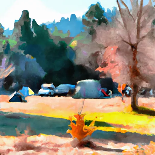
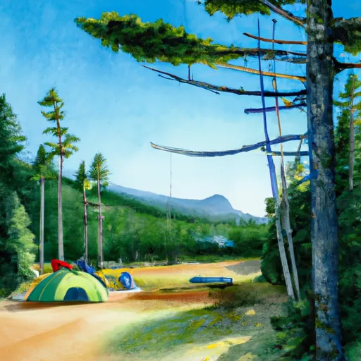
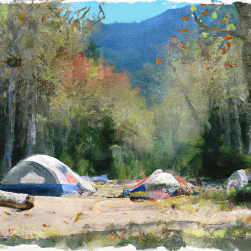
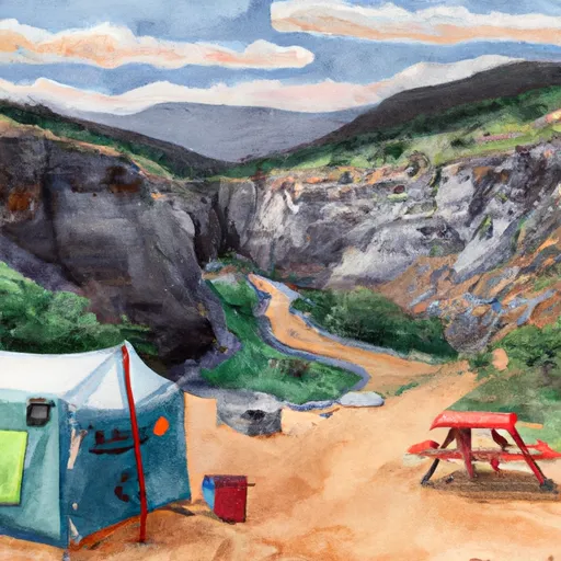
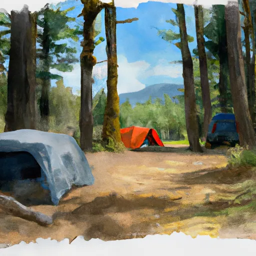
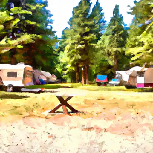
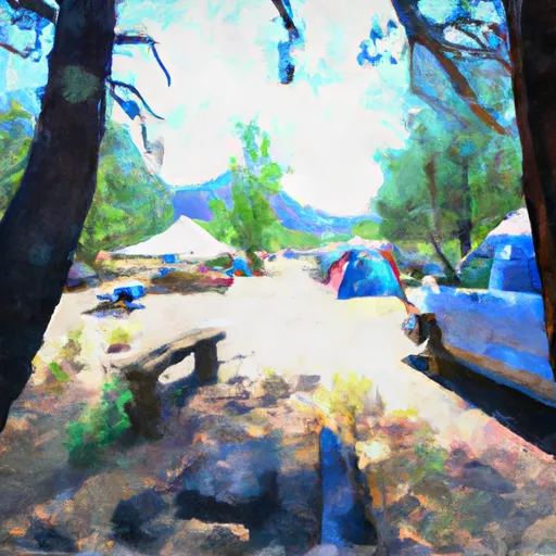
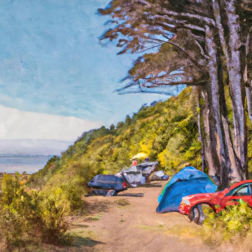
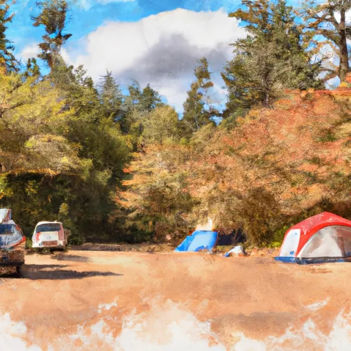
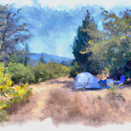
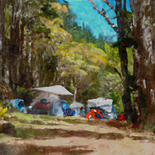
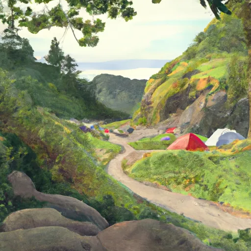
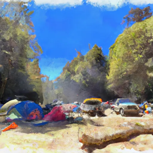
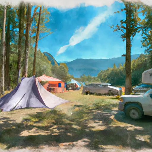
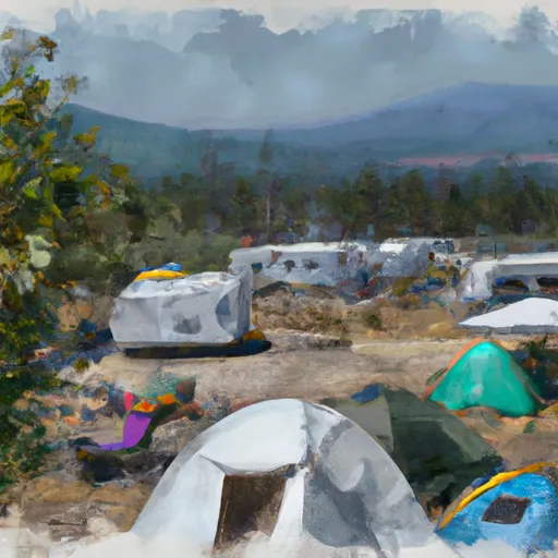
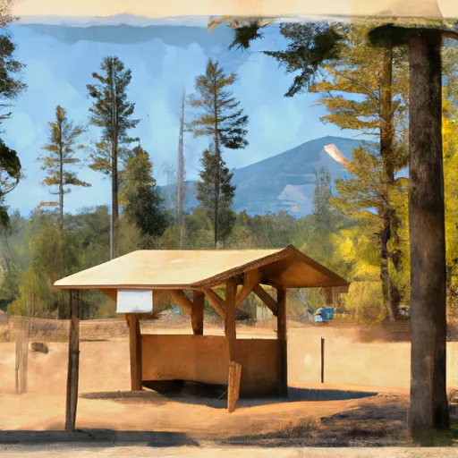
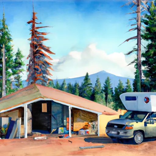
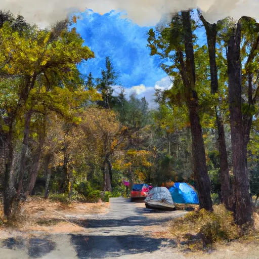
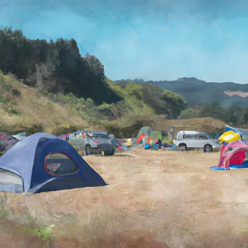
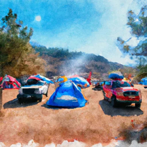
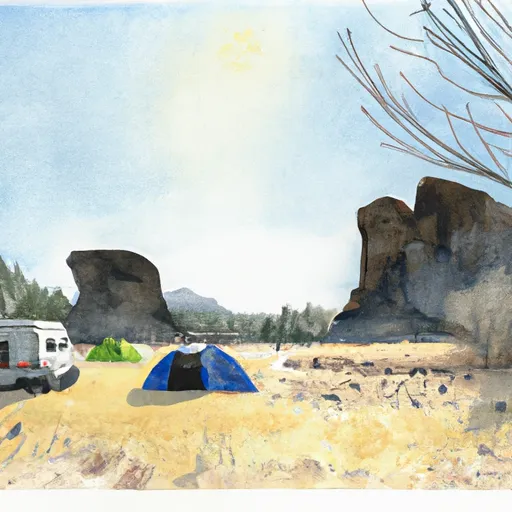
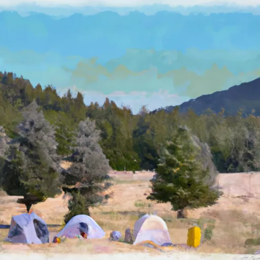
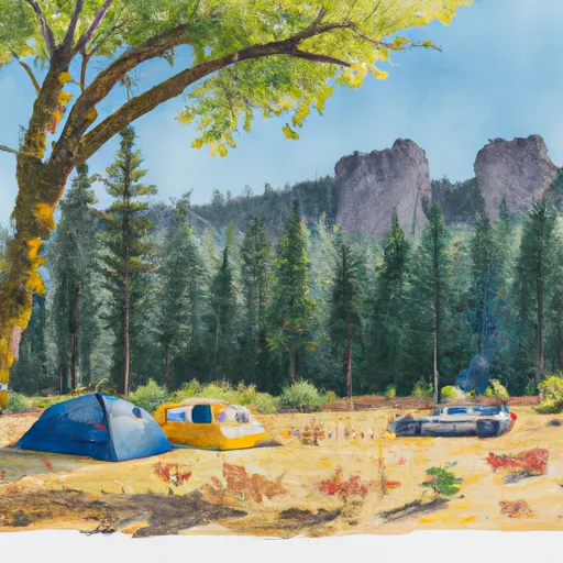
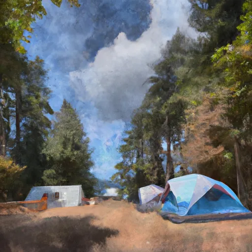
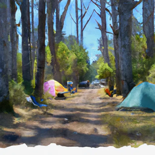
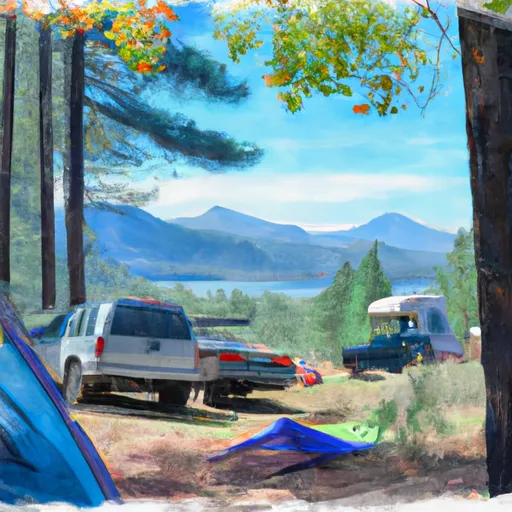
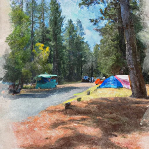
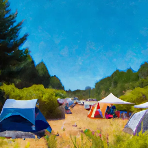
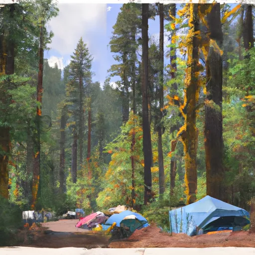
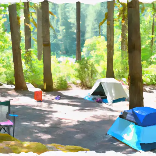
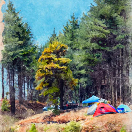
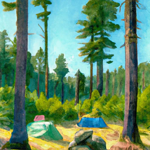
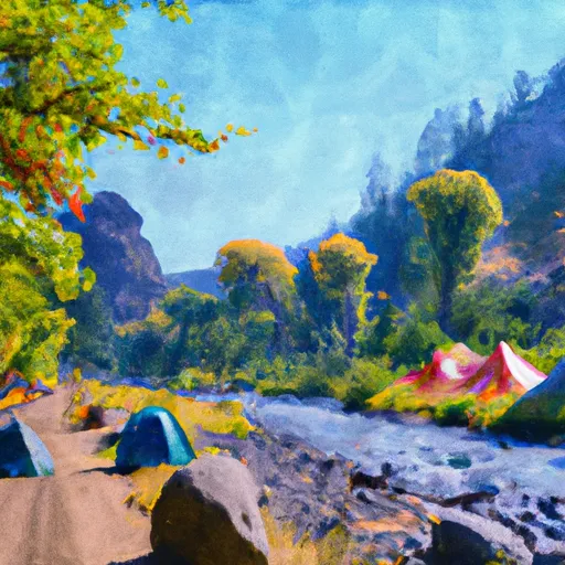
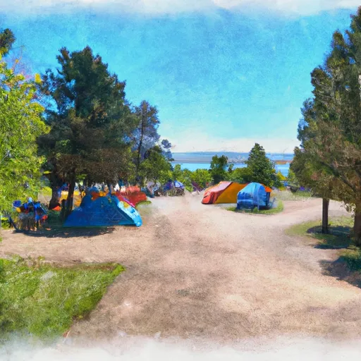
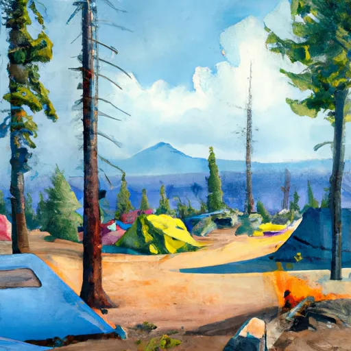
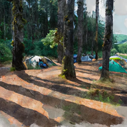
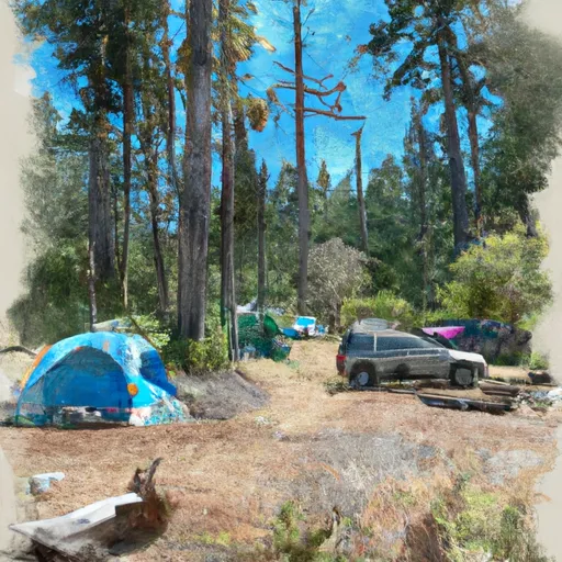
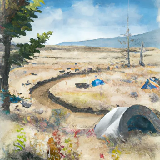
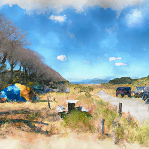
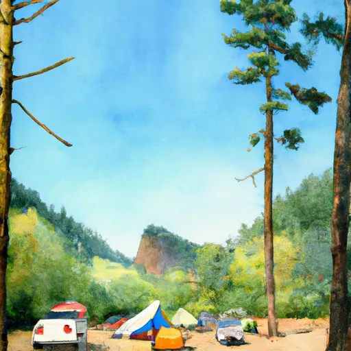
Camping in Willamette National Forest
Campgrounds inside the park, with today's conditions score.
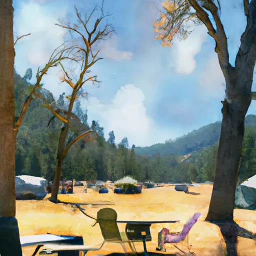


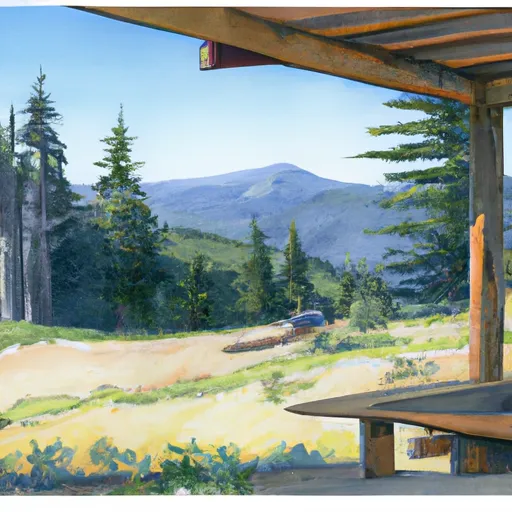

Points of interest in Willamette National Forest
Landmarks and points of interest inside the park boundary.


Plan your visit down to the hour
Same weather feed Snoflo's iOS app uses -- updated continuously from NOAA / yr.no.
Next 5 days, hour by hour
Temperature line with weather symbols on top, snow + rain accumulation as columns, humidity as a dotted line.
5-day forecast table
Every 3 hours, broken out across temperature, snow, rain, humidity, and wind.
| Time | Condition | Temp (°F) | Snow (in) | Rain (in) | Humidity (%) | Wind (mps) | Wind dir |
|---|---|---|---|---|---|---|---|
| Loading detailed forecast… | |||||||
15-day temperature & precipitation
Daily temperatures, snow, and rain projected over the next two weeks.
Responsible recreation & Leave No Trace
- Know before you go
- Check the operator's site for hours, permit requirements, seasonal closures, and fire restrictions before heading out.
- Stay on trail
- Stick to marked paths to protect vegetation, prevent erosion, and avoid disturbing wildlife habitat.
- Respect wildlife
- Observe from a distance, never feed wildlife, and store food securely if camping is permitted on-site.
- Pack it in, pack it out
- Carry out all trash, food scraps, and gear. Many parks have limited or no trash service.
- Leave what you find
- Don't take rocks, plants, or artifacts. They make the park what it is for the next visitor.
Set push alerts in the Snoflo app
Save Willamette National Forest as a favorite, set a custom threshold (precipitation, freezing temperatures, fire-restriction days), and the iOS app will push the moment conditions cross.
About Willamette National Forest
What can I do at Willamette National Forest?
Most Snoflo-tracked parks support hiking, picnicking, and wildlife viewing. Check the operator's site for activity-specific rules (camping, fishing, paddling, hunting).
How fresh is the weather data?
The hourly forecast updates throughout the day from NOAA / yr.no. Streamflow comes live from USGS streamgauges.
When is the best time to visit?
Use the 15-day temperature & precipitation outlook on this page to plan -- pick a window with comfortable temperatures and low precipitation.
How do I get to Willamette National Forest?
Tap Directions in the hero above to open driving directions in Google Maps, or Open in map to center the Snoflo interactive map on the park.
Can I get alerts when conditions change?
Yes -- alerts are managed in the Snoflo iOS app. Favorite this park, set a threshold (temperature, precipitation), and you'll get a push the moment it crosses.
Park & land designation reference
A quick legend for the federal and state land categories Snoflo tracks. Each designation comes with different rules around access, recreation, and resource extraction.
- National Park
- Large protected natural areas managed by the federal government to preserve significant landscapes, ecosystems, and cultural resources; recreation is allowed but conservation is the priority.
- State Park
- Public natural or recreational areas managed by a state government, typically smaller than national parks and focused on regional natural features, recreation, and education.
- Local Park
- Community-level parks managed by cities or counties, emphasizing recreation, playgrounds, sports, and green space close to populated areas.
- Wilderness Area
- The highest level of land protection in the U.S.; designated areas where nature is left essentially untouched, with no roads, structures, or motorized motorized access permitted.
- National Recreation Area
- Areas set aside primarily for outdoor recreation (boating, hiking, fishing, often around reservoirs, rivers, or scenic landscapes); may allow more development.
- National Conservation Area (BLM)
- BLM-managed areas with special ecological, cultural, or scientific value; more protection than typical BLM land but less strict than Wilderness Areas.
- State Forest
- State-managed forests focused on habitat, watershed, recreation, and sustainable timber harvest.
- Bureau of Land Management (BLM) Land
- Vast federal lands managed for mixed use -- recreation, grazing, mining, conservation -- with fewer restrictions than national parks or forests.