Summary
It is approximately 30 feet wide and has ample space for parking vehicles and trailers. The boat ramp provides access to Diamond Lake, which is a 3,000-acre lake known for its crystal clear waters and excellent fishing opportunities.
According to the latest information available, the South Shore - Diamond Lake boat ramp allows for motorized watercraft, including boats, jet skis, and other personal watercraft. However, there are restrictions on the size and horsepower of boats that are permitted on the lake.
Diamond Lake is a popular destination for anglers, particularly those seeking rainbow trout, brown trout, and kokanee salmon. The lake is also a popular spot for recreational boating, swimming, and other water sports.
Overall, the South Shore - Diamond Lake boat ramp is a well-maintained facility that provides easy access to a beautiful and popular body of water in Oregon.
°F
°F
mph
Wind
%
Humidity
15-Day Weather Outlook
5-Day Hourly Forecast Detail
Area Streamflow Levels
River Runs
-
 Headwaters To Rogue-Umpqua Wilderness Boundary
-
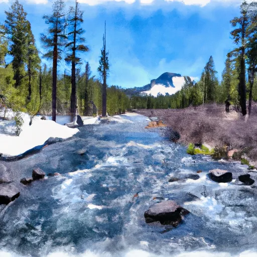 Mt. Thielsen Wilderness Boundary To Maidu Lake
-
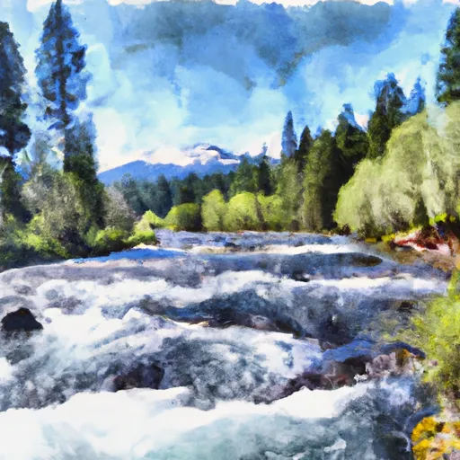 Lemolo Lake To Oregon Cacades Recreation Area Boundary
-
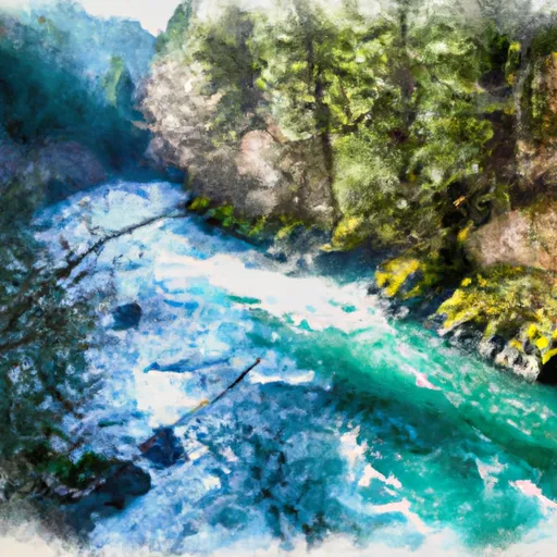 Rogue-Umpqua Wilderness Boundary To Confluence With North Fork Rogue River
-
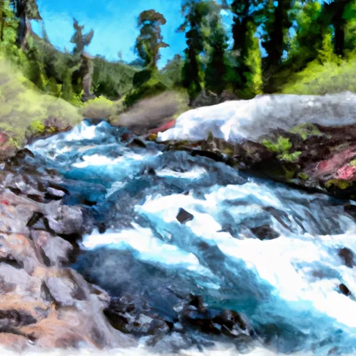 Oregon Cascades Recreation Area Boundary To Mt. Thielsen Wilderness Boundary

 South Shore - Diamond Lake