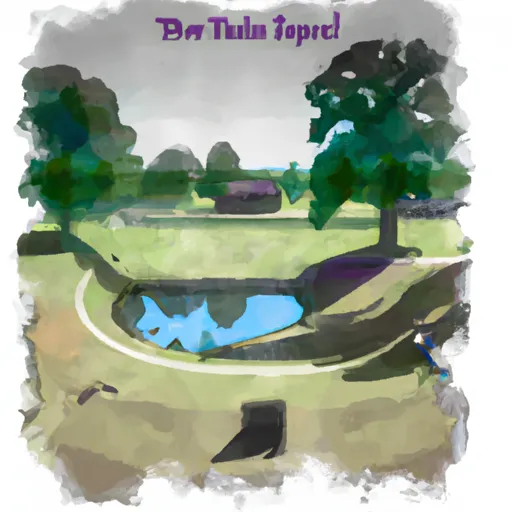
Sycamore Shoals State Historic Park
Community Reviews
Been here? Share the conditions.
Reviews, ratings & photos are added in the free Snoflo iOS app — rate a spot, tag the conditions, and your visit is verified by location. Add or manage your reviews from the app.
Sycamore Shoals State Historic Park
Reasons to Visit:
1. Historical Significance: Sycamore Shoals played a crucial role in American history, serving as a gathering place and frontier outpost during the late 18th century. The park commemorates significant events such as the Transylvania Purchase, the Watauga Association, and the Overmountain Men's historic march to the Battle of Kings Mountain.
2. Cultural Exhibits: The park boasts various museums and interpretive exhibits that showcase the history and culture of the region. The Visitor Center offers displays with artifacts, dioramas, and interactive exhibits that bring the past to life.
3. Outdoor Recreation: Sycamore Shoals State Historic Park provides ample opportunities for outdoor activities. Visitors can explore the scenic nature trails, have picnics in designated areas, fish in the Watauga River, or enjoy a leisurely stroll along the riverbank.
4. Events and Festivals: Throughout the year, the park hosts numerous events and festivals that celebrate the area's history and culture. These include reenactments, living history demonstrations, heritage festivals, and special exhibits.
Points of Interest:
1. Fort Watauga: A reconstructed fort that portrays the daily lives of settlers and soldiers during the frontier era. The fort offers guided tours, interpretive exhibits, and occasional demonstrations of historic activities.
2. Carter Mansion: A beautifully preserved, Georgian-style house built in 1775. It is the oldest frame house in Tennessee and provides guided tours that delve into the lives of its original owners, the influential Carter family.
3. The Overmountain Victory Trail: This trail commemorates the revolutionary march of the Overmountain Men, who gathered at Sycamore Shoals before embarking on a historic campaign during the American Revolution.
4. Native American Heritage: The park recognizes the presence of Native American tribes in the region. The interpretive exhibits highlight their culture, as well as the significant role they played in the area's history.
Interesting Facts:
1. Sycamore Shoals served as the capital of the short-lived State of Franklin in the late 18th century.
2. The park is home to the annual Siege of Fort Watauga, a reenactment event that attracts history enthusiasts from all over.
3. The Watauga River, which borders the park, was a vital transportation route during the frontier era.
Best Time to Visit:
The best time to visit Sycamore Shoals State Historic Park is during the spring and fall seasons when the weather is mild and pleasant. Spring offers beautiful blooms and vibrant foliage, while fall showcases stunning autumn colors. It is advisable to check the park's official website or contact the visitor center for up-to-date information on operating hours, events, and any seasonal closures.
Please note that while efforts have been made to ensure accuracy, it is always recommended to consult official sources and multiple independent references for the most reliable and current information.
Trails in Sycamore Shoals State Historic Park
Named trails whose route falls inside the park.
Points of interest in Sycamore Shoals State Historic Park
Landmarks and points of interest inside the park boundary.

Plan your visit down to the hour
Same weather feed Snoflo's iOS app uses -- updated continuously from NOAA / yr.no.
Next 5 days, hour by hour
Temperature line with weather symbols on top, snow + rain accumulation as columns, humidity as a dotted line.
5-day forecast table
Every 3 hours, broken out across temperature, snow, rain, humidity, and wind.
| Time | Condition | Temp (°F) | Snow (in) | Rain (in) | Humidity (%) | Wind (mps) | Wind dir |
|---|---|---|---|---|---|---|---|
| Loading detailed forecast… | |||||||
15-day temperature & precipitation
Daily temperatures, snow, and rain projected over the next two weeks.
Responsible recreation & Leave No Trace
- Know before you go
- Check the operator's site for hours, permit requirements, seasonal closures, and fire restrictions before heading out.
- Stay on trail
- Stick to marked paths to protect vegetation, prevent erosion, and avoid disturbing wildlife habitat.
- Respect wildlife
- Observe from a distance, never feed wildlife, and store food securely if camping is permitted on-site.
- Pack it in, pack it out
- Carry out all trash, food scraps, and gear. Many parks have limited or no trash service.
- Leave what you find
- Don't take rocks, plants, or artifacts. They make the park what it is for the next visitor.
Set push alerts in the Snoflo app
Save Sycamore Shoals State Historic Park as a favorite, set a custom threshold (precipitation, freezing temperatures, fire-restriction days), and the iOS app will push the moment conditions cross.
About Sycamore Shoals State Historic Park
What can I do at Sycamore Shoals State Historic Park?
Most Snoflo-tracked parks support hiking, picnicking, and wildlife viewing. Check the operator's site for activity-specific rules (camping, fishing, paddling, hunting).
How fresh is the weather data?
The hourly forecast updates throughout the day from NOAA / yr.no. Streamflow comes live from USGS streamgauges.
When is the best time to visit?
Use the 15-day temperature & precipitation outlook on this page to plan -- pick a window with comfortable temperatures and low precipitation.
How do I get to Sycamore Shoals State Historic Park?
Tap Directions in the hero above to open driving directions in Google Maps, or Open in map to center the Snoflo interactive map on the park.
Can I get alerts when conditions change?
Yes -- alerts are managed in the Snoflo iOS app. Favorite this park, set a threshold (temperature, precipitation), and you'll get a push the moment it crosses.
Park & land designation reference
A quick legend for the federal and state land categories Snoflo tracks. Each designation comes with different rules around access, recreation, and resource extraction.
- National Park
- Large protected natural areas managed by the federal government to preserve significant landscapes, ecosystems, and cultural resources; recreation is allowed but conservation is the priority.
- State Park
- Public natural or recreational areas managed by a state government, typically smaller than national parks and focused on regional natural features, recreation, and education.
- Local Park
- Community-level parks managed by cities or counties, emphasizing recreation, playgrounds, sports, and green space close to populated areas.
- Wilderness Area
- The highest level of land protection in the U.S.; designated areas where nature is left essentially untouched, with no roads, structures, or motorized motorized access permitted.
- National Recreation Area
- Areas set aside primarily for outdoor recreation (boating, hiking, fishing, often around reservoirs, rivers, or scenic landscapes); may allow more development.
- National Conservation Area (BLM)
- BLM-managed areas with special ecological, cultural, or scientific value; more protection than typical BLM land but less strict than Wilderness Areas.
- State Forest
- State-managed forests focused on habitat, watershed, recreation, and sustainable timber harvest.
- Bureau of Land Management (BLM) Land
- Vast federal lands managed for mixed use -- recreation, grazing, mining, conservation -- with fewer restrictions than national parks or forests.