Wilderness Blackjack Springs
Leave a RatingLast Updated: February 19, 2026
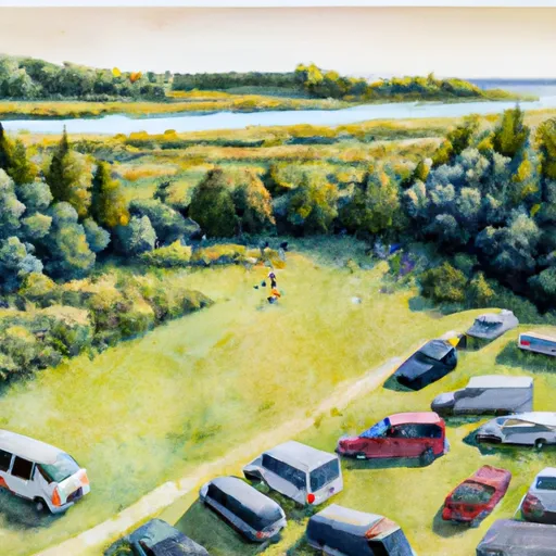
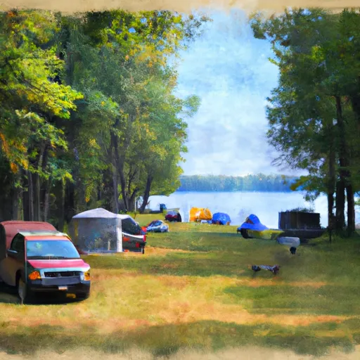
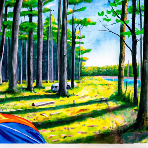
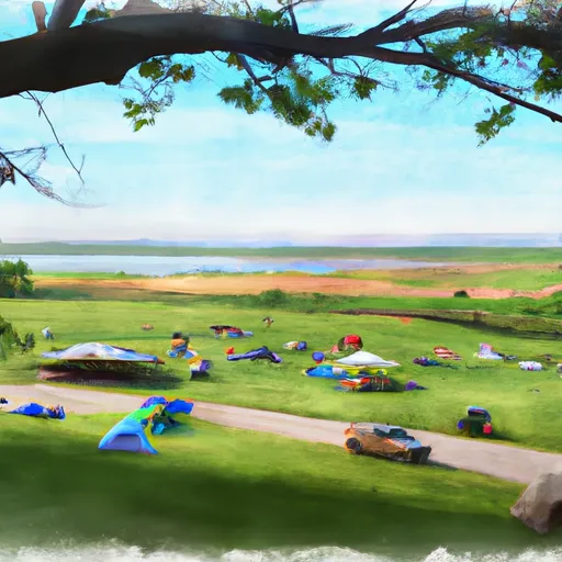
Wilderness Blackjack Springs is a scenic natural area located in the state of Wisconsin, offering visitors a range of attractions and activities.
Summary
This summary combines information from various independent sources to provide an accurate overview.
Reasons to Visit:
1. Natural Beauty: Wilderness Blackjack Springs boasts breathtaking landscapes, including dense forests, serene rivers, and impressive waterfalls, making it an ideal destination for nature enthusiasts and photographers.
2. Hiking and Recreation: The area offers an extensive network of hiking trails, varying in difficulty, allowing visitors to explore the wilderness, observe wildlife, and enjoy outdoor recreational activities like birdwatching, fishing, and camping.
3. Unique Geological Features: One of the highlights of the area is the Blackjack Springs Wilderness, a designated state natural area, which boasts natural springs, unique rock formations, and ancient lava flows, making it an excellent spot for geology enthusiasts.
4. Wildlife Viewing: Visitors may have the chance to spot a variety of wildlife, including whitetail deer, black bears, foxes, otters, and numerous bird species, providing ample opportunities for wildlife photography and observation.
Points of Interest:
1. Blackjack Springs: The namesake of the wilderness area, Blackjack Springs, is a fascinating feature where natural springs emerge from the ground, creating small streams that flow into the nearby river.
2. Bond Falls: Located nearby, Bond Falls is a stunning waterfall, cascading over a series of rocky steps, and is a popular spot for photographers due to its picturesque beauty.
3. Forested Trails: The area offers several well-marked and maintained trails, such as the North Country National Scenic Trail, which traverses the wilderness, providing hikers with opportunities to explore the diverse forests and enjoy scenic vistas.
Interesting Facts:
1. Wilderness Designation: The Blackjack Springs Wilderness was designated as a state natural area to preserve its unique geological features, diverse plant life, and vital wildlife habitat.
2. Glacial Influence: The landscape in this region was shaped by the last glacial period, which left behind various landforms, including drumlins, eskers, and kettles, adding to the area's geological significance.
3. Historical Significance: The surrounding region was once home to Native American tribes, including the Ojibwe and Menominee, who relied on the area's abundant natural resources and considered it sacred.
Best Time to Visit:
The best time to visit Wilderness Blackjack Springs is during the spring and summer months (May to September). This period offers pleasant weather for outdoor activities, blooming wildflowers, and a higher chance of spotting wildlife. However, visitors should be aware of the possibility of encountering mosquitoes and ticks, especially in the more wooded areas, and take appropriate precautions. It's also worth noting that autumn (September to November) offers stunning fall foliage, making it another popular time to visit.
Please note that it's always advisable to consult updated and official sources for the most accurate and current information before planning a visit to Wilderness Blackjack Springs in Wisconsin.
°F
°F
mph
Wind
%
Humidity
15-Day Weather Outlook
5-Day Hourly Forecast Detail
Park & Land Designation Reference
Large protected natural areas managed by the federal government to preserve significant landscapes, ecosystems, and cultural resources; recreation is allowed but conservation is the priority.
State Park
Public natural or recreational areas managed by a state government, typically smaller than national parks and focused on regional natural features, recreation, and education.
Local Park
Community-level parks managed by cities or counties, emphasizing recreation, playgrounds, sports, and green space close to populated areas.
Wilderness Area
The highest level of land protection in the U.S.; designated areas where nature is left essentially untouched, with no roads, structures, or motorized access permitted.
National Recreation Area
Areas set aside primarily for outdoor recreation (boating, hiking, fishing), often around reservoirs, rivers, or scenic landscapes; may allow more development.
National Conservation Area (BLM)
BLM-managed areas with special ecological, cultural, or scientific value; more protection than typical BLM land but less strict than Wilderness Areas.
State Forest
State-managed forests focused on habitat, watershed, recreation, and sustainable timber harvest.
National Forest
Federally managed lands focused on multiple use—recreation, wildlife habitat, watershed protection, and resource extraction (like timber)—unlike the stricter protections of national parks.
Wilderness
A protected area set aside to conserve specific resources—such as wildlife, habitats, or scientific features—with regulations varying widely depending on the managing agency and purpose.
Bureau of Land Management (BLM) Land
Vast federal lands managed for mixed use—recreation, grazing, mining, conservation—with fewer restrictions than national parks or forests.
Related References

 Anvil Lake Recreation Area
 Seven Mile Lake Campground
 Franklin Lake Recreation Area
 Luna White Deer Campground
 Luna - White Deer Lake Recreation Area
 Spectacle Lake Recreation Area Campgrounds