Arkansas Points of Interest

East Fork Wilderness


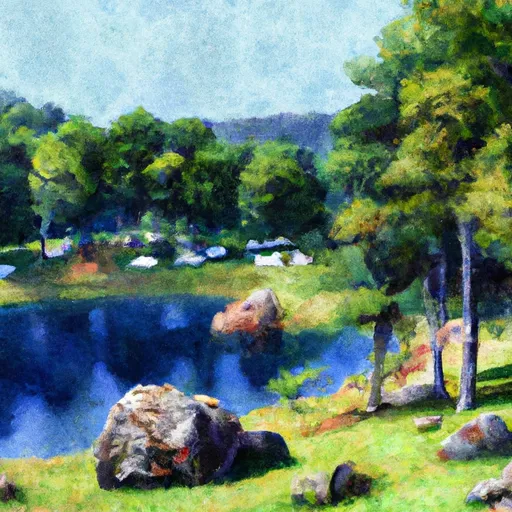
The East Fork Wilderness takes its name from the East Fork of the Illinois Bayou, which bisects the wilderness from the northeast to southwest. The Area encompasses 10,777 acres along the southern edge of the Boston Mountains. East Fork's terrain is characterized by flat or gently rounded ridges separated by hollows with very steep slopes of sheer rock walls. The elevation ranges from 800- 1,600 ft. The most unique feature of East Fork Wilderness is the presence of 3 upland ponds. These areas have exposed standing water during wet weather months and support plant communities normally encountered only in bottomlands. Some of the most beautiful scenery can be found by following the hollows upward from the creek. Waterfalls from a few feet to 20 feet high are common in these hollows. In some places the creeks are bordered by high, sheer sandstone bluffs. White oak, red oak and hickory are the principal hardwoods. Hiking is a popular recreational activity in this wilderness, as well as horseback riding.


EAST FORK WILDERNESS

Points of Interest
Location
East Fork Wilderness
Hurricane Creek Wilderness

Nearby Camping
Location Campsites Reservations Toilets Showers Elevation
Buck Creek - Bull Shoals Lake Numerous 724 ft
Lake Sylvia 27 704 ft
Petit Jean State Park Numerous 900 ft
Sequoya Park 14 306 ft
Lake Claiborne State Park Numerous 337 ft
Tyler Bend - Buffalo National River Numerous 614 ft
Point Remove Park 16 281 ft
Bennett Spring State Park Numerous 880 ft
Corney Lake Complex 25 121 ft
Highway 125 - Bull Shoals Lake Numerous 707 ft
Lake Catherine State Park Numerous 396 ft
Cherokee Numerous 277 ft
Lead Hill - Bull Shoals Lake Numerous 678 ft
Bayou Bluff 28 634 ft
Versailles City Park Numerous 990 ft
Richland Creek 13 1,034 ft
Turkey Trot Complex 25 261 ft

Nearby Streamflow Levels

Gauge Streamflow
North Fork River Near Tecumseh
USGS 07057500
1,080 cfs
Little Sac River Near Morrisville
USGS 06918740
4,770 cfs
Bull Creek Near Walnut Shade
USGS 07053810
7,160 cfs
South Fork Dry Sac River Near Springfield
USGS 06918493
460 cfs
James River At Galena
USGS 07052500
10,200 cfs
Beaver Creek At Bradleyville
USGS 07054080
15,800 cfs
Roubidoux Creek Above Ft. Leonard Wood
USGS 06928300
784 cfs
Snotel Site Snowpack 24hr Change