Wilderness San Jacinto
Community Reviews
Been here? Share the conditions.
Reviews, ratings & photos are added in the free Snoflo iOS app — rate a spot, tag the conditions, and your visit is verified by location. Add or manage your reviews from the app.

Wilderness San Jacinto
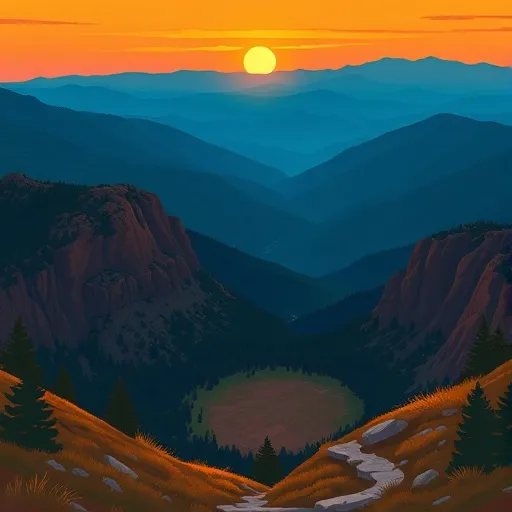
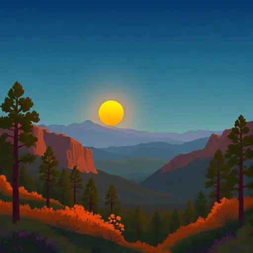
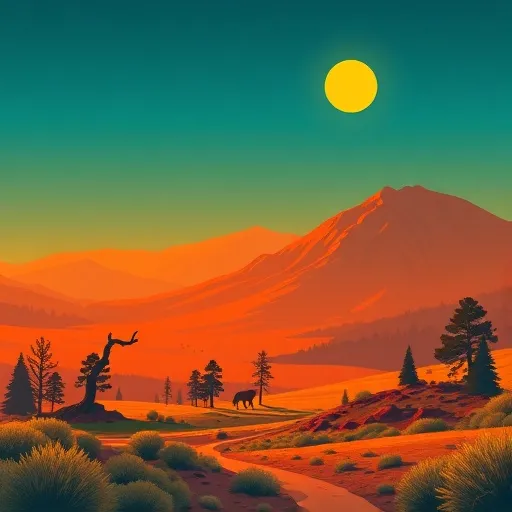
One of the main reasons to visit Wilderness San Jacinto is its natural beauty. The area encompasses towering mountains, lush forests, and scenic valleys, making it a paradise for hikers, climbers, and nature lovers. The peak of San Jacinto Mountain, standing at 10,834 feet (3,302 meters), offers breathtaking panoramic views of the surrounding area.
The wilderness area is also home to an impressive range of plant and animal species. Visitors can encounter diverse wildlife, including deer, black bears, mountain lions, and various bird species. The region's unique vegetation features a mix of chaparral, conifer forests, and alpine meadows, creating a rich and diverse ecosystem.
Several specific points of interest within Wilderness San Jacinto are worth exploring. The Palm Springs Aerial Tramway, located nearby, allows visitors to enjoy a scenic ride to the top of San Jacinto Mountain, providing access to hiking trails and magnificent vistas. The Pacific Crest Trail, a long-distance hiking trail stretching from Mexico to Canada, passes through the area, offering opportunities for adventurous backpacking trips.
Interesting facts about the area include its historical significance. The Cahuilla Native American tribe, known for their rich culture and deep connection to the land, have inhabited the region for centuries. The area was also a popular retreat for Hollywood celebrities during the mid-20th century, seeking an escape from the hustle and bustle of Los Angeles.
The best time of year to visit Wilderness San Jacinto largely depends on personal preferences and planned activities. Spring and fall are generally considered the most pleasant seasons, with mild temperatures and blooming wildflowers. Summer can be hot, especially at lower elevations, but higher elevations offer cooler temperatures and relief from the heat. Winter brings snowfall to the mountains, making it a popular time for winter sports such as skiing and snowboarding.
To ensure accuracy, it's essential to verify this information across multiple independent sources, such as official park websites, travel guides, and reputable outdoor recreation organizations.
Trails in Wilderness San Jacinto
Named trails whose route falls inside the park.
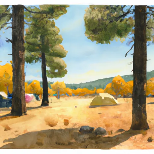
Camping in Wilderness San Jacinto
Campgrounds inside the park, with today's conditions score.

Points of interest in Wilderness San Jacinto
Landmarks and points of interest inside the park boundary.


Plan your visit down to the hour
Same weather feed Snoflo's iOS app uses -- updated continuously from NOAA / yr.no.
Next 5 days, hour by hour
Temperature line with weather symbols on top, snow + rain accumulation as columns, humidity as a dotted line.
5-day forecast table
Every 3 hours, broken out across temperature, snow, rain, humidity, and wind.
| Time | Condition | Temp (°F) | Snow (in) | Rain (in) | Humidity (%) | Wind (mps) | Wind dir |
|---|---|---|---|---|---|---|---|
| Loading detailed forecast… | |||||||
15-day temperature & precipitation
Daily temperatures, snow, and rain projected over the next two weeks.
Responsible recreation & Leave No Trace
- Know before you go
- Check the operator's site for hours, permit requirements, seasonal closures, and fire restrictions before heading out.
- Stay on trail
- Stick to marked paths to protect vegetation, prevent erosion, and avoid disturbing wildlife habitat.
- Respect wildlife
- Observe from a distance, never feed wildlife, and store food securely if camping is permitted on-site.
- Pack it in, pack it out
- Carry out all trash, food scraps, and gear. Many parks have limited or no trash service.
- Leave what you find
- Don't take rocks, plants, or artifacts. They make the park what it is for the next visitor.
Set push alerts in the Snoflo app
Save Wilderness San Jacinto as a favorite, set a custom threshold (precipitation, freezing temperatures, fire-restriction days), and the iOS app will push the moment conditions cross.
About Wilderness San Jacinto
What can I do at Wilderness San Jacinto?
Most Snoflo-tracked parks support hiking, picnicking, and wildlife viewing. Check the operator's site for activity-specific rules (camping, fishing, paddling, hunting).
How fresh is the weather data?
The hourly forecast updates throughout the day from NOAA / yr.no. Streamflow comes live from USGS streamgauges.
When is the best time to visit?
Use the 15-day temperature & precipitation outlook on this page to plan -- pick a window with comfortable temperatures and low precipitation.
How do I get to Wilderness San Jacinto?
Tap Directions in the hero above to open driving directions in Google Maps, or Open in map to center the Snoflo interactive map on the park.
Can I get alerts when conditions change?
Yes -- alerts are managed in the Snoflo iOS app. Favorite this park, set a threshold (temperature, precipitation), and you'll get a push the moment it crosses.
Park & land designation reference
A quick legend for the federal and state land categories Snoflo tracks. Each designation comes with different rules around access, recreation, and resource extraction.
- National Park
- Large protected natural areas managed by the federal government to preserve significant landscapes, ecosystems, and cultural resources; recreation is allowed but conservation is the priority.
- State Park
- Public natural or recreational areas managed by a state government, typically smaller than national parks and focused on regional natural features, recreation, and education.
- Local Park
- Community-level parks managed by cities or counties, emphasizing recreation, playgrounds, sports, and green space close to populated areas.
- Wilderness Area
- The highest level of land protection in the U.S.; designated areas where nature is left essentially untouched, with no roads, structures, or motorized motorized access permitted.
- National Recreation Area
- Areas set aside primarily for outdoor recreation (boating, hiking, fishing, often around reservoirs, rivers, or scenic landscapes); may allow more development.
- National Conservation Area (BLM)
- BLM-managed areas with special ecological, cultural, or scientific value; more protection than typical BLM land but less strict than Wilderness Areas.
- State Forest
- State-managed forests focused on habitat, watershed, recreation, and sustainable timber harvest.
- Bureau of Land Management (BLM) Land
- Vast federal lands managed for mixed use -- recreation, grazing, mining, conservation -- with fewer restrictions than national parks or forests.