Summary
Weather Forecast
Area Campgrounds
| Location | Reservations | Toilets |
|---|---|---|
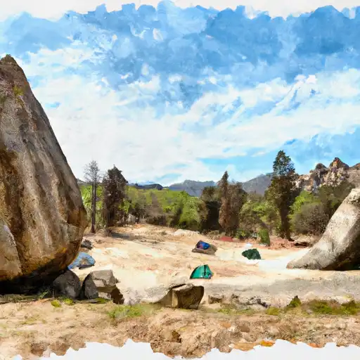 Buck Rock
|
||
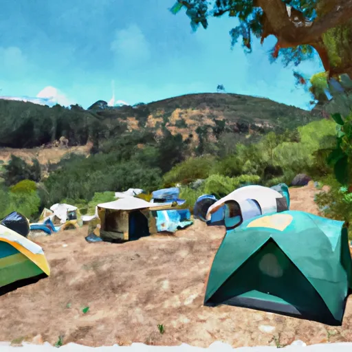 Buck Hill campsite
|
||
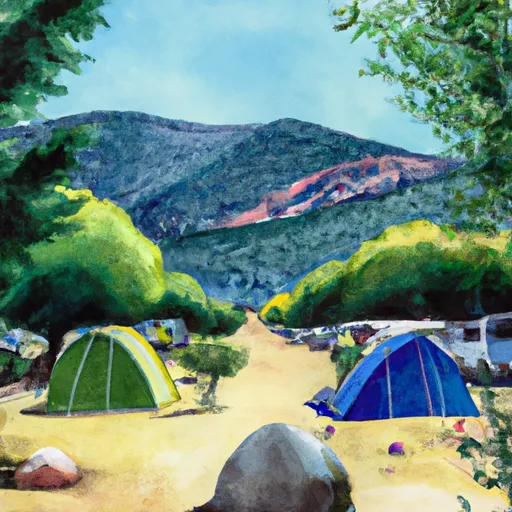 Buck Rock Campground
|
||
 pull off
|
||
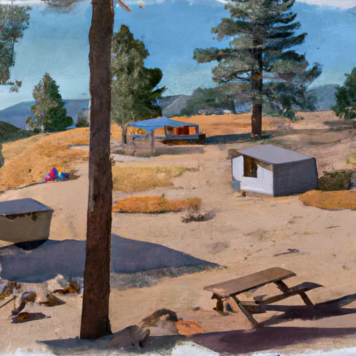 Big Meadow Cabin
|
||
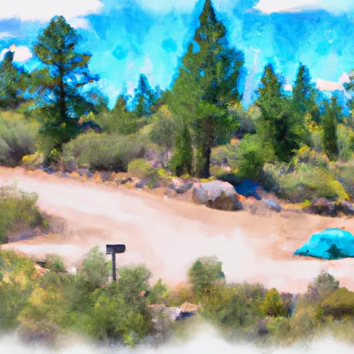 Eastern Big Meadow Road
|
| Location | Reservations | Toilets |
|---|---|---|
 Buck Rock
|
||
 Buck Hill campsite
|
||
 Buck Rock Campground
|
||
 pull off
|
||
 Big Meadow Cabin
|
||
 Eastern Big Meadow Road
|