California Points of Interest

Bucks Lake Wilderness


The Bucks Lake Wilderness was established by the California Wilderness Act of 1984.  The wilderness encompasses 21,000 acres, and is located near the northern end of the Sierra Nevada mountain range.

Topography

Elevations in the Bucks Lake Wilderness range from 2,000 ft. in the Feather River Canyon to 7,017 ft. at Spanish Peak.  The top of the escarpment which the Pacific Crest Trail (PCT) crosses unfolds a spectacular view of the forest to the east and north.  An impressive view of Mt. Lassen is visible on clear days.

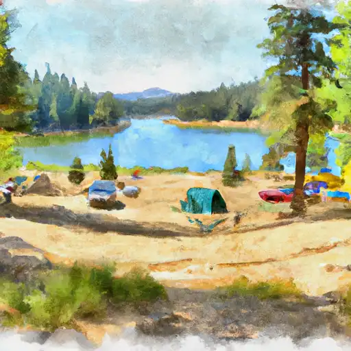
The Bucks Lake Wilderness has a broad diversity of topography and vegetation.  Ground cover varies from brush fields to conifer stands, oaks and pure red fir stands.  Several small lakes are scattered across the eastern portion of the Wilderness.  Along the western slope are small meadows and quaking bogs hidden among the dense stands of red fir.


BUCKS LAKE WILDERNESS
Campground Restrictions
No bicycles and motorized bikes in the wilderness area.

Points of Interest
Location
Almanor Overlook
Boiling Springs Lake
Bucks Lake Wilderness
Devil's Kitchen
Terminal Geyser

Nearby Camping
Location Campsites Reservations Toilets Showers Elevation
Rogers Cow Camp (Family ) 6 4,099 ft
Soldier Meadows 10 4,716 ft
Sundew 19 5,217 ft
Silver Lake (Family ) 7 5,778 ft
Little North Fork 6 3,807 ft
Hallsted 20 2,790 ft
Cool Springs 33 4,177 ft
Feather River/Rocky Point - Lake Almanor 131 4,535 ft
Queen Lily 12 2,456 ft
Rocky Point - Feather River 131 4,512 ft
Haskins Valley 38 5,174 ft
Almanor 103 4,560 ft
Gansner Bar 14 2,316 ft
Milsap Bar 20 1,639 ft
Ponderosa Flat 63 4,164 ft
Whitehorse 20 5,230 ft
Lower Bucks 7 5,054 ft

Nearby Streamflow Levels