Summary
This unique landmark is a large rock formation that resembles the shape of a monkey's paw, hence its name. The Monkey Paw is a popular destination for hikers and rock climbers due to its challenging terrain and stunning views. Visitors can also explore the surrounding area by hiking the nearby trails, bird watching, fishing, and boating on the Salton Sea. The Salton Sea is a saline lake that was formed in 1905 and is one of the largest inland seas in California. This unique ecosystem is home to a variety of species of fish and birds, making it a popular destination for nature enthusiasts.
In addition to its impressive geological formation and natural beauty, the Salton Sea watershed is also home to several small, quirky towns that offer a glimpse into California's unique history. The town of Slab City is a popular destination for visitors looking to experience a different kind of community. This off-the-grid community is home to artists, musicians, and free-spirited individuals who have built their own homes and created a self-sufficient community. Visitors can also explore the nearby town of Bombay Beach, which has a fascinating history as a former vacation destination turned ghost town. Overall, the Monkey Paw and the Salton Sea watershed offer visitors a chance to explore California's natural beauty and unique culture.
Hourly Weather Forecast
Area Campgrounds
| Location | Reservations | Toilets |
|---|---|---|
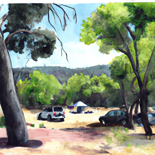 Buttercup Campground
|
||
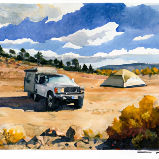 Buttercup OHV
|
||
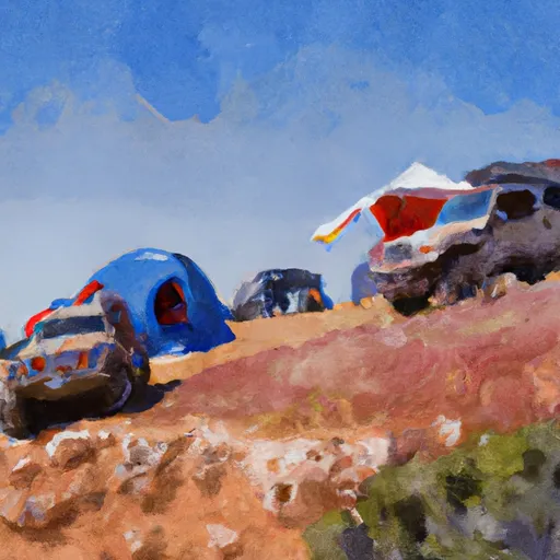 Midway  OHV
|
||
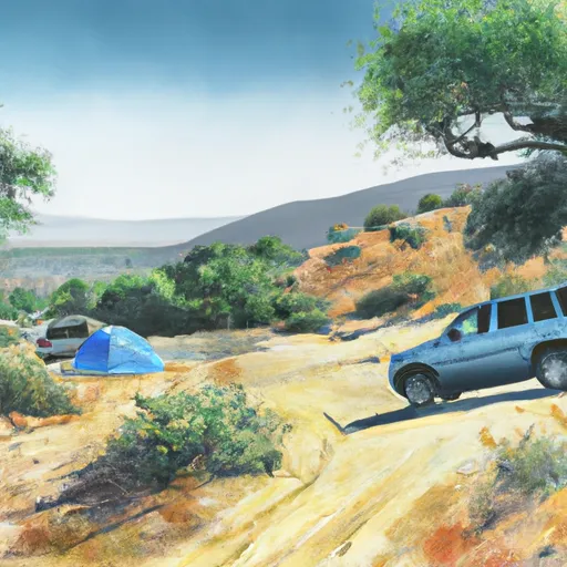 Grays Well OHV
|
||
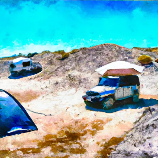 Dune Buggy Flats
|
||
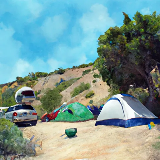 Grays Well Camping
|
