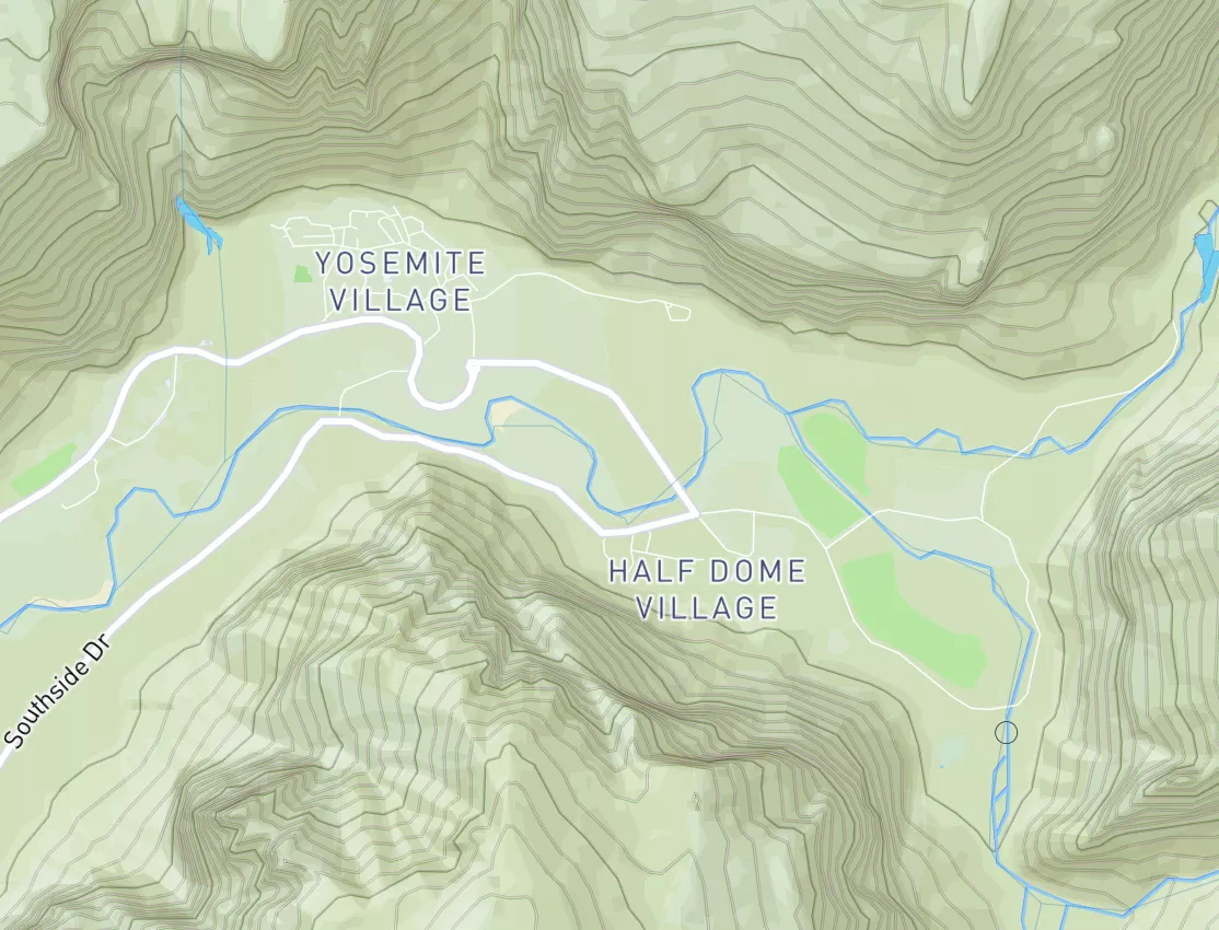
Summary
15-Day Long Term Forecast
5-Day Hourly Forecast Detail
Area Campgrounds
| Location | Reservations | Toilets |
|---|---|---|
 Minaret Falls Campground (Seasonal)
|
||
 Minaret Falls
|
||
 Minaret Falls Campground
|
||
 Reds Meadow Campground
|
||
 Reds Meadow Campground (Seasonal)
|
||
 Reds Meadow
|


 Owens River Headwaters Wilderness
 Mammoth Creek Community Park
 Trails End Park
 Mono Lake Tufa State Reserve
 Twin Lakes (Mammoth Lakes)
 Lake Mary Fishing Site
 Lake Mary
 Ediza Lake
 Deer Lakes
 Continue with Snoflo Premium