* WHAT...Snow expected. Total snow accumulations between 2 and 6 inches. Wind gusts as high as 35 mph. * WHERE...Eastern Magic Valley, Shoshone/Lava Beds, Arco/Mud Lake Desert, Lower Snake River Plain, and Upper Snake River Plain. * WHEN...Until 5 PM MST Friday. * IMPACTS...Roads, and especially bridges and overpasses, will likely become slick and hazardous. Travel could be very difficult. The hazardous conditions could impact the Thursday morning and evening commutes.
Windspeed
Humidity
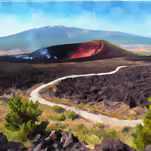
The Big Blowout Butte is a unique geological formation located in the Lake Walcott watershed of Idaho. It is a mesa-shaped landform that rises over 1,000 feet above the surrounding landscape and is made up of layers of volcanic ash and sedimentary rocks. The Big Blowout Butte offers breathtaking views of the surrounding area and is a popular destination for hikers and outdoor enthusiasts.
One of the main reasons to visit the Big Blowout Butte is to experience the stunning geological features and unique landscape. Visitors can hike to the top of the butte and enjoy panoramic views of the surrounding area, including the Snake River and the surrounding mountains. Additionally, the area is home to a variety of wildlife, including bighorn sheep, mule deer, and birds of prey. The Big Blowout Butte is a great destination for anyone interested in geology, hiking, or wildlife viewing and offers a unique and unforgettable experience.
Discharge | Stage | Elevation | |
ROCK CREEK NR AMERICAN FALLS ID
1990-09-30T23:55:00.000-06:00 |
4cfs | ft | 4238ft |
LOWER MILNER POWER PLANT PIPE 1 AT MILNER ID
2003-01-14T23:45:00.000-07:00 |
8cfs | ft | 4059ft |
SNAKE R NR MINIDOKA ID (AT HOWELLS FERRY)
2024-12-26T00:30:00.000-07:00 |
430cfs | 2.67ft | 4133ft |
LITTLE LOST RIVER BL WET CREEK NR HOWE ID
2024-11-12T00:30:00.000-07:00 |
60cfs | 1.05ft | 5878ft |
BIRCH CREEK AT BLUE DOME INN NR RENO ID
1990-12-13T23:49:00.000-07:00 |
76cfs | ft | 6077ft |
BIG LOST RIVER AT HOWELL RANCH NR CHILLY ID
2024-11-20T01:00:00.000-07:00 |
133cfs | 2.14ft | 6631ft |
SNAKE RIVER AT MILNER ID (TOTAL FLOW)
1995-05-06T23:45:00.000-06:00 |
233cfs | ft | 4068ft |
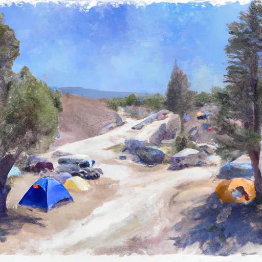
Camping Area | Reservations | Toilets | Showers |
---|---|---|---|
Bear Gulch | |||
Oakley City RV Park | |||
Father And Sons | |||
Bostetter | |||
Independence Lakes Basin | |||
Smoky Mountain - Castle Rocks State Park |