Summary
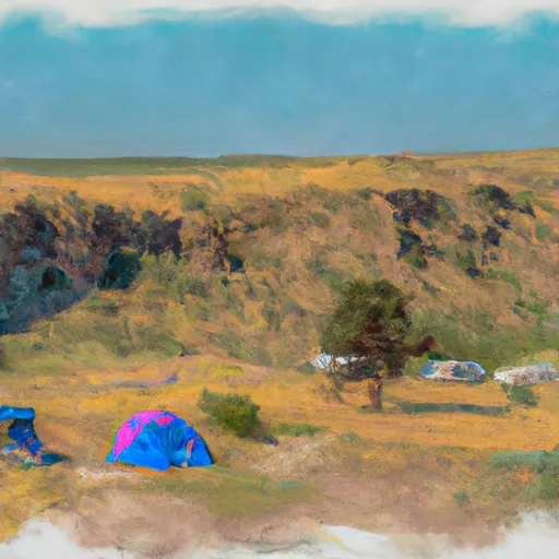
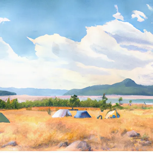
It is a popular destination for outdoor enthusiasts, particularly those interested in kayaking and canoeing. The landing provides access to the Upper Missouri River Breaks National Monument, a 375,000-acre wilderness area known for its stunning views and unique geological formations. Visitors can explore the area on foot, by boat, or by car, and may encounter a wide variety of wildlife, including bighorn sheep, elk, and pronghorn antelope. Camping, fishing, and hunting are also popular activities in the area.
One of the main draws of Coal Banks Landing is its historical significance. The site was once a major hub of activity during the Montana gold rush of the late 1800s, and remnants of the mining operations can still be seen today. Additionally, the landing is located near several important cultural sites, including the famous "White Cliffs" of the Missouri River and the Lewis and Clark National Historic Trail. Overall, Coal Banks Landing offers visitors a unique combination of natural beauty, history, and outdoor recreation opportunities that is sure to appeal to a wide range of travelers.
Hourly Weather Forecast
Area Campgrounds
| Location | Reservations | Toilets |
|---|---|---|
 Coal Banks Landing
|
||
 LITTLE SANDY COULEE REC SITE
|
||
 LONE TREE COULEE
|
||
 MONROE ISLAND
|
||
 EAGLE CREEK REC SITE
|
