Summary
This area is a popular destination for camping, fishing, boating, and hiking. The campground is situated along the Missouri River and offers 16 campsites with picnic tables and fire rings. There are also vault toilets and potable water available for campers.
One of the unique features of this area is the opportunity to witness the annual migration of the elk. During the fall, hundreds of elk can be seen moving through the surrounding hills and valleys. Additionally, the nearby Dearborn River offers excellent fishing opportunities for trout. Hikers can explore the nearby trails that lead to stunning views of the surrounding mountains and the Missouri River. Overall, the Wood Bottom Recreation Area is a great destination for those looking to experience the beauty of Montana's wilderness.
Hourly Weather Forecast
Area Campgrounds
| Location | Reservations | Toilets |
|---|---|---|
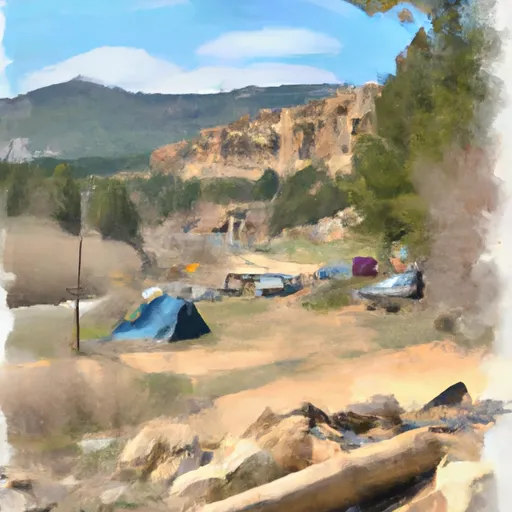 WOOD BOTTOM RECREATION AREA
|
||
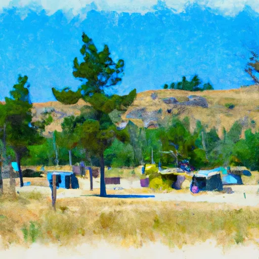 Wood Bottom Recreation Area - UMRBNM
|
||
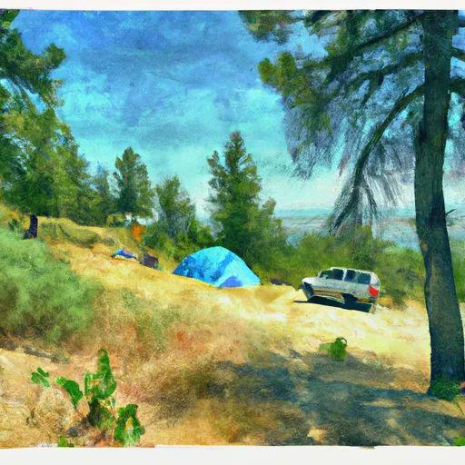 WOOD BOTTOM
|
||
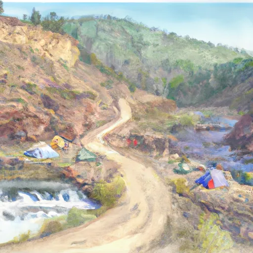 BLACK BLUFF RAPIDS
|
||
 SEINEURS REACH
|
||
 EVANS BEND
|
