Summary
It is a popular spot for outdoor enthusiasts who enjoy camping, hiking, fishing, and kayaking. The area is also significant because it is part of the Lewis and Clark National Historic Trail, which commemorates the famous expedition to explore the American West. Visitors to Decision Point can learn more about the history of the region by visiting the interpretive center nearby and exploring the trails that wind through the area. Additionally, the Decision Point State Park offers a range of recreational activities, including boating, picnicking, and wildlife watching. The unique landscape, which includes towering cliffs, rugged canyons, and pristine rivers, offers visitors a chance to experience the natural beauty of Montana.
There are several good reasons to visit Decision Point, but perhaps the most compelling is the opportunity to experience the beauty and history of the region. The area is home to a wide range of wildlife, including elk, deer, bears, and eagles, which can be seen from the many hiking trails and scenic overlooks. Visitors can also take guided tours of the Lewis and Clark Trail, visit nearby historical sites, or simply enjoy the peaceful surroundings. The area is particularly popular with anglers, who come to fish for trout in the pristine mountain streams and rivers. Whether you are looking for an outdoor adventure, a chance to learn more about history, or simply a place to relax and enjoy nature, Decision Point is a destination worth exploring.
Hourly Weather Forecast
Area Campgrounds
| Location | Reservations | Toilets |
|---|---|---|
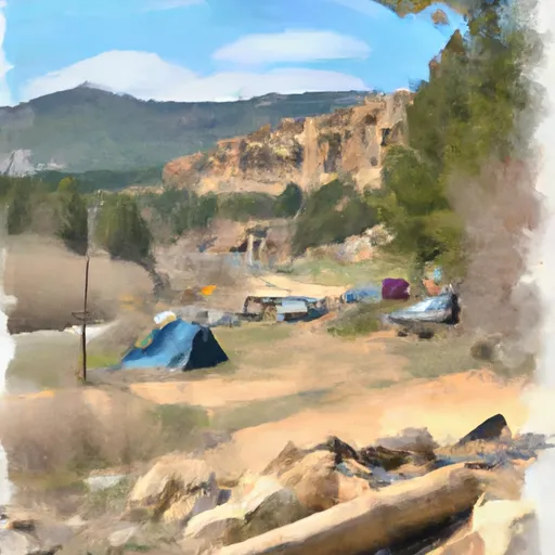 WOOD BOTTOM RECREATION AREA
|
||
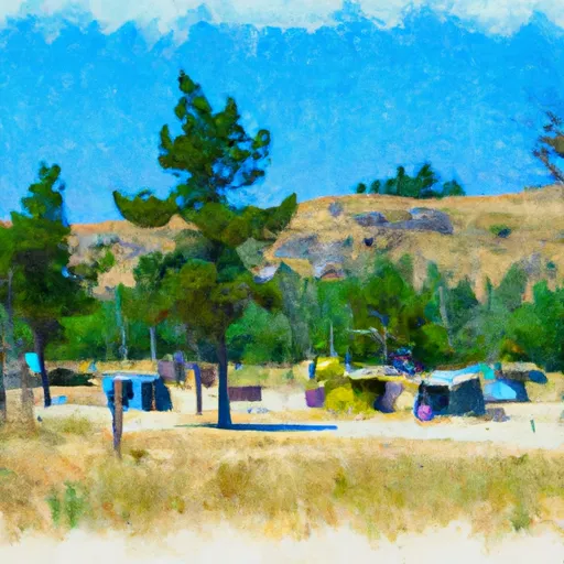 Wood Bottom Recreation Area - UMRBNM
|
||
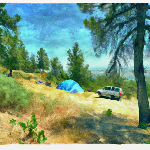 WOOD BOTTOM
|
||
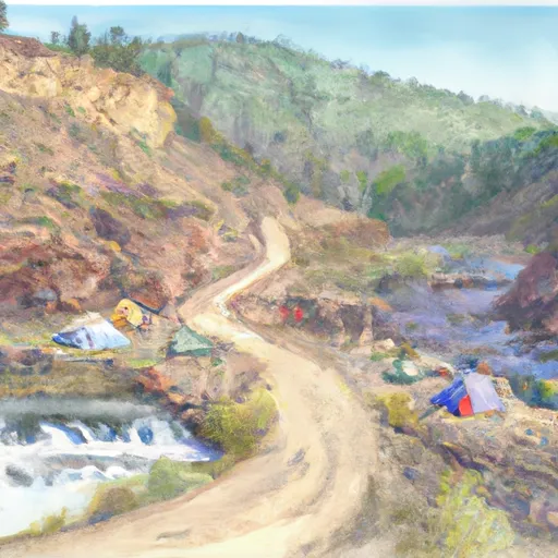 BLACK BLUFF RAPIDS
|
||
 SEINEURS REACH
|
||
 EVANS BEND
|
