Summary
°F
°F
mph
Wind
%
Humidity
15-Day Weather Outlook
5-Day Hourly Forecast Detail
Area Campgrounds
| Location | Reservations | Toilets |
|---|---|---|
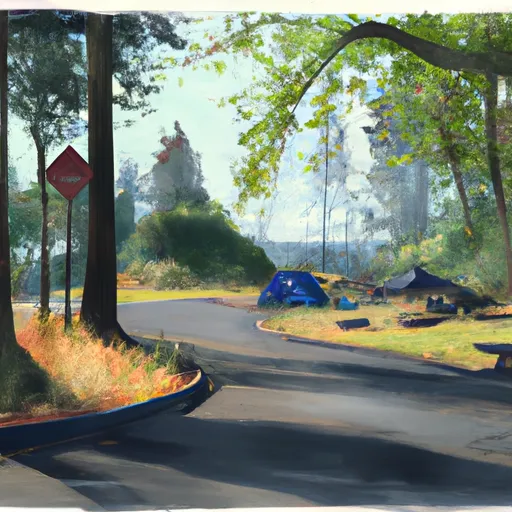 Toll Bridge County Park
|
||
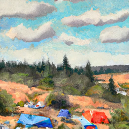 Gibson Prairie Horse Camp
|
||
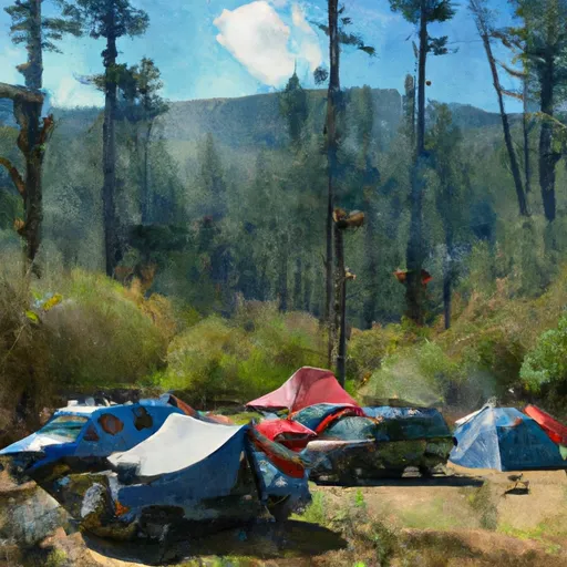 Routson
|
||
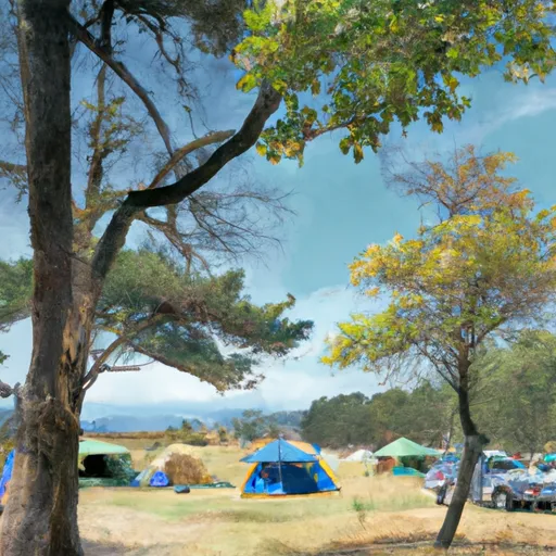 Kinnikinnick Campground
|
||
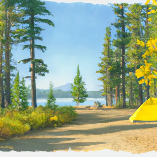 Kinnikinnick (Laurance Lake) Campground
|
||
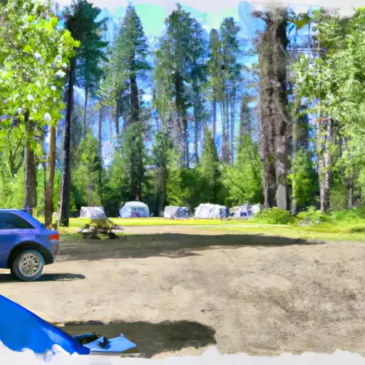 Knebal Springs
|

 Dimmick State Park
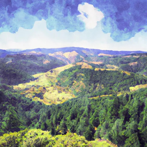 Wygant State Natural Area
 Panorama Point County Park
 Seneca Fouts Memorial State Natural Area
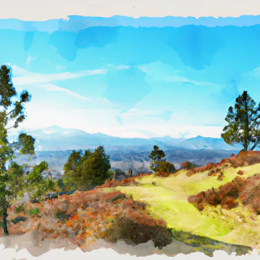 Vincenz Lausmann Memorial State Natural Area