Summary
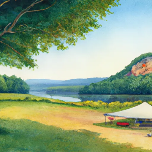
The area is a part of the George Washington and Jefferson National Forests, and it offers visitors stunning panoramic views of the surrounding mountains and valleys.
There are several reasons why the Sharp Top Overlook is a must-visit destination for nature enthusiasts and hikers. For starters, the overlook offers a challenging but rewarding hike up to the top of Sharp Top Mountain, which stands at an elevation of 3,862 feet. The hike is steep and rocky, but the views from the top are simply spectacular.
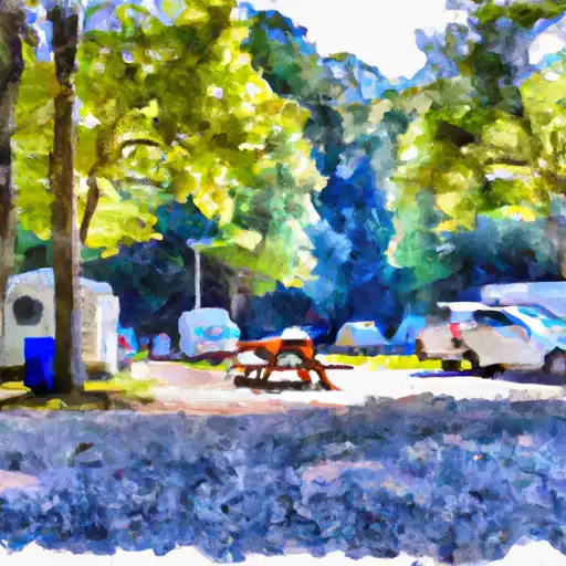
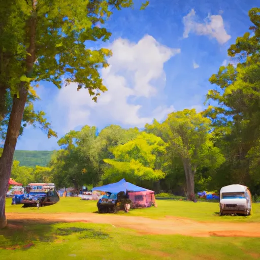
Aside from the hike, visitors can also enjoy picnicking, camping, and fishing in the nearby areas. The nearby Peaks of Otter Lodge provides comfortable accommodations and delicious local cuisine for those who want to stay overnight.
One of the unique things that visitors to the Sharp Top Overlook might see is the variety of wildlife that inhabits the area. Black bears, deer, bobcats, and other animals are known to roam the forested areas around the overlook.
Overall, the Sharp Top Overlook is a great destination for anyone looking to experience the beauty of Virginia's Blue Ridge Mountains. Whether you're a seasoned hiker or simply looking for a picturesque place to relax and take in the scenery, this area is definitely worth a visit.
°F
°F
mph
Wind
%
Humidity

 Peaks of Otter Campground
 Peaks of Otter - Blue Ridge Parkway
 North Creek
 North Creek Campground
 Cave Mountain Lake Recreation Area
 Cave Mountain Lake