

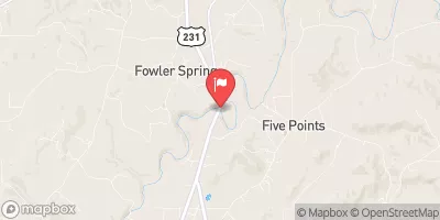
Locust Fork Near Cleveland, Al. Realtime Data
LOCUST FORK NEAR CLEVELAND, AL.
Realtime Data • Report • Conditions
47
Discharge (cfs)
1.2
Gauge Height (ft)
USGS 02455000
Streamflow discharge was last observed at 47 cfs, and a gauge height of 1.21 feet.
With the
% decrease since yesterday,
the streamflow average over the past 10 days is 34 .
Weather today, Tomorrow,
The river is fed by various tributaries and is a source of drinking water for the Birmingham area. The river is prone to flooding during heavy rainfall and has several dams that can impact the flow. Seasonal trends show higher flow levels during the winter and lower levels during the summer months. The hydrology of the river is of interest to scientists studying the effects of climate change on water resources. A quirky fact about the Locust Fork River is that it is home to several rare species of fish and mussels.
October 5, 2026
| Elevation | 558.0 ft |
| Last Updated | |
| Gage height, ft | 1.21 ft |
| Streamflow, ft³/s | 47.2 ft3/s |
| Percent of Normal | 147% |
| Year Over Year Average | 32 cfs |
| 24hr Flow Prediction | cfs |
| Maximum Recorded | 18,600 cfs |
| Geolocation | 34.02, -86.57 |
 Continue with Snoflo Premium