

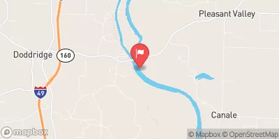
Red River At Spring Bank, Ar Realtime Data
RED RIVER AT SPRING BANK, AR
Realtime Data • Report • Conditions
3,110
Discharge (cfs)
10.6
Gauge Height (ft)
Streamflow discharge was last observed at 3,210 cfs, and a gauge height of 10.55 feet.
With the
% decrease since yesterday,
the streamflow average over the past 10 days is 3,575 .
Weather today, Tomorrow,
The flow of this river is influenced by a variety of factors, including rainfall, snowmelt, and human activity. Potential constituents of the river include sediment, nutrients, and pollutants. The river may be affected by tributaries and dams, such as Lake Texoma. Seasonal trends can also impact the flow and quality of the water. Interestingly, the Red River at Spring Bank, AR is known for its high levels of dissolved oxygen, which supports a diverse range of aquatic life. College students interested in environmental science and hydrology may find this streamgauge to be a valuable resource.
October 24, 2026
| Elevation | 175.0 ft |
| Last Updated | |
| Gage height, ft | 10.55 ft |
| Stream water level elevation above NAVD 1988, in ft | 170.99 ft |
| Streamflow, ft³/s | 3210.0 ft3/s |
| Percent of Normal | 92% |
| Year Over Year Average | 3,415 cfs |
| 24hr Flow Prediction | cfs |
| Maximum Recorded | 209,000 cfs |
| Geolocation | 33.09, -93.86 |
 Continue with Snoflo Premium