

Shellpot Creek At Wilmington, De Realtime Data
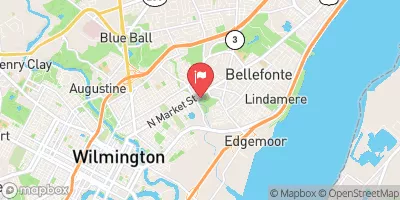
SHELLPOT CREEK AT WILMINGTON, DE
Realtime Data • Report • Conditions
2
Discharge (cfs)
1.6
Gauge Height (ft)
Streamflow discharge was last observed at 2 cfs, and a gauge height of 1.55 feet.
With the
% decrease since yesterday,
the streamflow average over the past 10 days is 4 .
Weather today, Tomorrow,
The main constituents of the flow are precipitation, groundwater, and runoff from surrounding areas. The creek receives water from several tributaries and does not have any significant dams. During the summer months, flow is typically lower due to less precipitation and higher temperatures. In the winter, flow can increase due to snowmelt and increased precipitation. Interesting facts about the hydrology of Shellpot Creek include its history as a source of power for mills in the area and its importance as a habitat for fish and other aquatic organisms.
October 11, 2026
| Elevation | 55.0 ft |
| Last Updated | |
| Gage height, ft | 1.55 ft |
| Stream water level elevation above NAVD 1988, in ft | 15.59 ft |
| Streamflow, ft³/s | 2.35 ft3/s |
| Percent of Normal | 145% |
| Year Over Year Average | 2 cfs |
| 24hr Flow Prediction | cfs |
| Maximum Recorded | 2,460 cfs |
| Geolocation | 39.76, -75.52 |
 Continue with Snoflo Premium