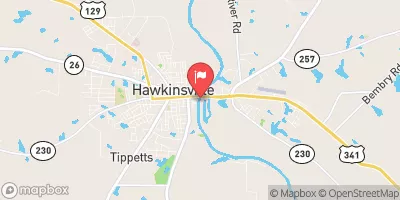
Streamflow discharge was last observed at 1,140 cfs, and a gauge height of 1.56 feet.
With the
% decrease since yesterday,
the streamflow average over the past 10 days is 1,377 .
Weather today, Tomorrow,
The river is primarily fed by precipitation and runoff from surrounding agricultural and forested lands. Tributaries that join the river at this location include Rocky Creek and Big Sandy Creek. There are no major dams on this stretch of the river. Seasonal trends show higher flow during the wet winter and spring months, while low flow occurs during droughts in the summer and fall. The hydrology of the Ocmulgee River at Hawkinsville is important habitat for fish and other aquatic organisms, including several species of endangered mussels.
| Elevation | 206.0 ft |
| Last Updated | |
| Gage height, ft | 1.56 ft |
| Streamflow, ft³/s | 1140.0 ft3/s |
| Precipitation, total, in | 0.0 in |
| Temperature, water, degC | 28.8 deg C |
| Percent of Normal | 68% |
| Year Over Year Average | 1,685 cfs |
| 24hr Flow Prediction | cfs |
| Maximum Recorded | 44,900 cfs |